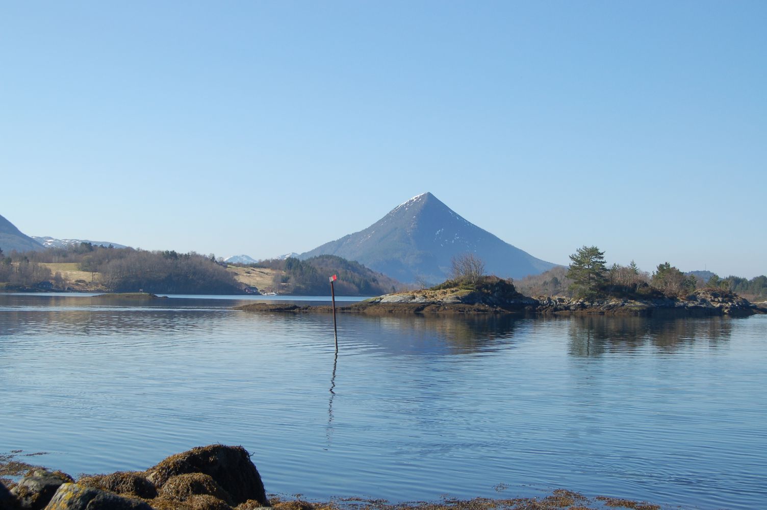
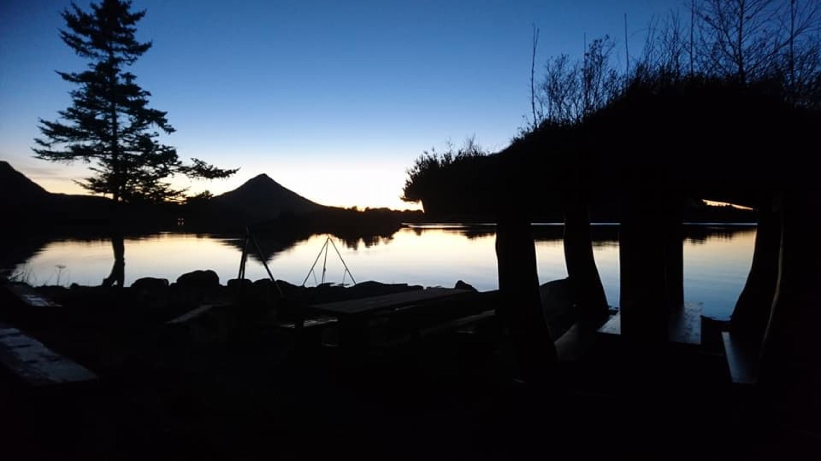
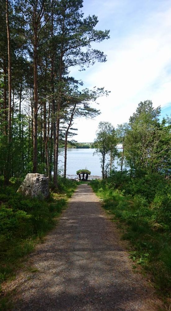
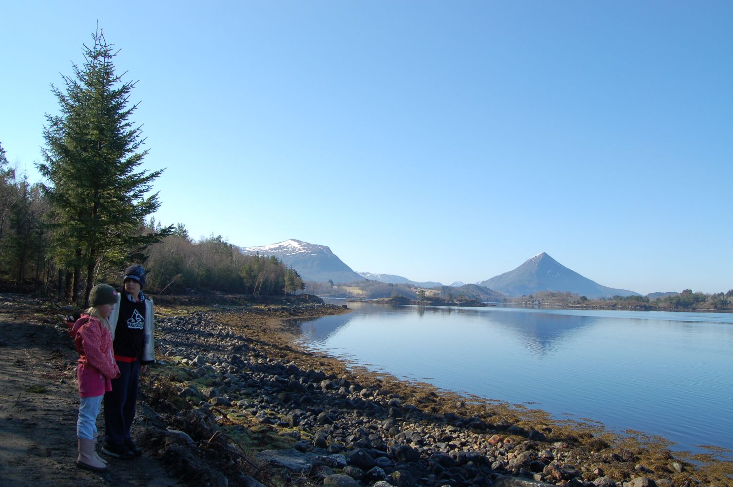
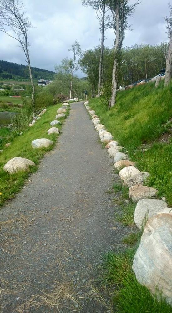
This trail is a great natural experience down by the sea with the rest area on the outside of the Elnestangen point where you will find yourself all the way down by the seaside with a great view out to the Fræna Fjord. On a nice afternoon you can enjoy a wonderful sunset from there.Several benches are set up in the area right next to the stones along the shoreline, and with time there will be opportunities for grilling here as well.This short and lovely trail runs right next to the centre of Elnesvågen, so take the opportunity to enjoy this nice walk if you are going to Elnesvågen anyway.
Route description
The trail starts at a small car park about 1 km after the turnoff to Kråkneset from County Road 663 (Fv663). (You can also start the trail from the petrol station in Elnesvågen and follow the road down facing Kråkneset until you see a sign for the Elnestangen coastal trail.)NB: the car park does not have specially MARKED parking bays for people with limited mobility with the minimum standard size of 3,8x5 m, but it will be convenient for them to park here and come out of the car. The car park has a slight incline.Starting from the car park, follow the coastal trail out to the Elnestangen point walking on a well-surfaced gravel path. After about 1.5 km along the way you will find benches and a rest area all the way down by the seaside. At this point you will get a great view inwards to the centre of Elnesvågen and out to the Fræna Fjord. From here, the trail continues along the gravel paths for a couple of kilometres further into the forest until you come across the road which will take you back to the car park. This looped trail is about 4.2 km altogether.
Starting point is also the endpoint of the trail.
Access and parking
The trail starts at a small car park about 1 km after the turnoff to Kråkneset from County Road 663 (Fv663). (You can also start the trail from the petrol station in Elnesvågen and follow the road down facing Kråkneset until you see a sign for the Elnestangen coastal trail.)
There is a signposted car park about 1 km down the road towards Kråkneset, if you turn off County Road 663 (Fv663) in Elnesvågen.
(You can also start the trail from the petrol station in Elnesvågen and follow the road down facing Kråkneset until you see a sign for the Elnestangen coastal trail.)
NB: the car park does not have specially MARKED parking bays for people with limited mobility with the minimum standard size of 3,8x5 m, but it will be convenient for them to park here and come out of the car. The car park has a slight incline.
Hiking route
Green
Distance
4,24 km one way
Elevation
88 m
Duration
1 t. 20 min.
Sesong
Winter, Spring, Summer, Autumn
Highest Point
38 masl
Signage
Both signed and marked
Mobile coverage
Map route
Surface type
Distance
Asfalt
1
Grus
3
Public transport
Take a bus from Molde to Elnesvågen and walk down from the petrol station in the centre of Elnesvågen.

 Driving directions
 Route data