Eidskremheia from Eidskrem
Aukra
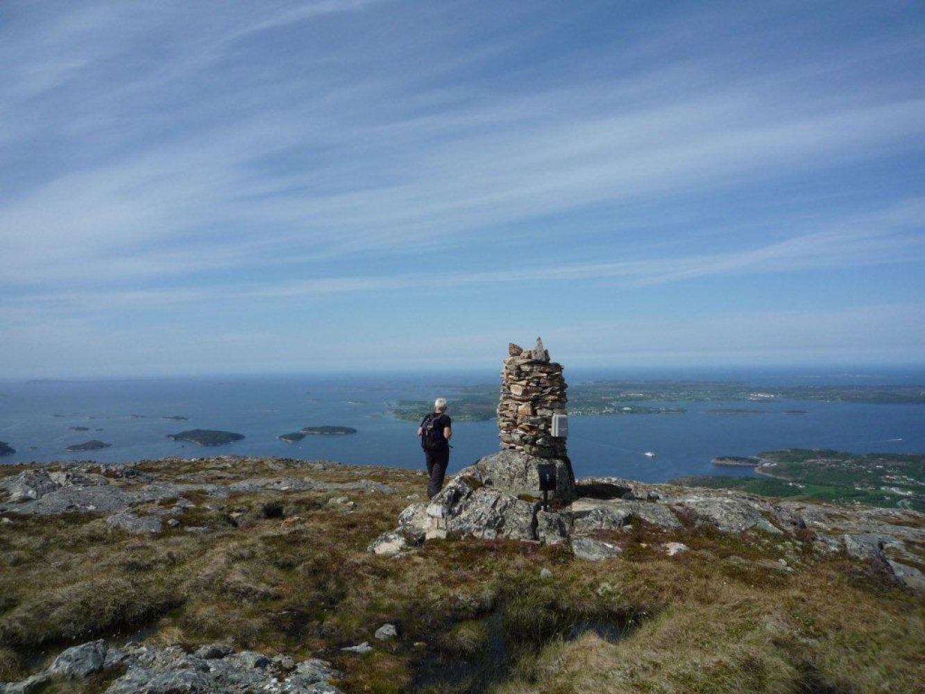
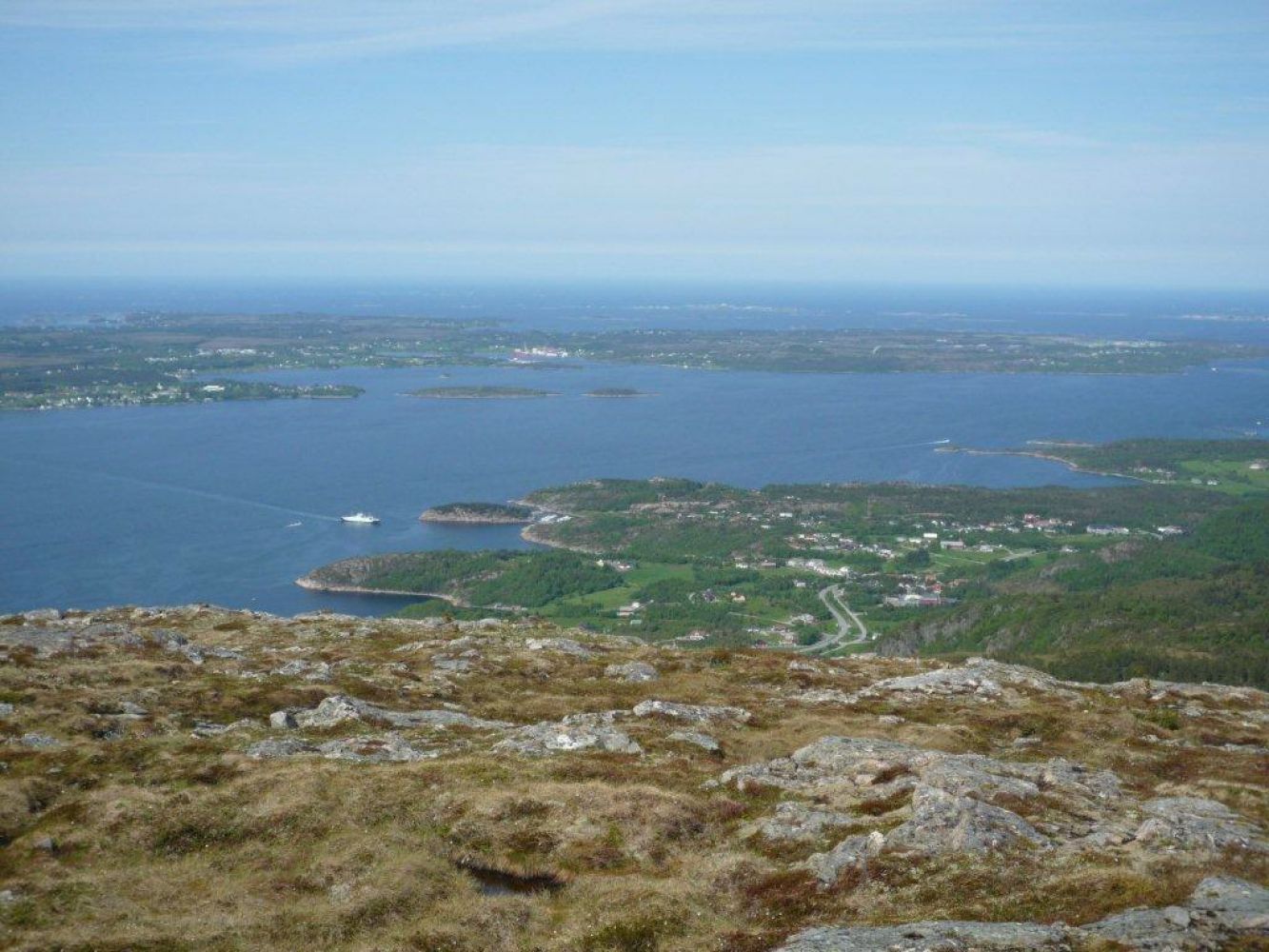
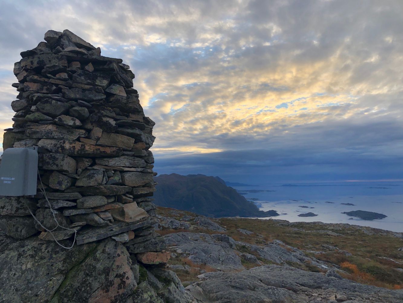
Eidskremheia is the highest mountain in Aukra municipality (493 m.a.s.l). The border to Molde municipality goes along the Eidskremheia mountain. The view from here is fantastic, so be sure to take some breaks to enjoy the scenery along the way. Lomtjønna and Skartjønna lakes are located in this area and can be used as rest areas.
Park your car in the parking area on the east side of the county road in Eidskrem. The trail starts across the road that leads to rental cabins in Eidskrem (there is a sign by the road). The path climbs steeply uphill and then flattens out. Turn right and go across the river, past a cabin, then follow the marked path until you come across another path that goes from Fangholsetra. Follow the path up to the top, then turn right towards Eidskremhemheia.You can also start walking from Fanghol. Park your car by the old school building in Julsundet (Fanghol) and walk in the direction of Molde for about 300 m. The mountain way (Fjellvegen) starts from the information desk here. The trail follows the way up to Fangholsetra, then swings to the right, goes up P-Skaret and continues further down to the right towards Langmyra. Walk along the west side of Langmyra and further up the ridge towards the Eidskremheia mountain. On your way from Langmyra you will come across a path that goes from Eidskrem. Up on the Eidskremheia mountain it is nice to walk westwards as the altitude increases.
You can start this hike in Hola and go down towards Eidskrem or walk in the opposite direction.
Start in Eidskrem.
There are car parks both in Eidskrem and Fanghol.
Duration
2 t. 25 min.

Sesong
Spring, Summer, Autumn
| Surface type |
Distance |
| Sti |
2,7 |
You can take the bus to Aukra and Fræna. Check the bus routes.
Map series 711 Map sheet 1220 I Hustad or tourist map Molde. Use the tourist map; Julsundmarka.
 Driving directions
 Route data
GeoJSON