Dyrnes to Brattværet
Smøla
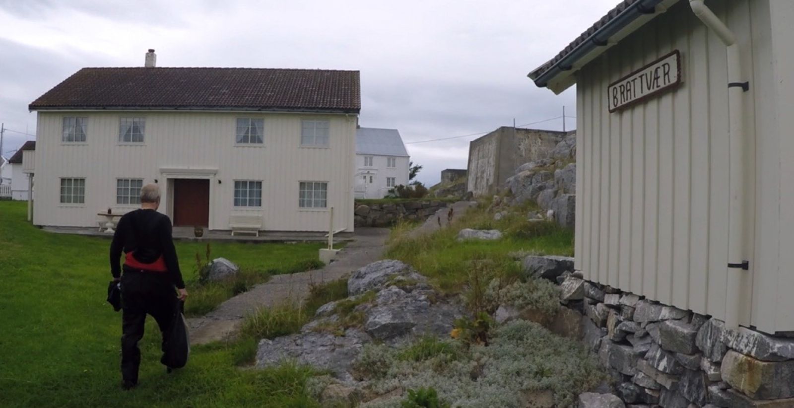
Fishing cabins on Brattværet were constructed between the years 1150 and 1200. These are now holiday homes and many people spend the summer on this little island. The route out to Brattvær is partly sheltered. You will cross from Indre Råkholmen to Stovardøya island, a stretch of 750 metres. The route is mainly exposed to northwesterly winds, so study the weather reports closely before crossing, as you will have to return the same way.
Launch your kayak from the floating dock in the leisure boat harbour on Dyrnes. After exiting the breakwater, you can choose whether to take the route leading south or north of the island of Storvardøya. The crossing is roughly just as long from both places, and both have the same amount of exposure to wind and weather.
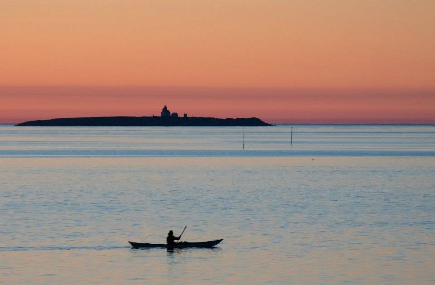
Storvardøya has a narrow sound and sandy bottom. A good place for a break. After Storvardøya, there is a collection of reefs and islets. It is easy to see Brattværet, an island with a number of white houses. There are several spots to go ashore, including the floating dock at the southwest part of the island included in the route. Pull up your kayak and place it in a spot that won't block boaters.
Take a stroll along Brattværet, as there is a lot of interesting history associated with the area. At the northeast side, in the direction of Andholmen, is an islet called Steggelholmen. This is easy to find, as it is overgrown with green grass and not heather. It also has a round shape. This was once the site for executions in Nordmøre during the Middle Ages. The last person to be executed was a young woman accused of having killed an infant who was born in secret. Her head was placed on a pole, which gave rise to the name of the island. On Brattværet is a hill named "Alvoret " ("Solemness"), which was where the wives of fishermen stood searching for their husbands during storms. This site offers stunning views of the outside of Smøla.
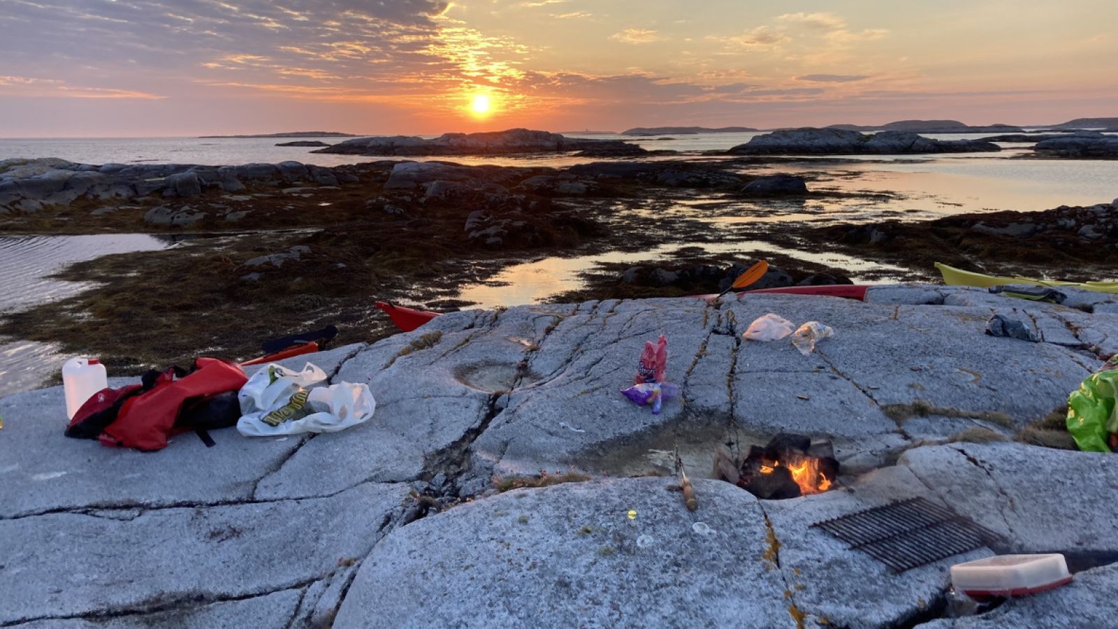
On the north side of the fishing village is an archipelago with many islands suitable for tent camping.
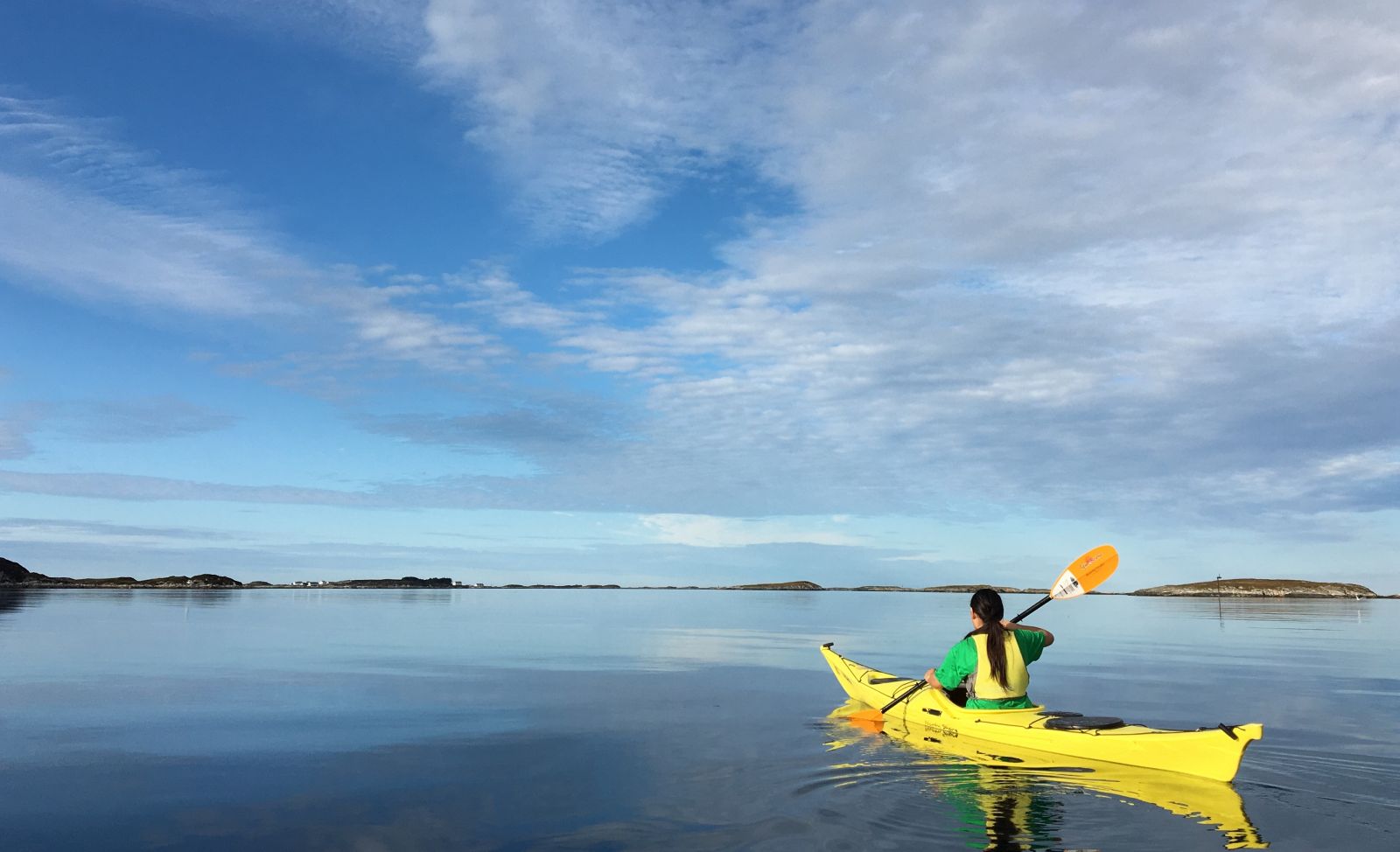
Smøla, with its 6000 islands, islets and reefs is a fantastic destination for paddlers. It is easy to go ashore on most of the islands, and you can paddle around them without even meeting anyone else. There is a good chance you'll encounter an eagle, since this area has the largest eagle population in the country.
When exiting from the county road (Rv) to Dyrnes leisure boat harbour, look for the signs "Kro" and "Fiskeindustri". To get down to the harbour, turn left (150 m from the county road) to Bøteriet pub. At Bøteriet, follow the road to the left, about 50-75 metres. The open area you see when you arrive is the parking area, with space for about 8 cars. It's just a short distance to the floating dock from here. There is also plenty of parking at the crossroad, and just a short walk down to the leisure boat harbour.
Distance
9,55 km both ways
Duration
2 t. 25 min.

Sesong
Spring, Summer, Autumn
Most of this route leads through sheltered waters, but take care when crossing from Dyrnes to Storvardøya.
You will have a 750-metre crossing to Stovardøya. This is mostly exposed to winds fro mthe northwest, so study the weather report closely before crossing and when returning.
 Driving directions
 Route data
GeoJSON