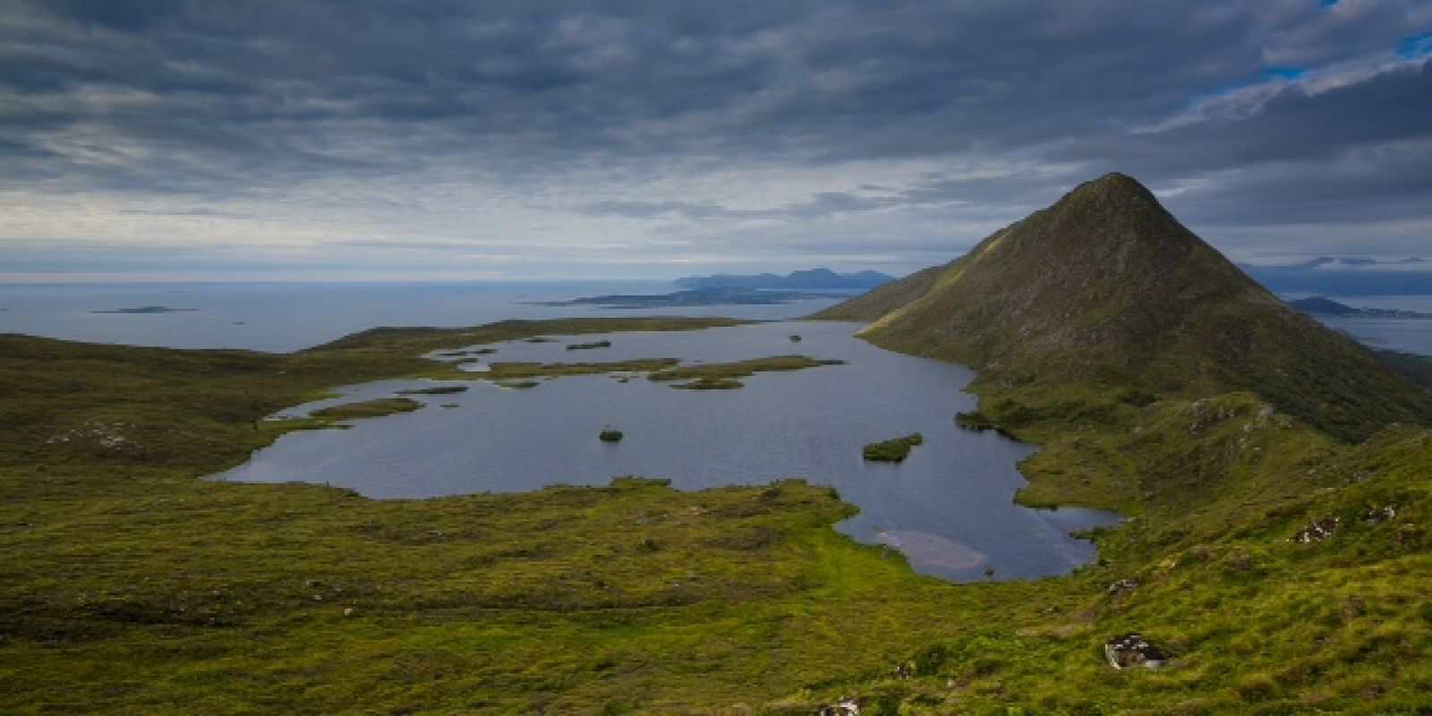
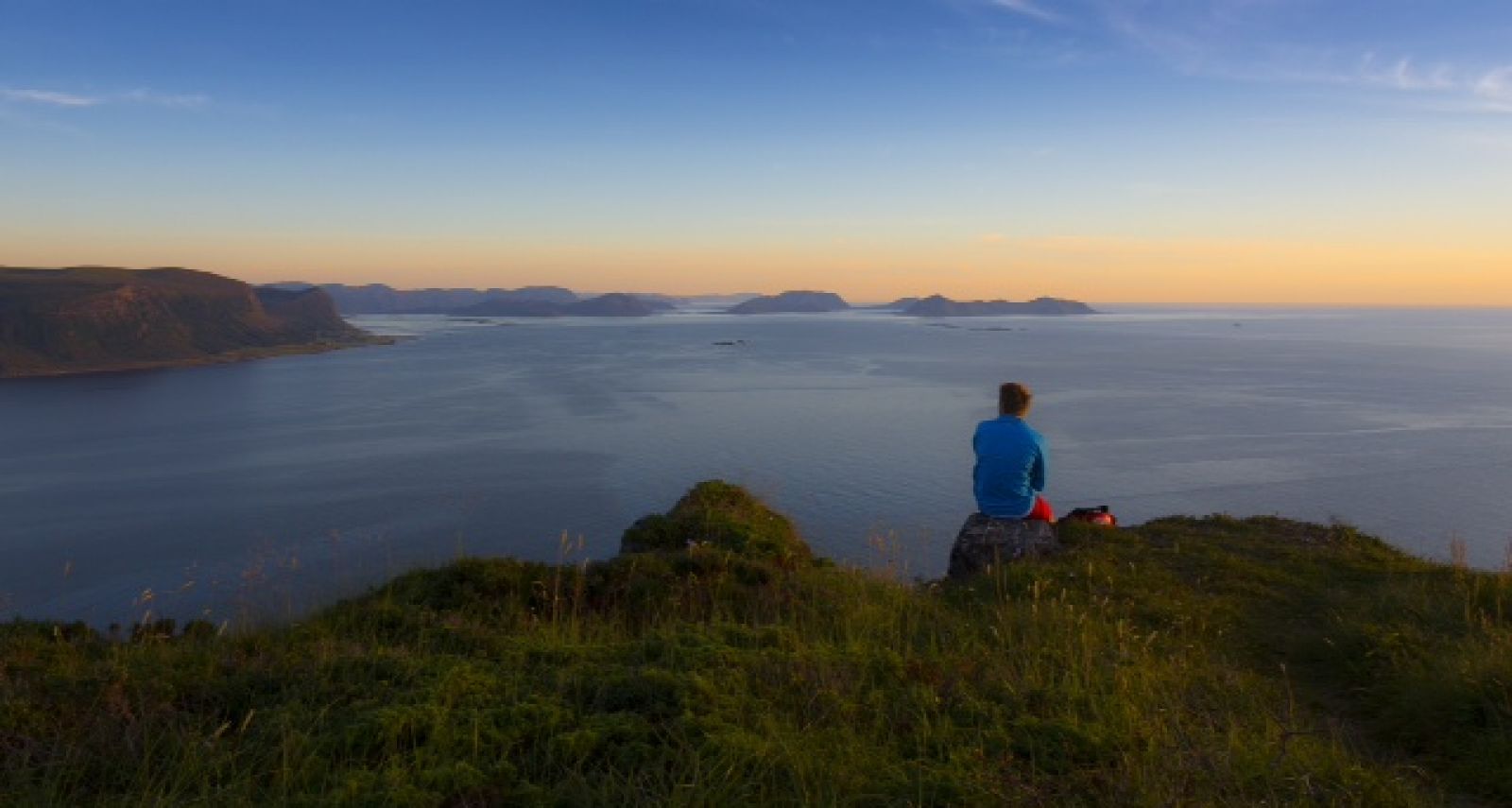
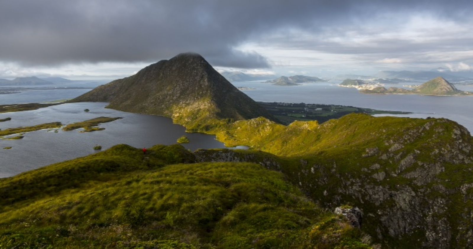
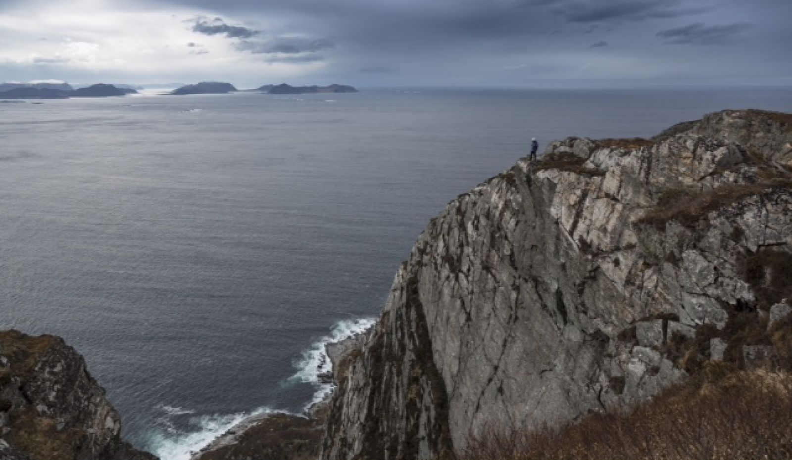
This is a spectacular trail with partly exposed path. The trail offers magnificent views of the open sea in the west evoking images of the ancient Vikings sailing to the islands of the North Sea.
Route description
The trail starts at the same point as the standard trail Dyb — Storhornet. Turn left just before the lake and follow the ridge to the west / southwest. At the end of the trail you will reach an open area with atmospheric scenery.
The standard is to follow the same way back. But if you want, you can continue your trail by walking down to Alnes. This trail is also waymarked. From here, there are a number of alternative routes which will take you back to the car park in Dyb. For more information please read the information board at the car park in Dyb.
Access and parking
The trail starts from the car park in Dyb. To get there, follow the road along the island of Godøya going south from the exit of the tunnel until the end of the road at the island’s southern tip. It is about 4 km from the exit of the tunnel.

 Driving directions
 Route data