Duå from Seterdalen (Skeisdalen)
Gjemnes
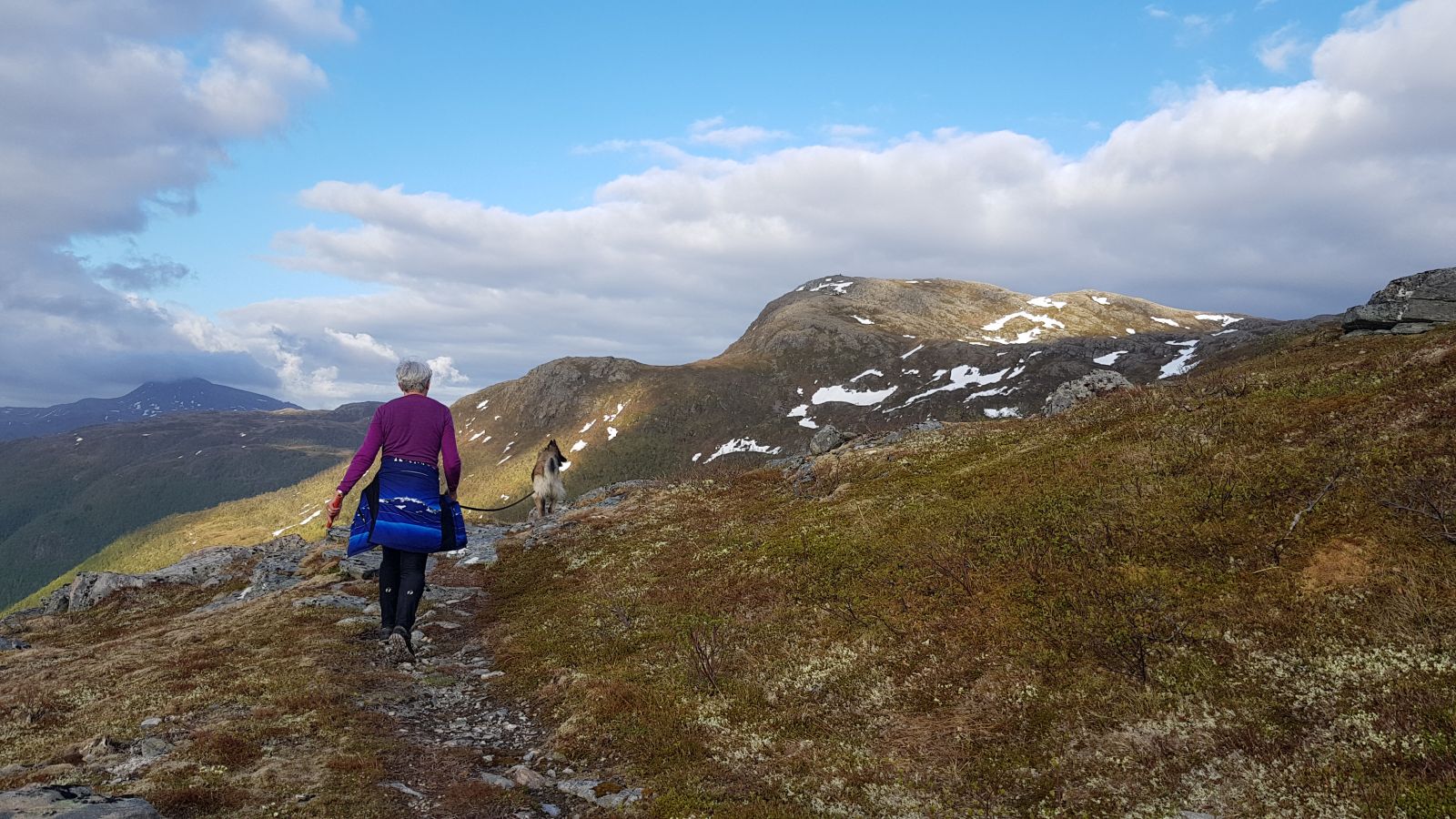
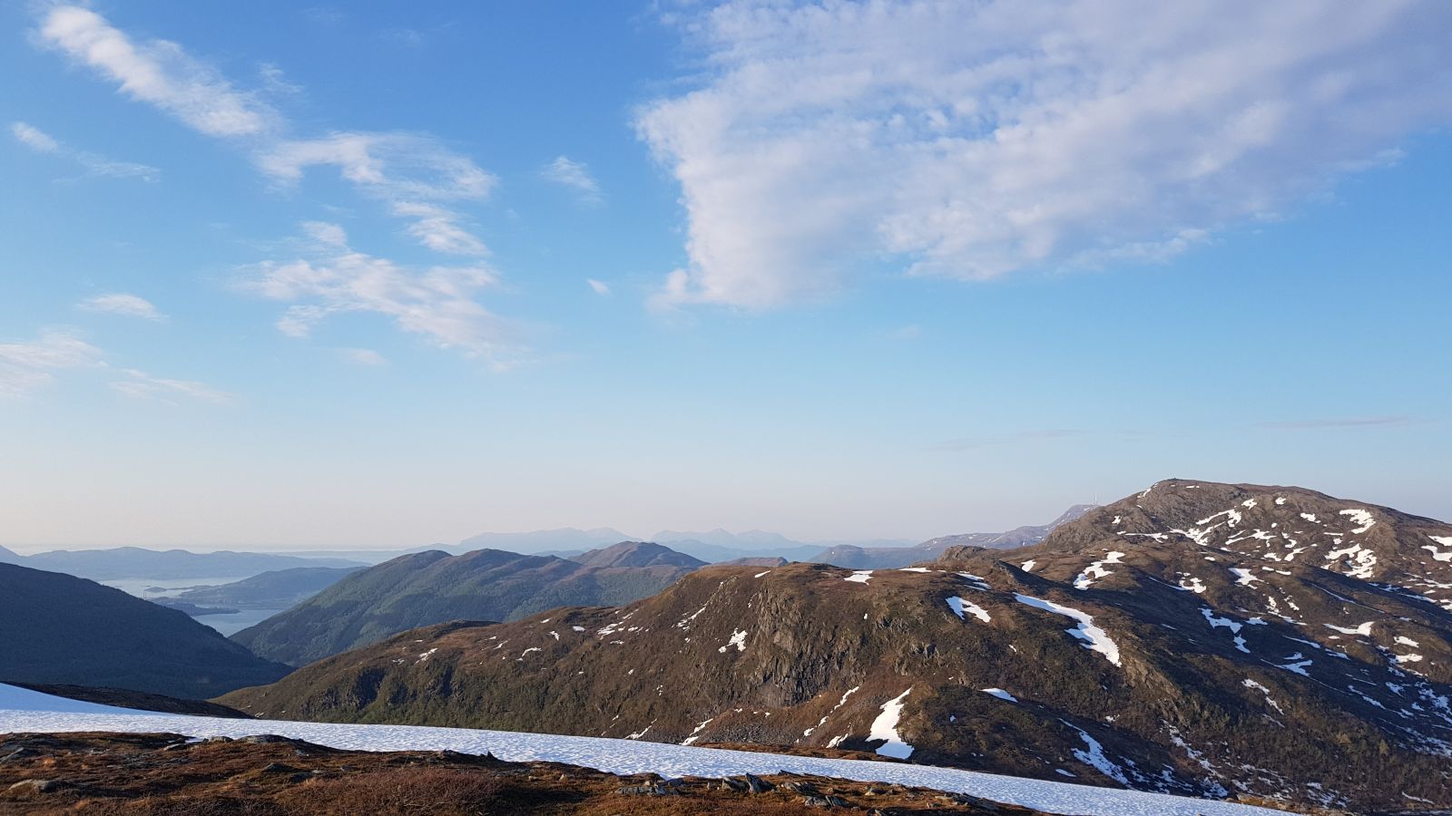
The trail will quickly take you up the hillside to Lake Trollvatnet. From here, you will be walking to Mount Duå across a beautiful open area via Mount Kvitskreheiin while enjoying a great view of the Skeisdalen valley in the direction of Gjemnessundet and a view towards Romsdalen and the Trollheimen mountains.
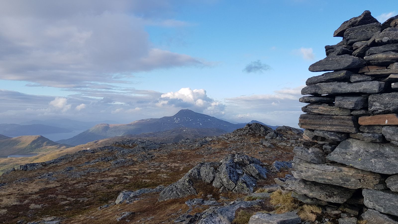
The trail starts at the end of the farm road. The top of Mount Duå and the trail destination point are both visible from the car park. Follow the signs and waymarks across the marshland. There are bridges over two small streams here and some stones you can step on to cross the Skeisdalselva river. The path will take you into the forest on the other side and then uphill through another mixed forest area until you find yourself standing by Lake Trollvatnet. There is a sign where the path takes off from the corner of the lake and climbs up the hill to the left. Follow this path and you will soon come out of the forest and walk up Kvitskreheiin. This section of the trail is bit uneven, but easy to follow. The path is mostly clear and is marked with cairns, road poles and red waymarks. After a while you will see some larger stone cairns on your right-hand side, but this is not where you should be walking. Keep to your path as it swings to the left. A final ascent to the top begins right after you have passed the lake on your right-hand side at 624.5 m a.s.l. The path here is easily seen until it flattens out a bit on a mountain shelf. On your way up from here you will have several route options, but the suggested route is marked with red paint and road poles and goes up to the right. It is recommended to follow the same path back to the starting point. If you have a transportation option from Osmarka, it would be nice to walk down there as well. In that case follow the marks on the trees down from the top.
The trail postbox with a journal and a code is up by the cairn.
Drive along County Road FV666 and turn off towards Skei between Batnfjordsøra and Torvikbukt. Follow the road as it runs into the valley and turn off onto the farm road in the direction of Skeissetra (toll road, 30 NOK). Follow this gravel road until it ends.
Park your car at the end of the farm road. There are parking spaces for only a few cars.

 Driving directions
 Route data