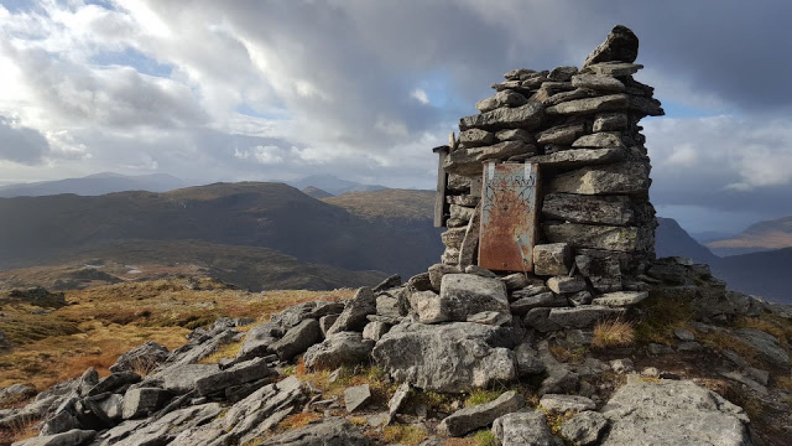
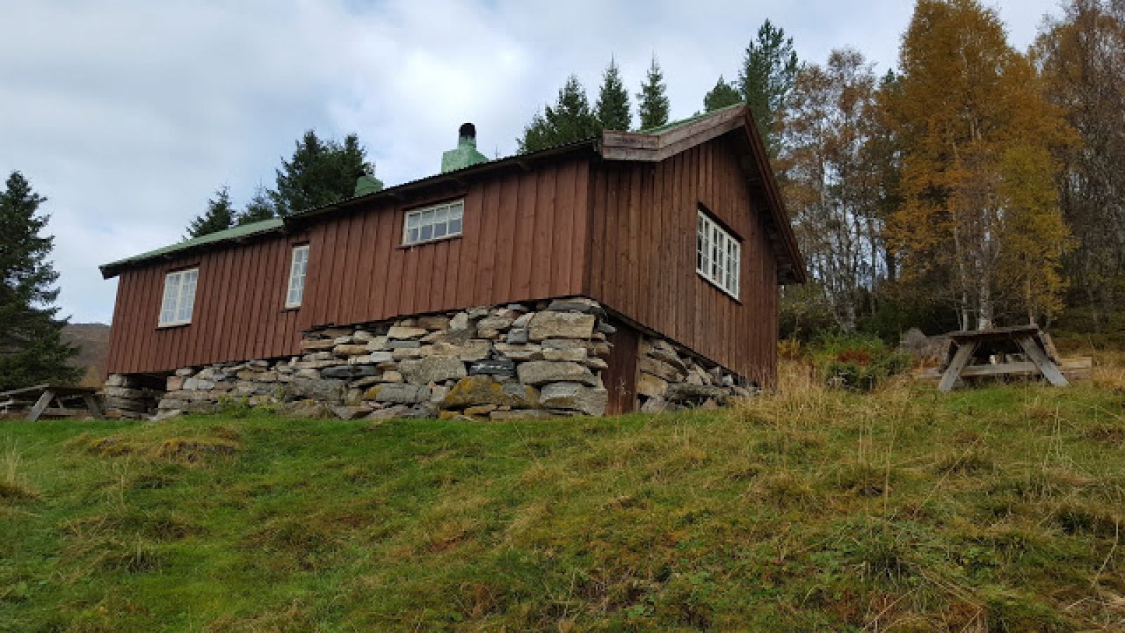
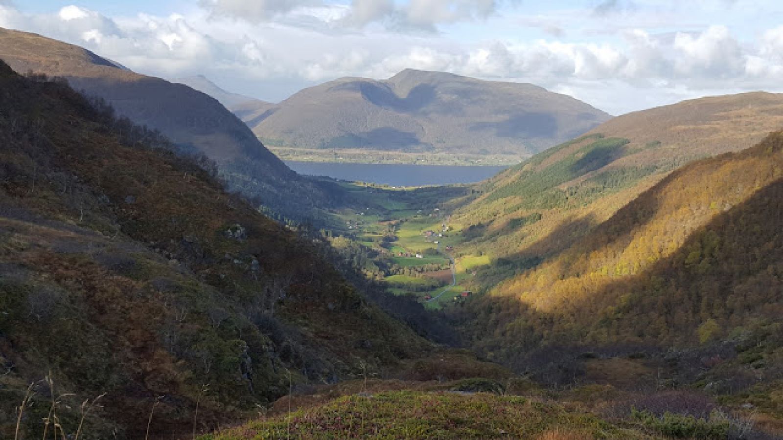
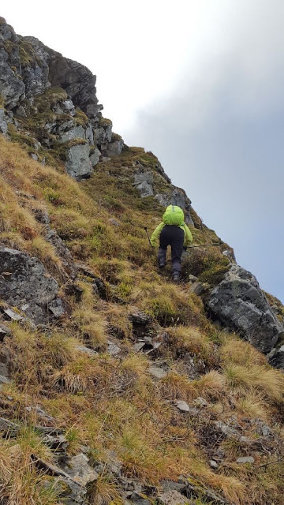
The hike starts at the Osmarka Ski Stadium from where Mount Duå is already visible in the northwest. Follow the gravel path along the illuminated ski trail for almost 1 km until the point where the ski trail crosses a forest road. Turn left and follow the forest road for about 1 km. After you have passed the river and continued for a couple of hundred metres more, turn left onto a tractor road (toll road). Continue down this road for over 1 km. When you have reached the top of the hill and gone a couple of hundred metres more, turn off the road over a small wooden bridge and follow the path up to the Duålisetra summer mountain farm. There are benches to rest on at the farm. Walk past the farmhouse and continue northwest to Mount Duå by following the path along the fence. You will soon come to an intersection where you can continue straight ahead to Stortolla. Take the path up to the right. Go through the forest and then a marshy area. You will pass Duålia Hill on your right and go through a small valley. Follow the waymarks further towards Duskaret where you will get a view of the Skeidsdalen Valley/Øre and Gjemnesstranda on one side, and Osmarka on the other. The path from Duskaret is partly unclear. This is why the route is well marked with red paint on both poles, stones, and rocks. There are ribbons tied to some of the poles. At the end of the trail, it will be quite steep on one side, but still okay for walking. The cairn at the top will pop up quite unexpectedly. This is the only marked route to Mount Duå from Osmarka. The easiest way to return is to follow the same route back. If you feel confident enough, you can also take one of the many alternative routes back to Osmarka. You will see Duålisetra if you go southeast from the cairn. It can be used as a reference point. It is also possible to start and end this hike from the Skeidsdalen Valley (
https://mrfylke.no/Morotur/Turar/Duaa-fraa-Seterdalen-Skeisdalen), Sollia/Botterlia, or Duåsen.

 Driving directions
 Route data