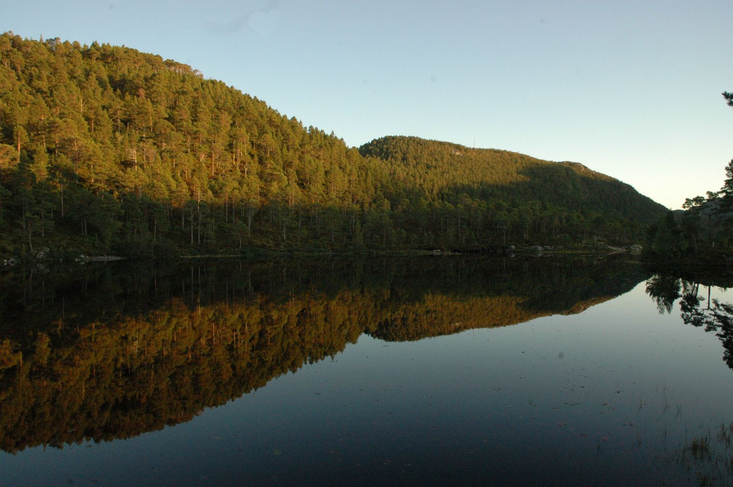
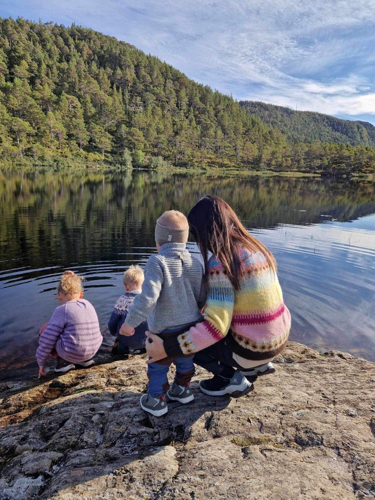
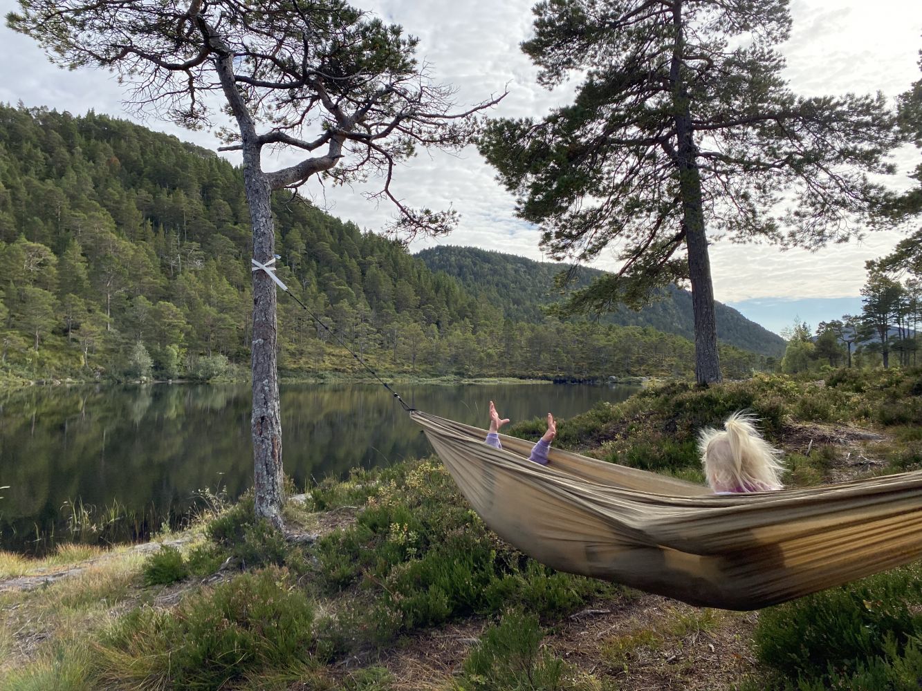
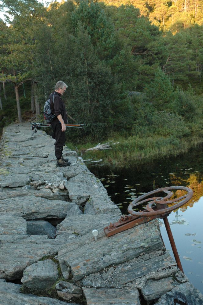
Drabovatnet, or Svartvatnet, is the third largest lake in Kristiansund municipality. The lake has an idyllic location in the forest in the northern part of the island of Frei. The trail covers some gentle and somewhat hilly terrain and is an ideal hike for the whole family.You can take an afternoon walk to Lake Drabovatnet or bring your fishing rod here on a nice autumn evening. The period from April to June is ideal for fishing, since this is when the fish are most active. Fishing in this lake is for free!Lake Drabovatnet is one of the areas used by the winter population of whooper swans on Frei Island during ice-free periods. The Eurasian wigeon, Eurasian teal, and common goldeneye are the kinds of birds that reside here during the autumn migration. The mallard nests here every year.
Route description
The hiking trail starts from the car park. You will see a sign that reads “Drabovatnet” at the start of the trail. The path is easy to see and follow all the way up to the lake. You will walk uphill along a well-trodden path. There are tree roots covering some parts of the path. During the periods of heavy rain, some sections of the trail can be wet. The wettest sections of the trail are laid out with planks of wood and equipped with small bridges.If you continue walking south along the lake, you can get to the Kjerringvatnet og Setervatnet lakes, as well as all the way up to Prestmyra.
Arrival and parking
Your destination is Lake Drabovatnet. It is located on the island of Frei.
Drive along National Road 70 (Rv70).
From Kristiansund: Drive along National Road 70 (Rv70) until you reach the junction in Rensvik. Drive straight ahead (do not turn right towards Molde) onto County Road 265 (Fv265), Kvalvågveien.
From Molde and the Krifast road system: Drive along National Road 70 (Rv70) until you reach the junction in Rensvik. Turn right onto County Road 265 (Fv265), Kvalvågveien. (If you turn left, you will end up in Kristiansund.)
After 2.3 km down this road (Nerlandsflata), you will see a car park on your right. This is where the path starts.
Free parking.
Hiking route
Green
Distance
0,95 km one way
Elevation
52 m
Duration
40 min.
Sesong
Winter, Spring, Summer, Autumn
Highest Point
119 masl
Signage
Signed
Mobile coverage
Map route
Surface type
Distance
Sti
2
Public transport
Bus. Please see http://www.177.no
There is a bus stop near the car park.

 Driving directions
 Route data