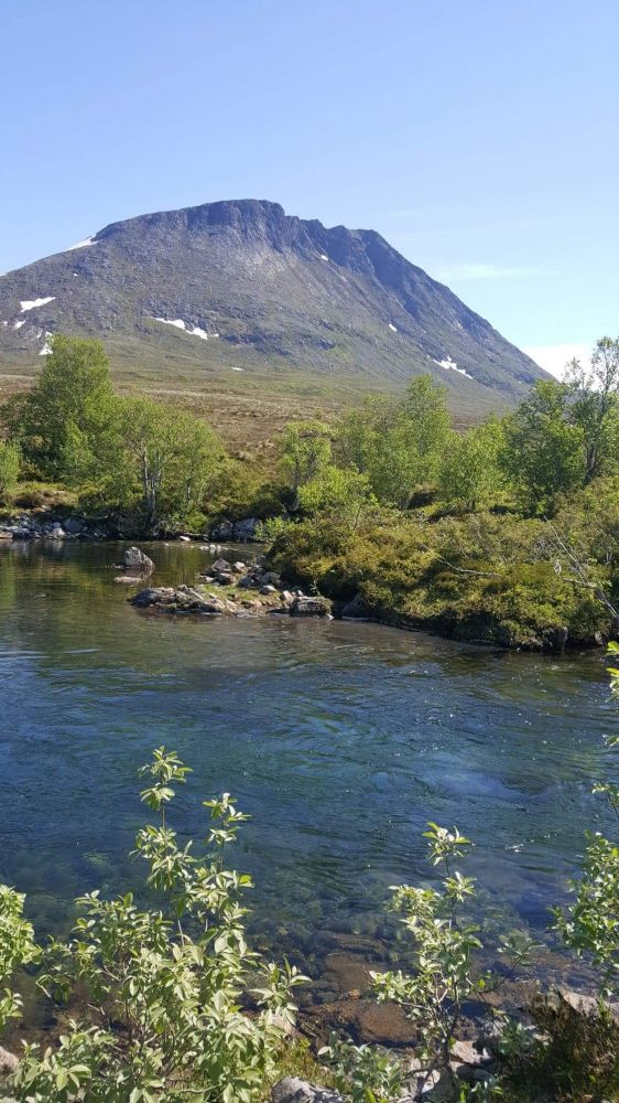
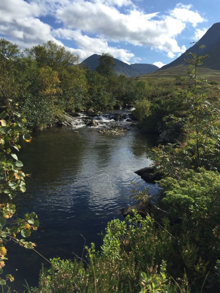
The scenic trail to the dam near Okla is well suited for an afternoon and evening walk. The trail gradually ascends to the destination point at the dam which offers a beautiful view. Begin by walking along a good-quality gravel road through the forest. Follow the road for about 970 metres up to Skaret where it flattens out. Turn left at the postbox. Follow the road as it climbs up past the cultivated land and then down towards the dam for about 2.1 km. The quality of the road from the highest point of the trail down to the dam is slightly worse. Please remember to close all the gates behind you as there may be animals grazing in the area.
Access and parking
Turn off County Road 652 (FV652) towards Årskogdalen and follow Åsevegen Road until you reach the boom gate to Årskogdalen. You will find space to park your car on the right side of the road.

 Driving directions
 Route data