Norsk

Daurmålsfjellet

Fjord

The trail at a glance

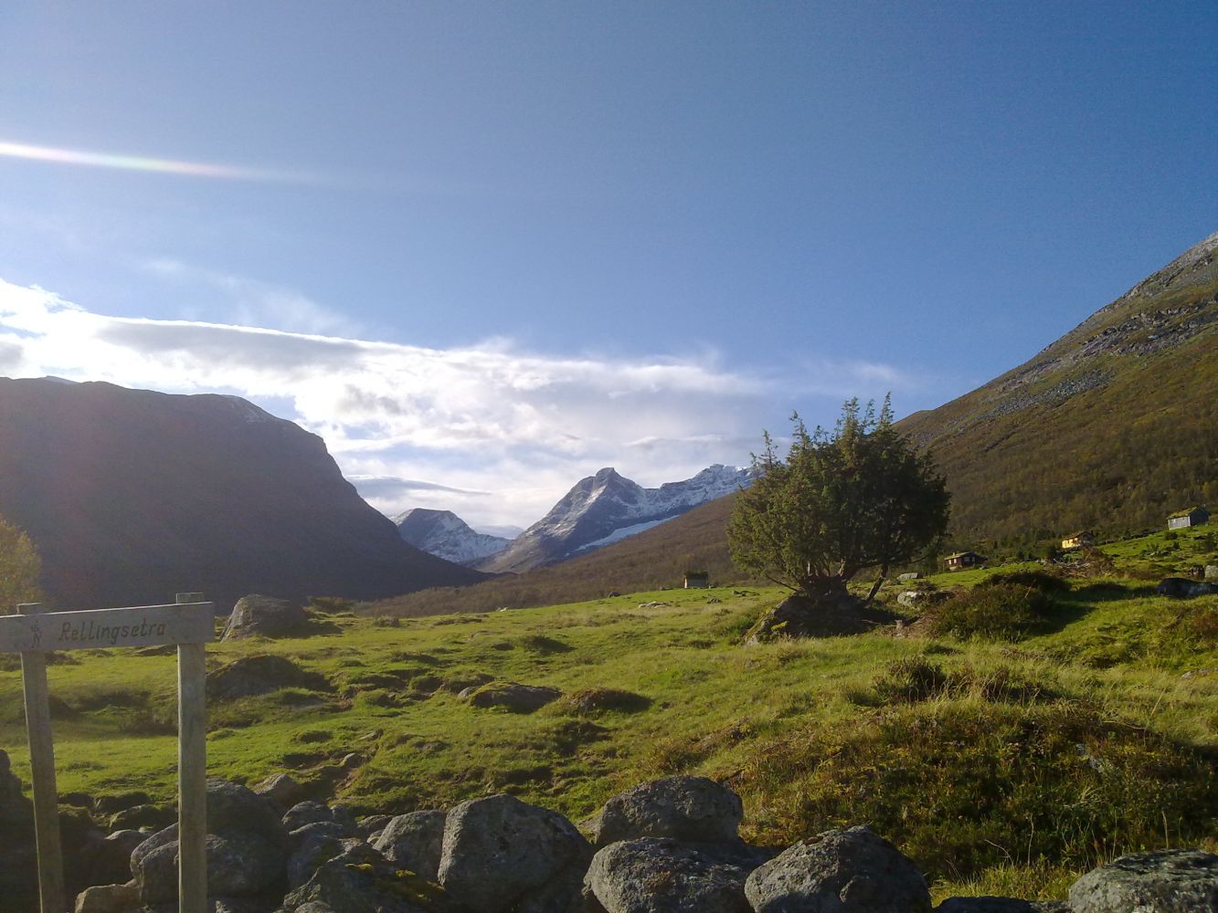
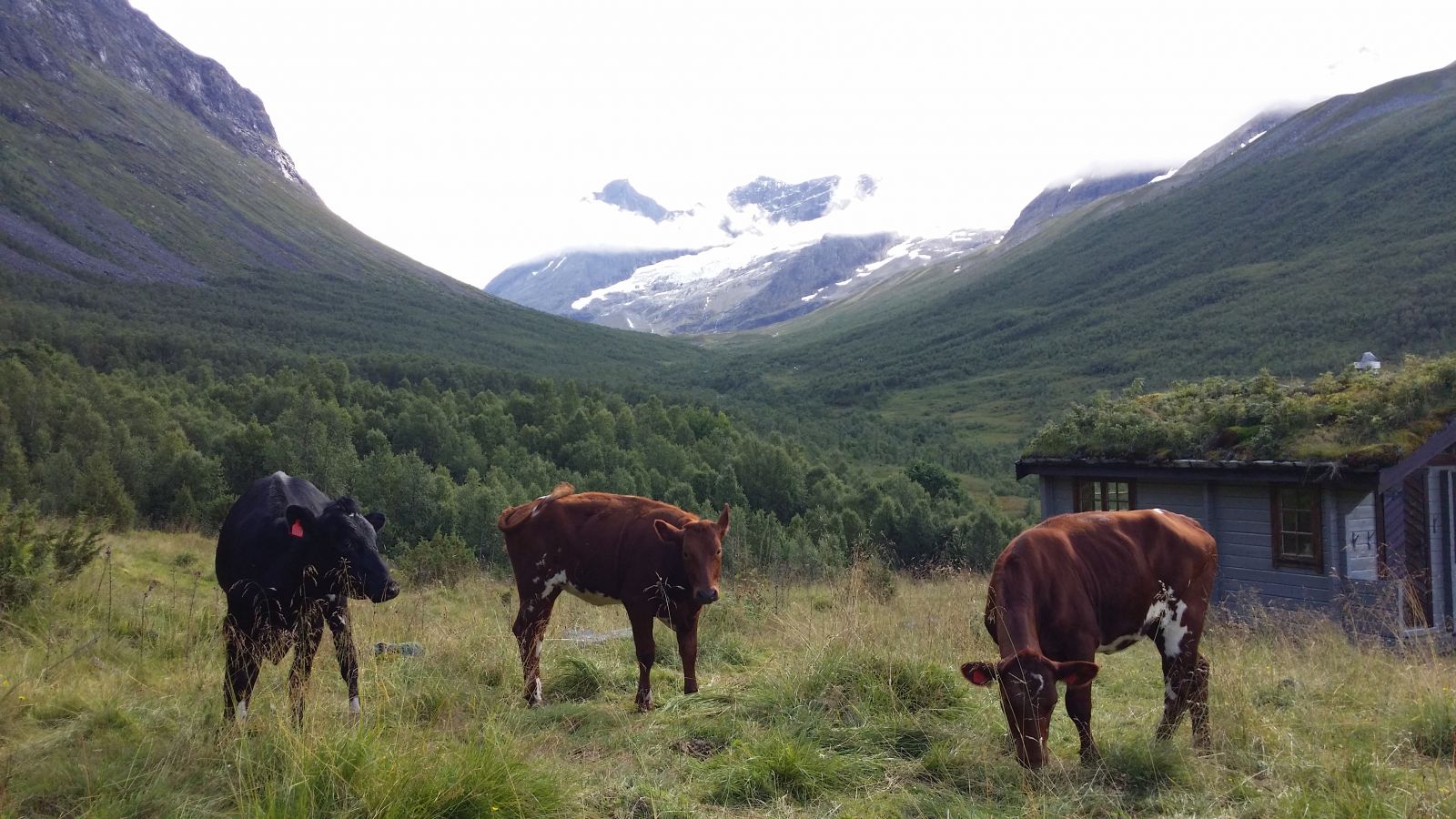
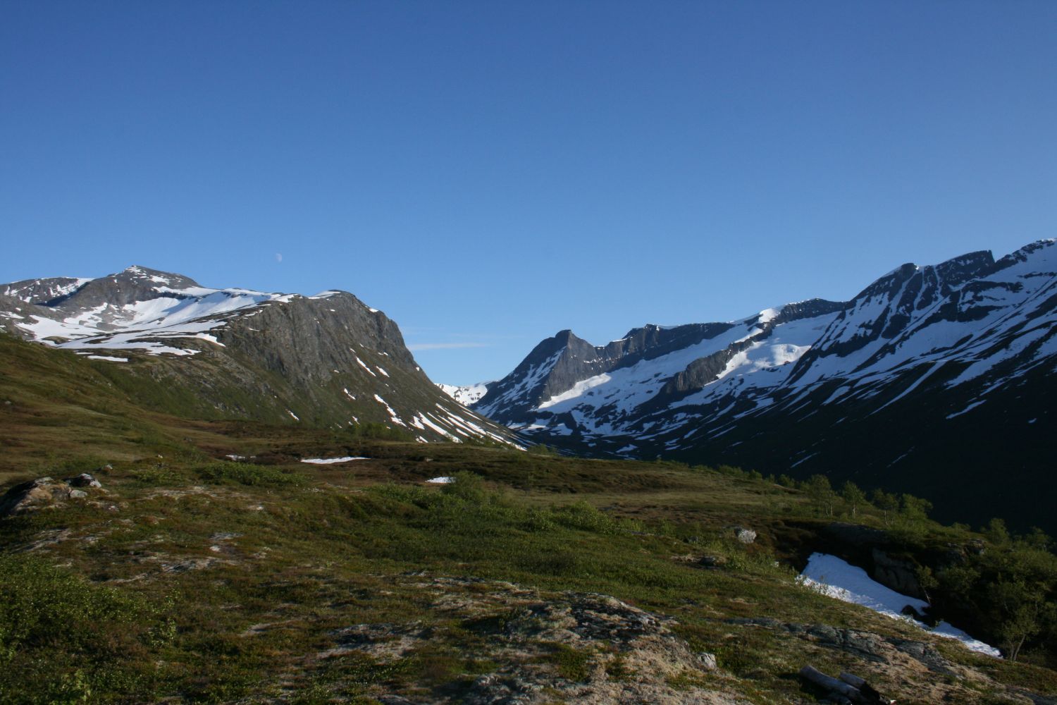
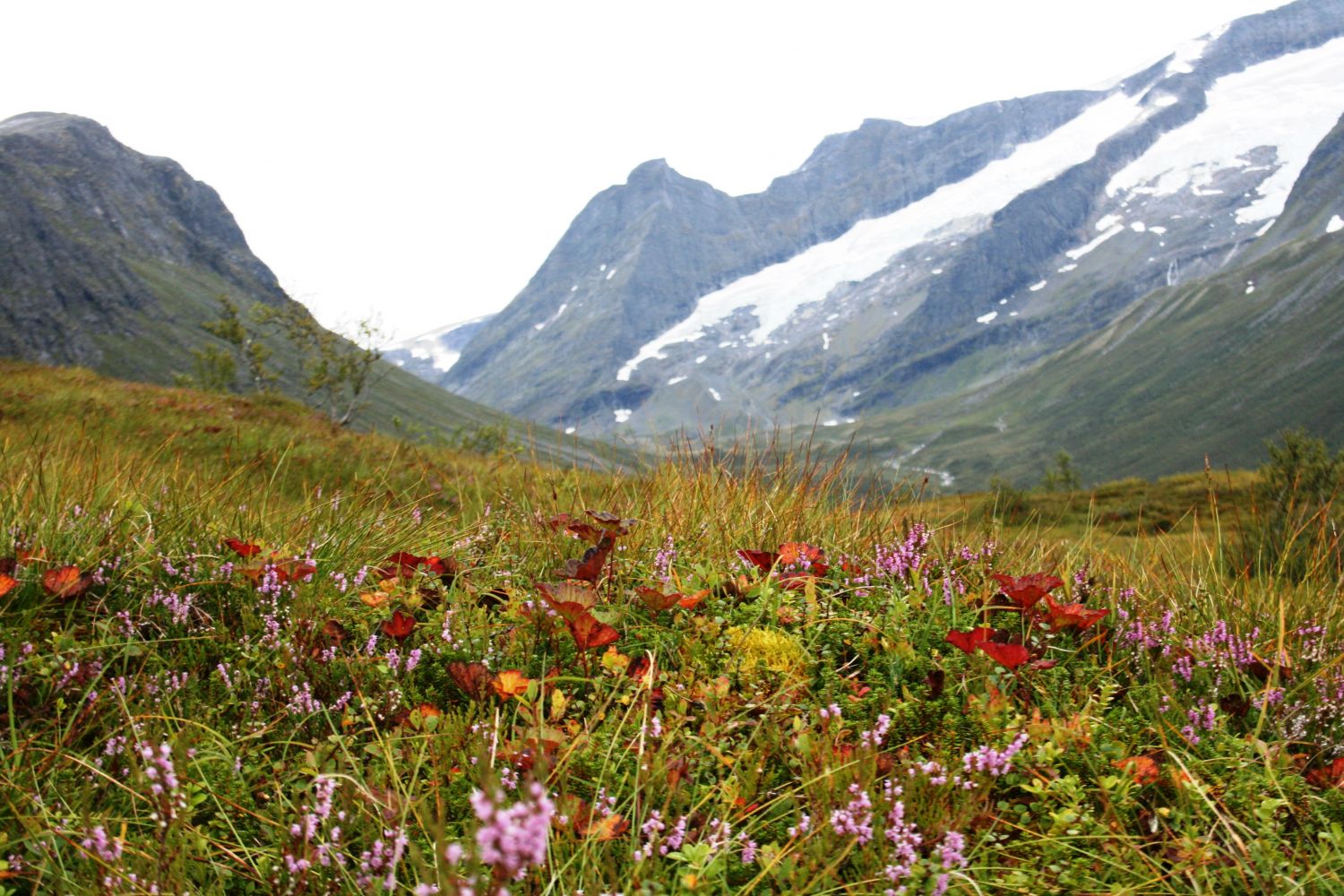
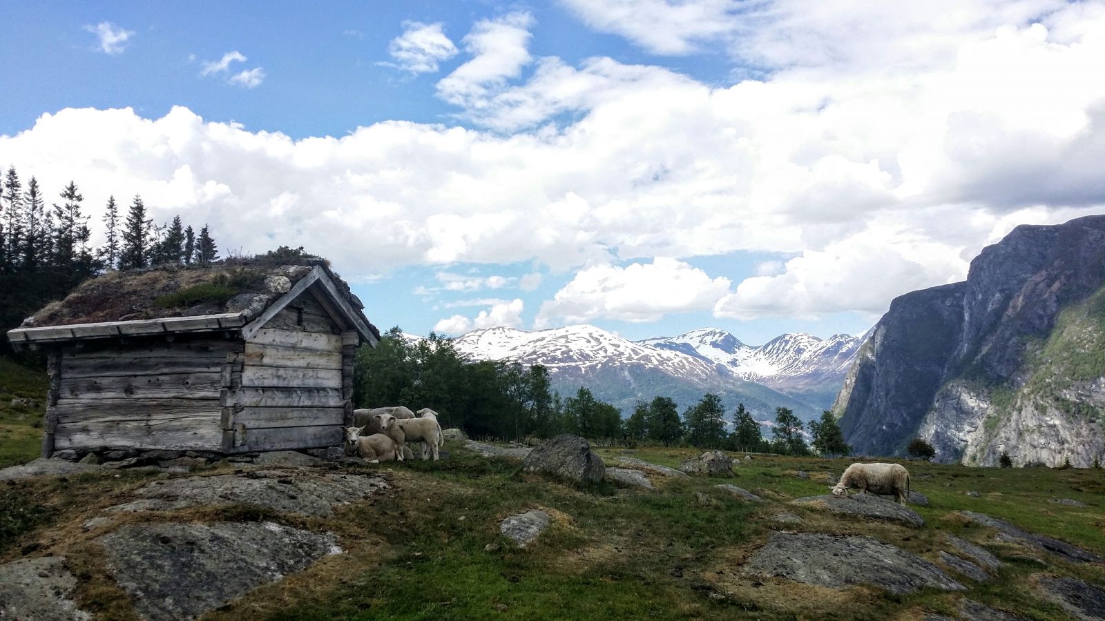
The trail from Rellingsetra to Mount Daurmåsfjellet offers a variety of terrain. You will walk through two old summer mountain farms with intact and well-maintained farmhouses. You will get to enjoy a great view of the Dyrdalen valley throughout the entire trail, and the mountains around you are the highest ones in Norddal municipality. Once you are at the top of Daurmålsfjellet, you will get a fantastic view of the Norddal village, Norddalsfjorden and the mountains around you. This is a great hiking opportunity for any time of the year. If you continue walking from Daurmålsfjellet, you will get to Mount Torvløysa, the highest mountain in Norddal municipality reaching up to 1851 m a.s.l.

Route description

Start walking from the car park in Rellingsetra, 570 m a.s.l. To get there, you need to pay for driving on a private toll road that starts in Hatlestad, 3 km further northwest. Begin by walking right across the Rellingsetra farm where you will pass several farmhouses before you start following a path that leads straight into Dyrdalen. The path goes through moderate terrain with some rocky patches. It can be slightly wet along the way, since the path crosses several small streams that flow out of the bog higher up the hillside. The path will get drier as you walk further. After about 1 km, turn left onto a bridge over the Dyrdalselva river. Follow the path for about 250 meteras it climbs slightly uphill until you reach Innsetsetra, 600 m a.s.l. You will walk past a farmhouse and a barn before you find the sign pointing to Mount Daurmålsfjellet by the uppermost house on the farm. Turn right and follow the marked path as it climbs up through the terrain that gradually gets steeper. The path goes through the forest here, and it can be slippery here sometimes. The area opens up as the path swings to the north again. You will walk through a beautiful birch forest all the way up until you are above the tree line. There is a large marsh there. You will see a sign pointing left towards the viewing point on Mount Daurmålsfjellet at 805 metres above sea level. Walk past some marshes until you get a view of the Norddal village.You will find the trail postbox on a crag that serves as a viewing point. Follow the same way back.

Access and parking

The trail starts from the car park next to Rellingsetra. You can drive your car here if you have paid the toll fee at the car park in Hatlestad. You can also choose to walk from Hatlestad for about 3 km following a clear gravel road. From the centre of Eidsdal / ferry terminal, drive along the county road in the direction of northeast towards Norddal for 5 km. As you drive through the village, take the turn up near the shop and drive for about 2 km before crossing the bridge in Engeseth. Keep driving straight ahead following the asphalt road all the way up to the car park in Hatlestad for about 4 km. You will drive past several farms on your way. You will find an information board with the map of the area at the car park.

There are a few parking spaces in Rellingsetra. You can get there by a toll road. There is a large car park in Hatlestad near the boom gate, where the toll road begins.
Hiking route
Blue
Distance
3 km one way
Elevation
294 m
Duration
2 t. 10 min.
Sesong
Spring, Summer, Autumn
Highest Point
803 masl
Signage
Both signed and marked

Map route

Surface type Distance
Sti 2,5

Other

The trail is well described in the trail book “Opptur Geirangerfjorden” (“Climbing the Geiranger Fjord”). The summer mountain farm Rellingsetra, where this trail starts, is also a starting point for many other great trails, for example to Mount Middagshesten and Mount Skorene in the west, the Dyrdalen valley and Lake Storvatnet in the south, and Mount Torvløysa in the south/southeast. The uphill running event 1851 OppNed Norddal is organised here in September. Mount Daurmålsfjellet is one of the destinations of this race. Click here to learn more: http://norddalil.no/

Map

Tafjord tourist map, 1:50.000, Norddal municipality tourist map 1:50.000
Driving directions

API endpoints

Route data GeoJSON