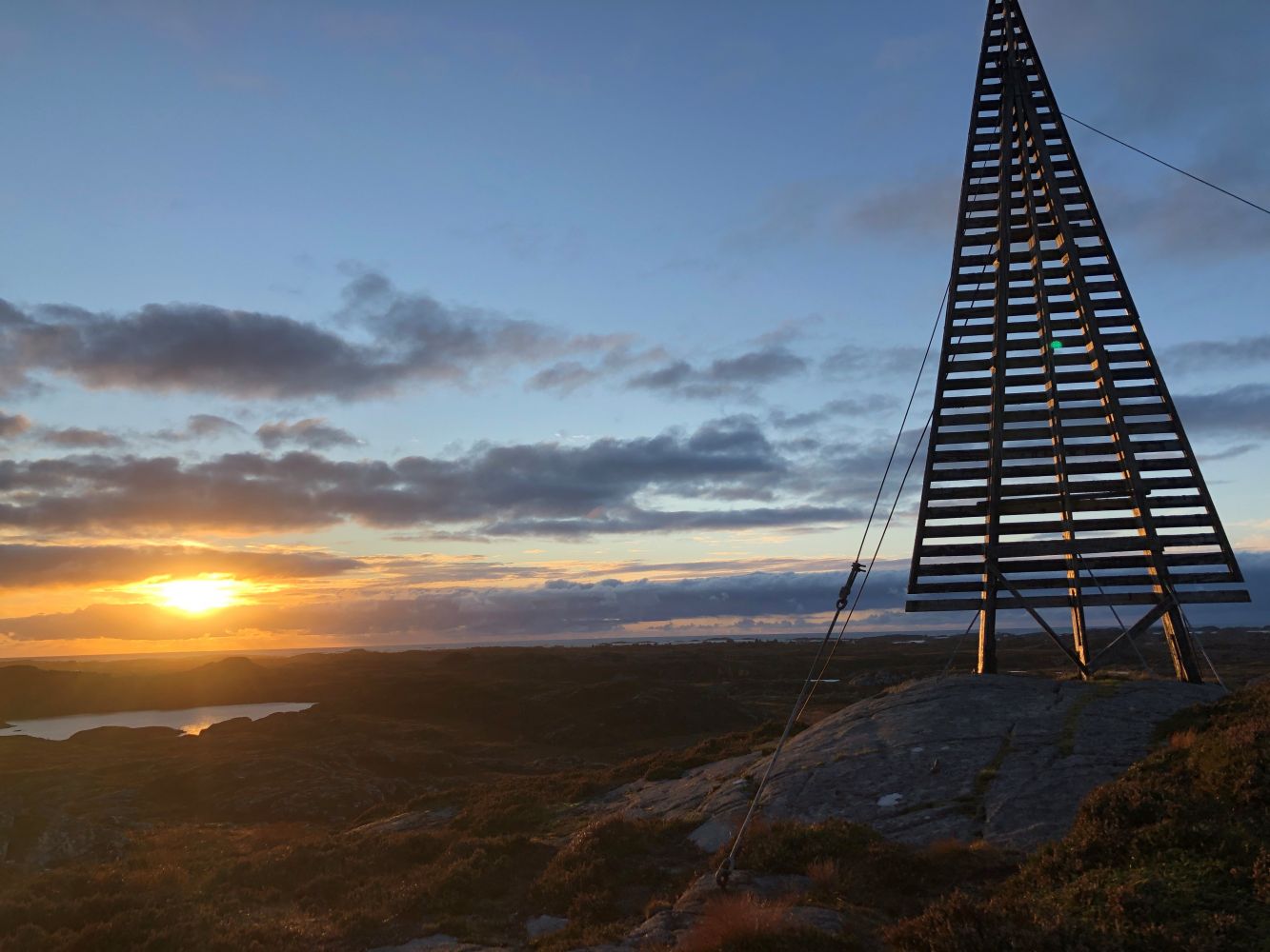
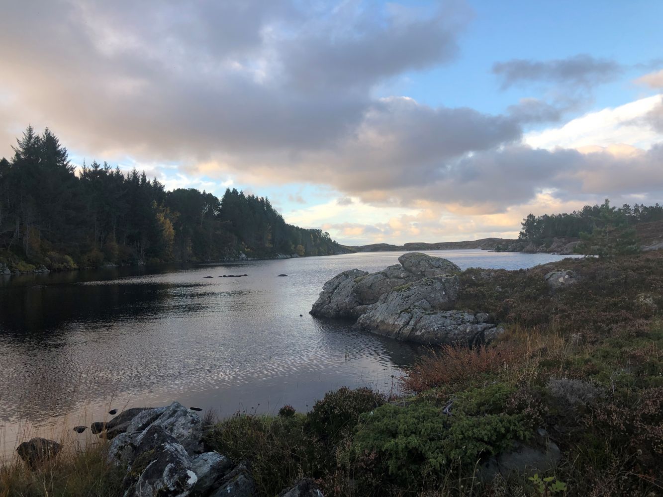
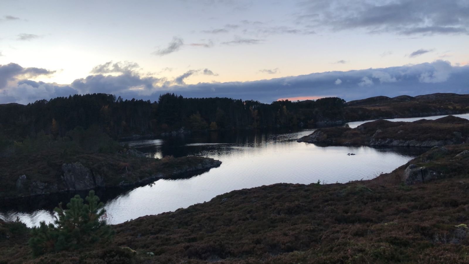
Daudmannshaugen is a really beautiful trail destination. You will be able to see largest parts of the south of Smøla from here. Take a walk in the evening as the sun is setting down to get an unforgettable experience. The colours you will see on the horizon will absolutely capture your imagination.You will have a landmark in front of you the entire way up. It is a navigation mark that has been used by seamen for many years. Once you reach the trail destination, you can enjoy the great view as well as register your trail. Then you can take a stroll back home. This makes for a satisfying hiking experience.
Route description
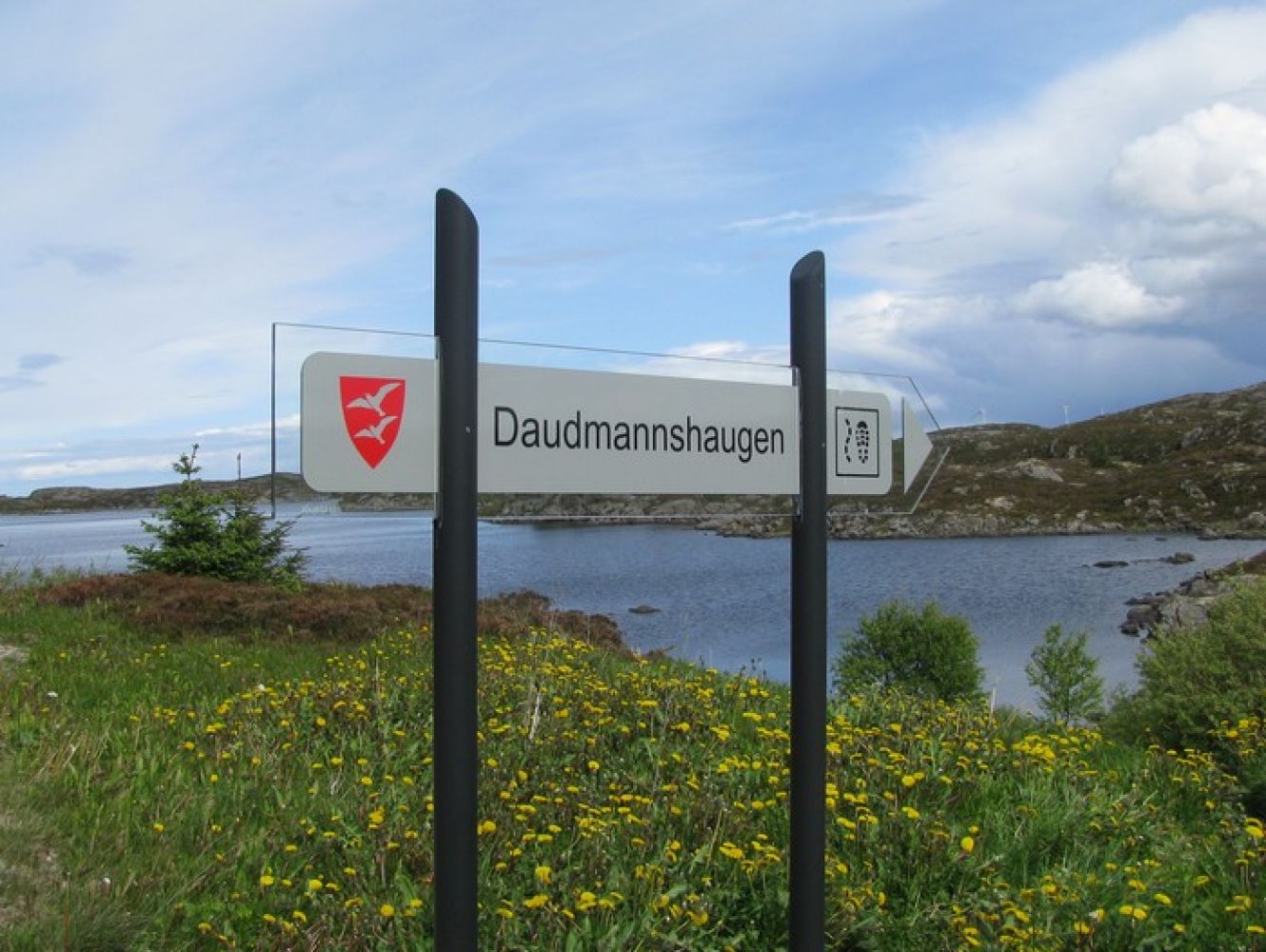
The sign to Daumannshaugen is placed by the county road. A gravel road will take you down to the water plant. You will find the path on the backside of the water plant building. The terrain is hilly, but it is okay to walk through. The trail covers primarily rocky surface. South Smøla Village Association has made it possible to walk here even when the water level in Lake Gjeldbergsvatnet is high. If you have time, you can take a 20–30-minute walk up there. If you walk a bit faster, the way up will take you about 15–20 minutes.
Arrival and parking
You can get to the island of Smøla/Edøya by express boat or ferry. From the ferry terminal, follow County Road 669 for about 8 km until you reach a junction. Take the turn to the left in the direction of Dyrnes. After about 16 km you will come to a junction leading down to Gjeldberget. Drive along the county road for about 100 m more and you will see the sign pointing to the trail to Daumannshaugen. Follow the gravel road down to the water plant and park your car there. The path starts on the backside of the water plant building.

 Driving directions
 Route data