Brudevika – Lisje-Krokhornet – Route 5
Vanylven
This is a scenic hike along a well-kept path, which was used by the milkmen who went up the mountain to milk the cows once or twice a day. You will get an amazing view quite quickly as you follow the trail.
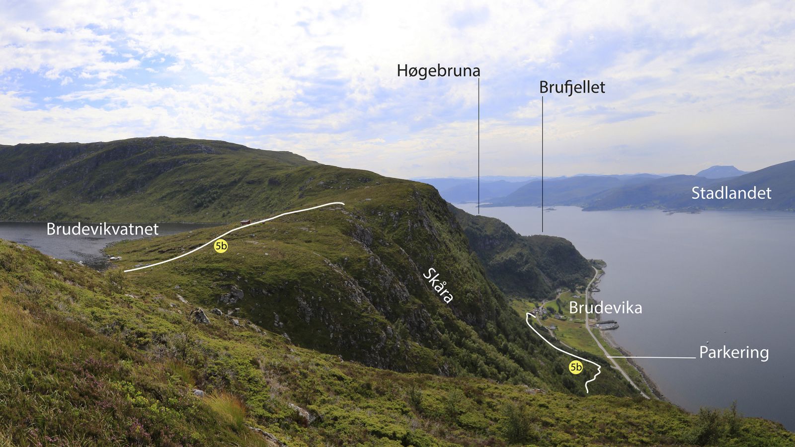
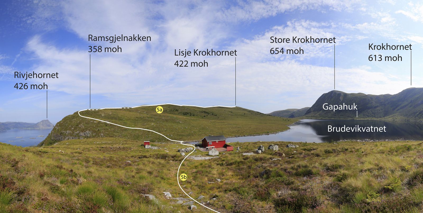
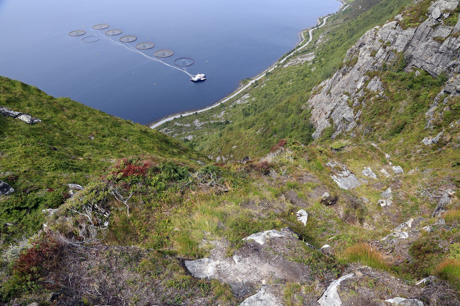
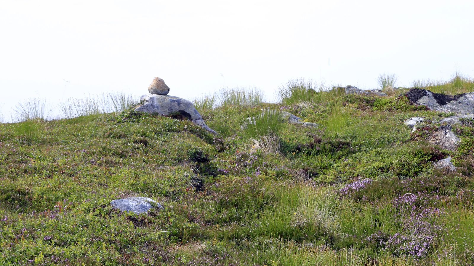
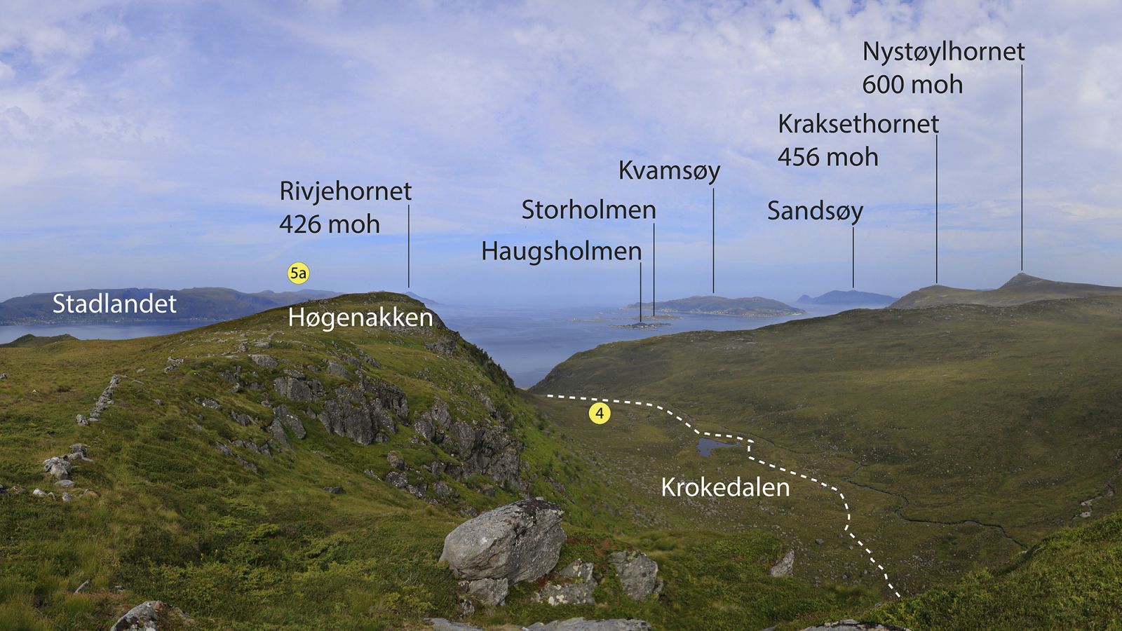
After a short gentle section, the trail goes steeply up Skåra to Lake Brudevikvatnet. If you do not want to stop there, you can continue to Lisje Krokhornet with a scenic view of the Stadlandet Peninsula, the ocean, and the islands in Sande Municipality. The ascent up Skåra is quite steep, so this route might not be ideal for people with a fear of heights. Despite being steep, the trail is easy to walk because of both man-made and natural steps. If you prefer a steep ascent to a steep descent, you can walk via Krokedalen on your way down. In that case, you will end up by the county road in Krokvika, 4 km from Brudevika. Park your car down by the county road at the northernmost junction in Brudevika. Walk for 50 metres to the nearest junction and follow the asphalt side road all the way to a red-painted barn, which is the first house on the upper side of the road. The path starts above the barn. Walk over relatively flat terrain for the first 750 metres. The area has been actively used over a long period of time, which you can see in the terrain. From there, continue steeply up Skåra. The final 200 altitude metres have an elevation of 42 degrees, but because the path climbs up in small hairpin turns, the effective elevation is around 35 degrees on average. The path is clearly defined all the way up to Lake Brudevikvatnet. The section of the path from Brudevikvatnet to Lisje Krokhornet is less clearly defined. Here, you may want to look for small stones that lie on top of larger stones, marking the route.
It is easy to park your car at the exit road just south of the northernmost junction in Brudevika.
Duration
4 t. 25 min.

Sesong
Spring, Summer, Autumn
| Surface type |
Distance |
| Sti |
6,5 |
Vanylven hiking map can be purchased at local shops and petrol stations in Vanylven Municipality.
 Driving directions
 Route data
GeoJSON