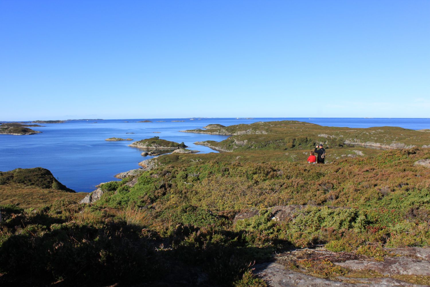
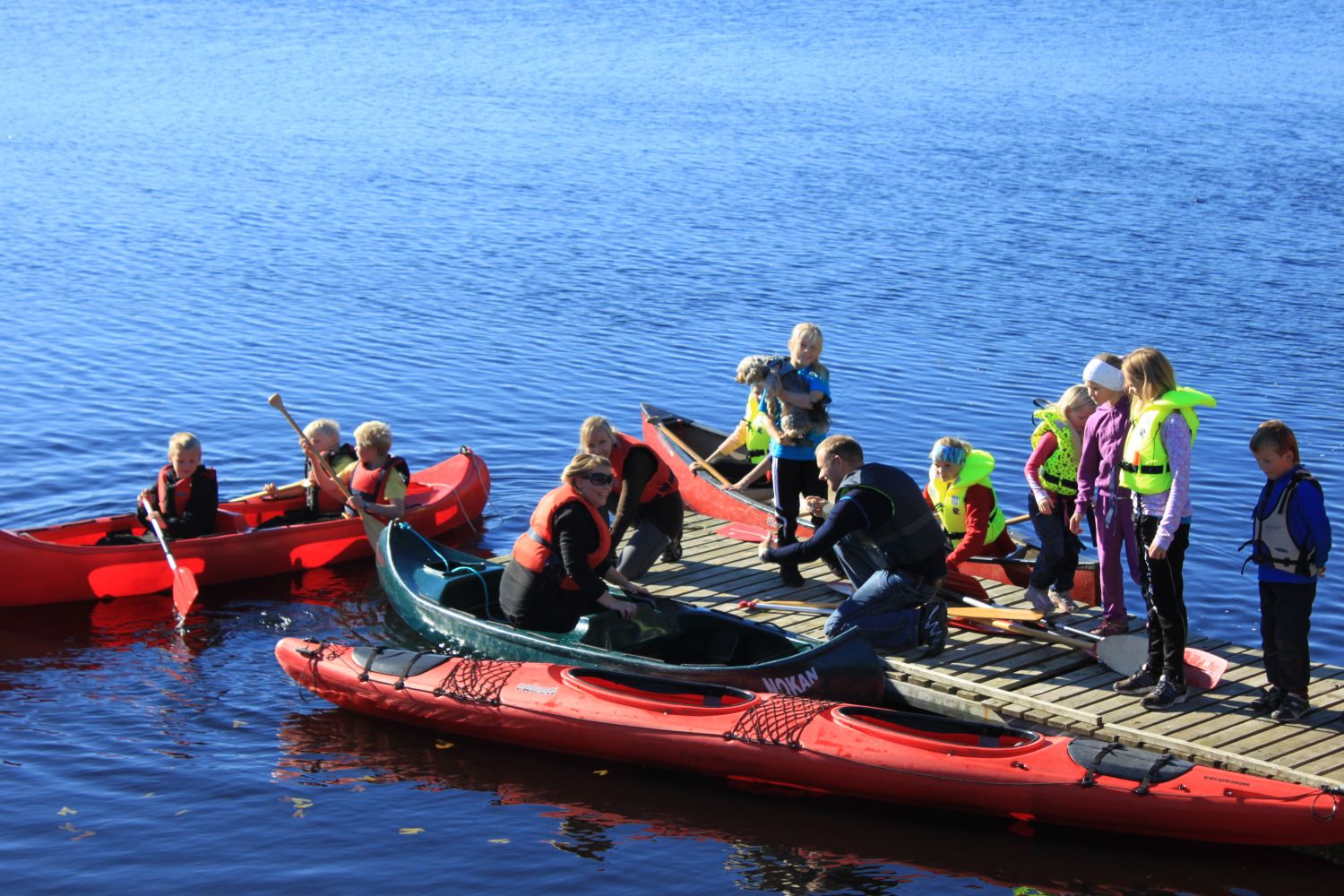
The route to Brenslen is a pleasant trail that can be accessed year-round. Great view of the ocean along the entire trail. There is a lean-to and canoes by Smågevatnet, the largest lake in Aukra municipality, that can be borrowed free of charge.
Route description
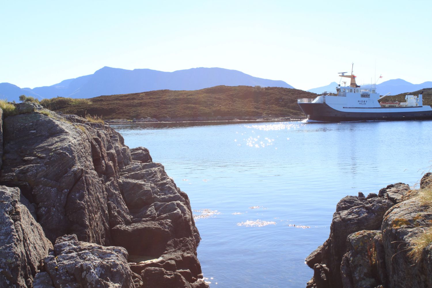
Ferry from Hollingsholmen (route 31). Or possibly the ferry from Ona-Finnøya - Sandøya-Orta-Småge. Follow the sign to Røssøyvågen and Småge. Option 1: Start at the parking area by Smågevatnet lake. Turn left at the information board and follow the trail to the highest point on the route. Option 2: Park at the Småge ferry quay and start the route from there. The trail starts to the right of the bus shelter by the parking area. Follow the trail along the water to Brenslen. Great sea views along the entire route.
Access and parking
Start at the parking area by Smågevatnet. You can also start by the ferry quay at Småge. Alternative 1: At the parking area by Smågevatnet. No parking fee (route length 0.7 km). Alternative 2: At the parking area by Småge ferry quay. No parking fee (route length 1.7 km).
Hiking route
Green
Distance
0,75 km one way
Elevation
45 m
Duration
25 min.
Sesong
Winter, Spring, Summer, Autumn
Highest Point
20 masl
Signage
Signed
Map route
Surface type
Distance
Sti
1,4
Public transport
Ferry route 31 Hollingsholmen- Aukra and bus. See Framm.no for schedules.
Other
The area by Smågevatnet lake is protected as a nature reserve. The area is protected as part of the wetlands protection plan for Møre og Romsdal. There is also a state-protected public recreation area, where sheep graze throughout the year.

 Driving directions
 Route data