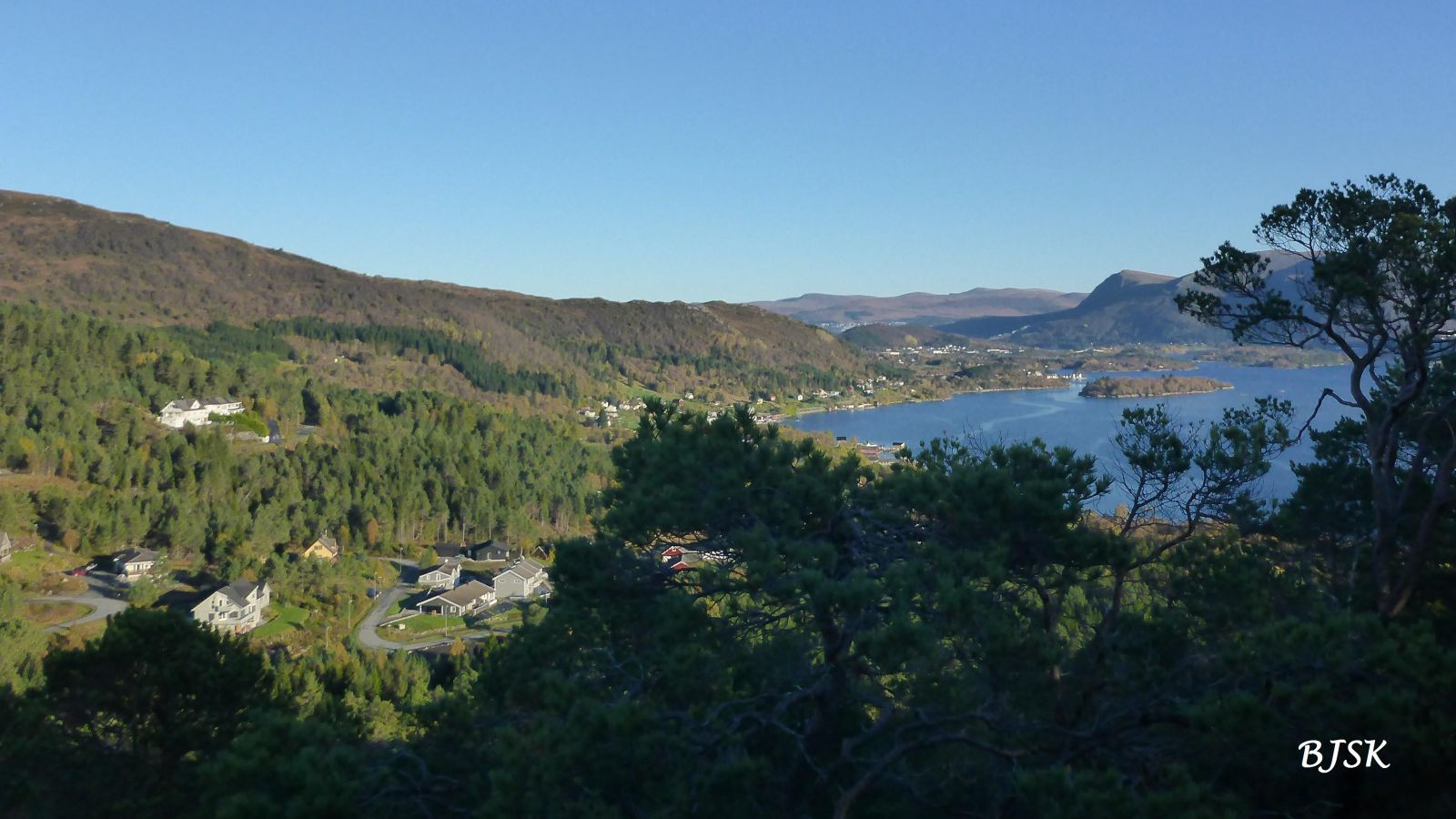
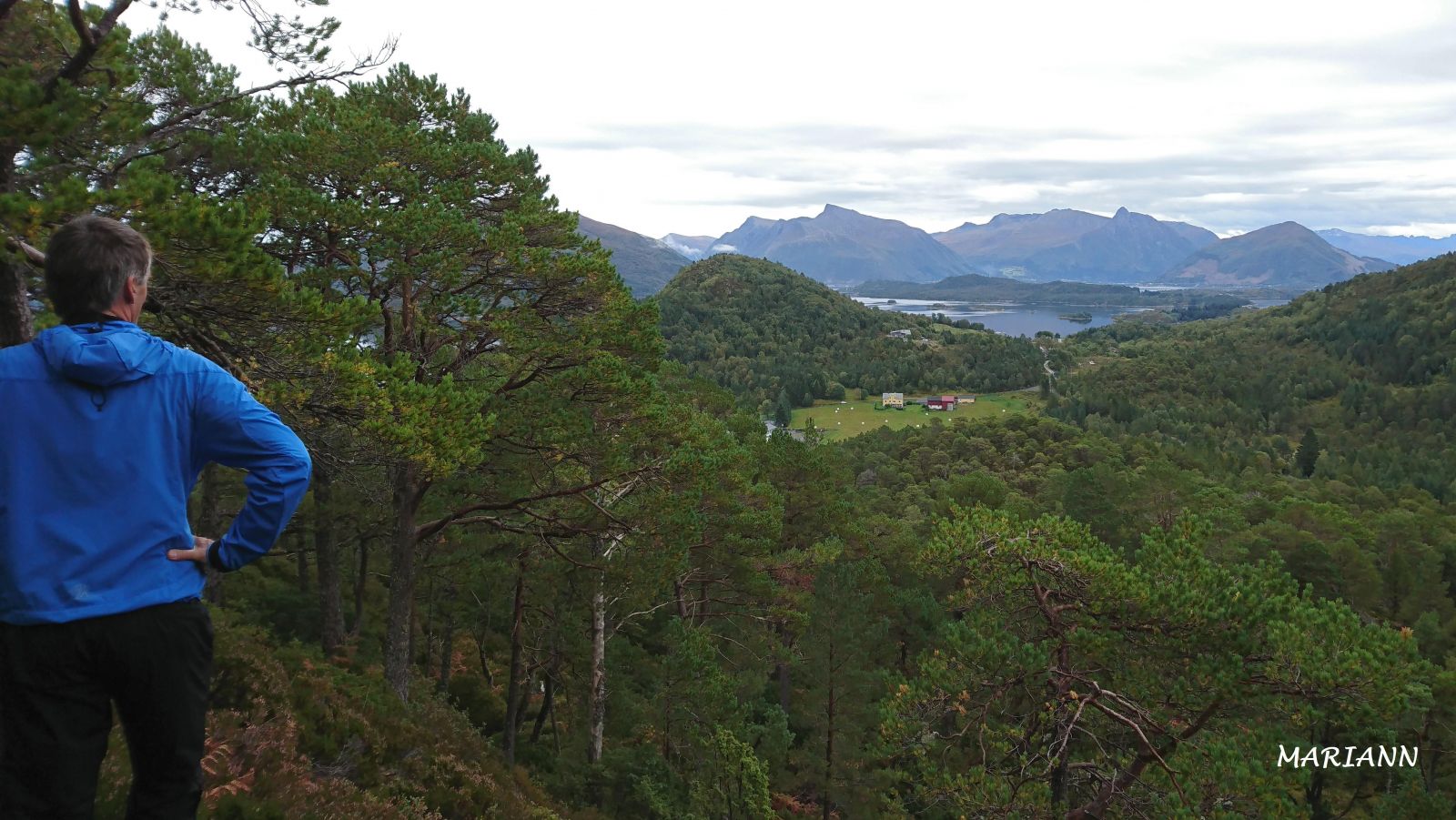
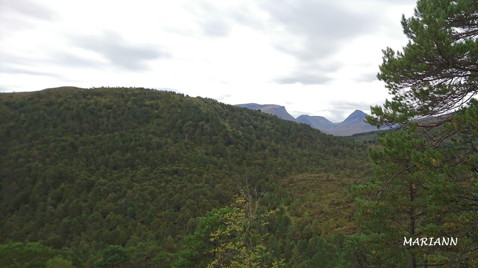
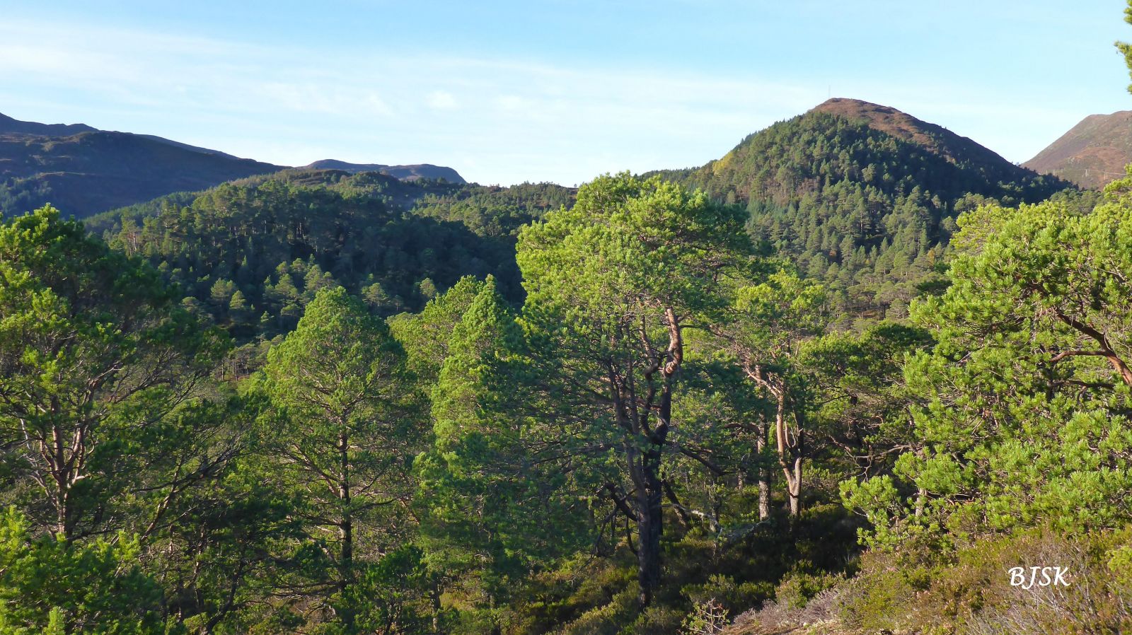
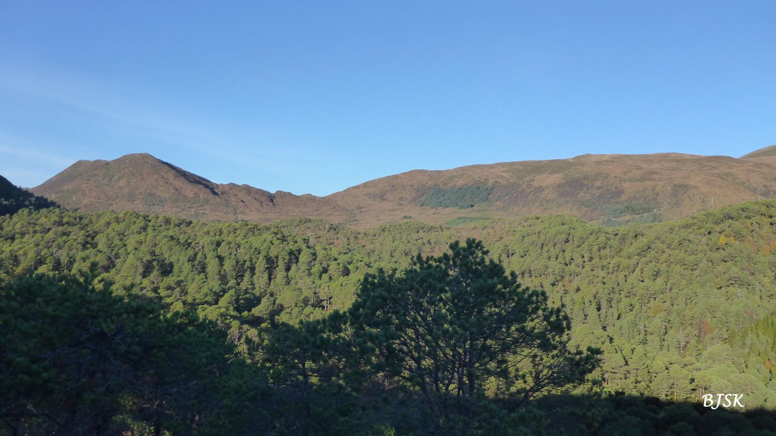
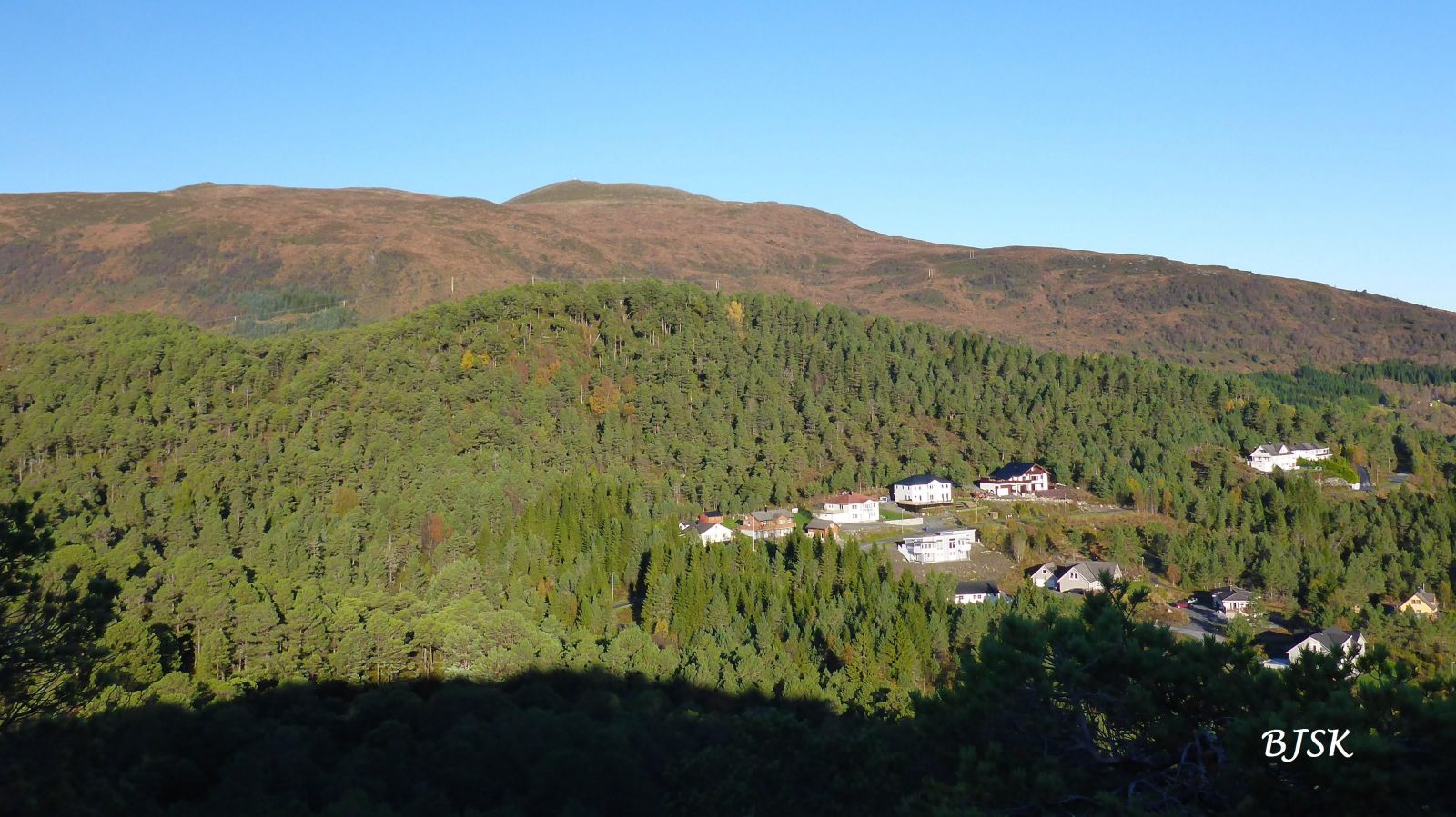
Brendeåsen is a small wooden hill which, despite its modest height, offers a nice view of the surrounding area. The Gurskøy Sports Association (Gurskøy IL) set up a postbox with a trail journal on the hilltop.
The hike starts from the car park in Kleppefurene. Walk west along the forest road for about 350 m. Follow the path on the right side of the road as it runs northeast through the forest until you reach the hilltop.
Turn off County Road 61 (FV61) at the junction east of Leikong Church (you will see a sign for Voldnes). Drive along Jøsokvegen for about 1.3 km, turn right, continue for about 600 m, and turn right at the junction after the school/community centre. Follow the forest road for about 600 m until you reach the car park in Kleppefurene. Park your car there.
Duration
30 min.

Sesong
Spring, Summer, Autumn
| Surface type |
Distance |
| Grus |
0,35 |
| Sti |
0,2 |
Hiking map of Ytre Søre Sunnmøre, M711 1119 II, norgeskart.no
 Driving directions
 Route data
GeoJSON