Brattebakkjen, Syltedalen
Vanylven
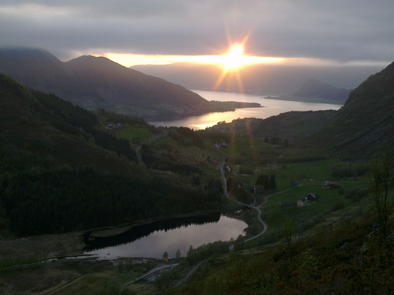
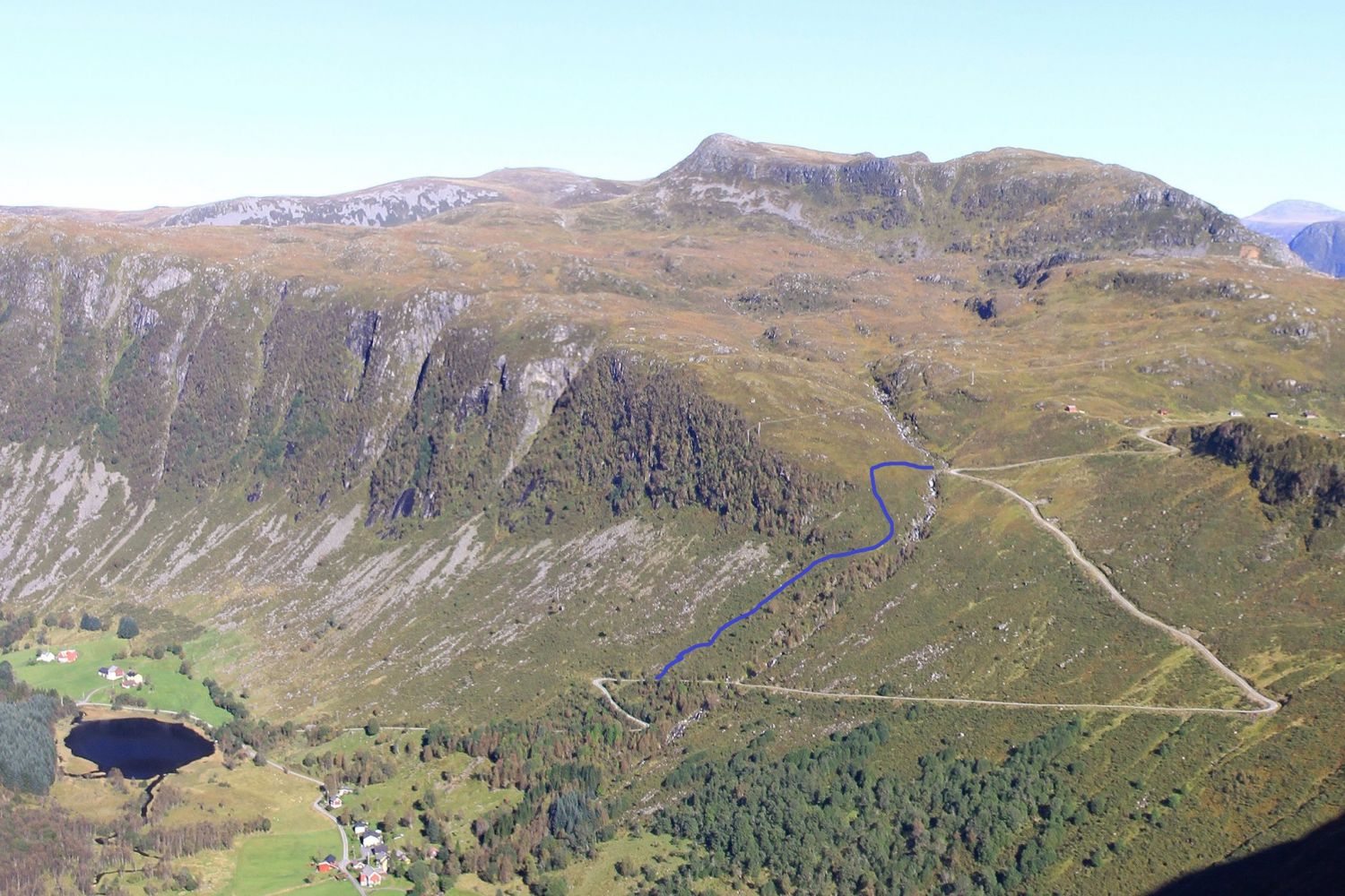
Brattebakkjen is the old mountain path from the Støylen farm in Syltedalen to Kilebrekka, and thus part of the cultural heritage of the region. The trail is a steep climb straight up the mountain from Kilebrekkvegen Road until you reach a flat area at the top. The path is cleared after being covered in juniper and heather for many years and offers a beautiful view of the Syltedalen Valley and the Syltefjord. Milk carriers used to walk this path to and from the farm several times a day in summer. You can see that since the old times, the path has been well trodden and extensively used.
Follow Kilebrekkvegen for a little while and turn off that road after the second turn if you walk from Syltedalen. A sign on the left side of the road marks the place where you should turn off the road. The lower part of the old path from Støylen still exists, but the middle part was destroyed when Kilebrekkvegen Road was constructed. Park your car by Lake Støylsvatnet. Once you reach Støylshylla, you can continue along the marked path towards Furenakken or wade the Støylselva River by walking over the stones and go down Kilebrekkvegen. You can also take a walk all the way to Kilebrekka. If you choose to walk from Kilebrekka or Elvasvingen, go straight ahead until you reach Støylshylla where you will meet the clear path. The path is steep but solid under foot. On the steepest sections, you will have to hold on to something in front of you. Most people will find that the trail is perfect for exercise or an evening walk.
The starting point of this trail is either Lake Støylsvatnet in the Syltedalen Valley or Kilebrekka by Elvasvingen where there is a marked path to Furenakken.
This can be a circular trail if you go up/down from Kilebrekkvegen.

 Driving directions
 Route data