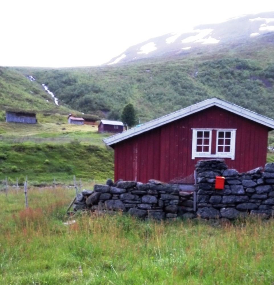
Botnastølen (Stavdalsstølen)
Fjord
The idyllic summer mountain farm Stavdalsstølen lies on the right side on the Stavåna river. Another farm called Jasvollstølen is on the other side of the river. These farms are a wonderful hiking destination for families with children. During low water periods it is possible to cross the river between the two farms. There is also a suspension bridge (without security) down by the farms. Another option is to walk further into Jasvollbotn. Please see a separate description of this trail.
The starting point of the trail is the gravel-surfaced forest road on the left side of the county road. Turn off to the left onto a well-marked path after walking for about 1.2 km. You will reach the summer mountain farm after about 2.5 km.
Drive along County Road 650 to Mo and turn off in the direction of Overøye. Drive for about 3 km past Stavdal and park your car on the right side of the road.
Duration
2 t. 15 min.

Signage
Both signed and marked
| Surface type |
Distance |
| Grus |
1,2 |
| Sti |
3 |
Ørskogfjellet tourist map
 Driving directions
 Route data
GeoJSON