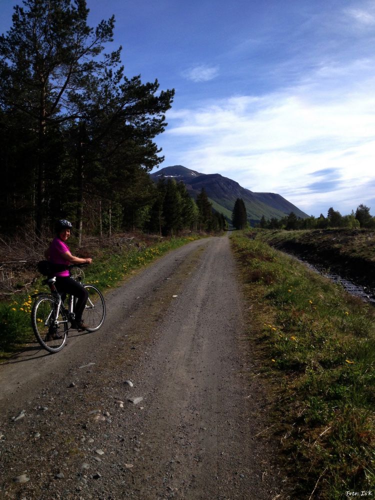
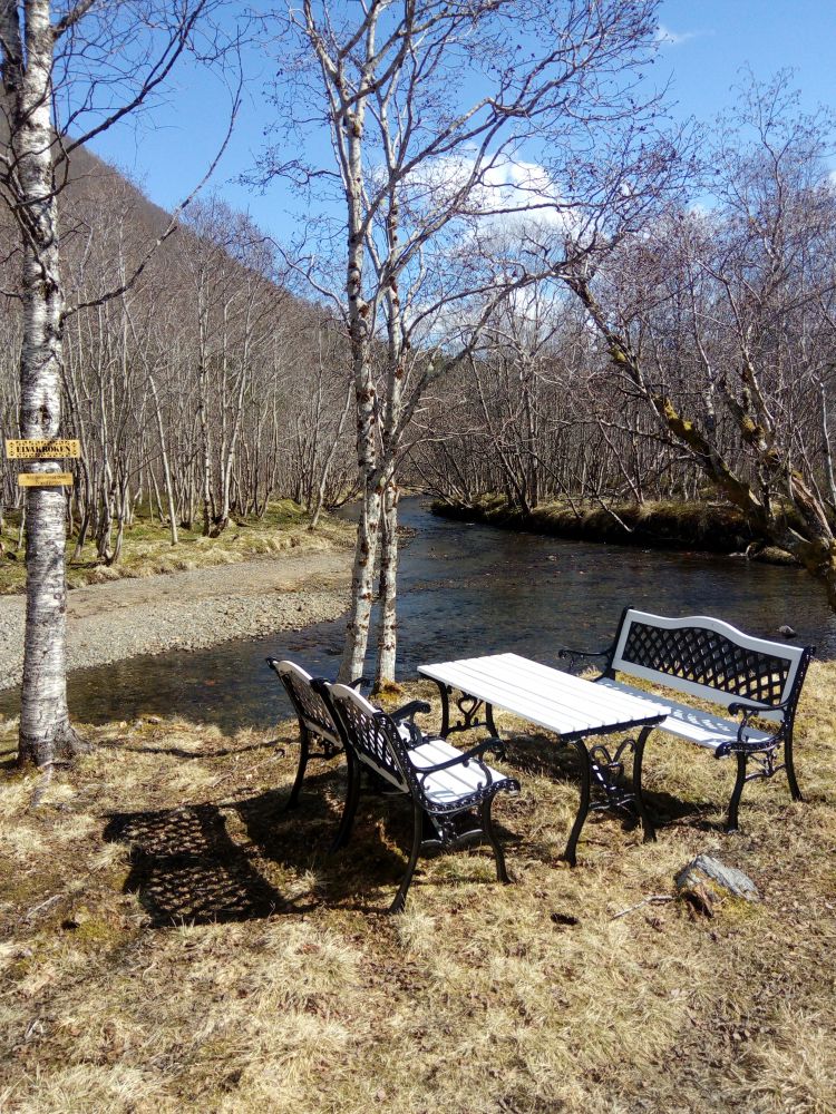
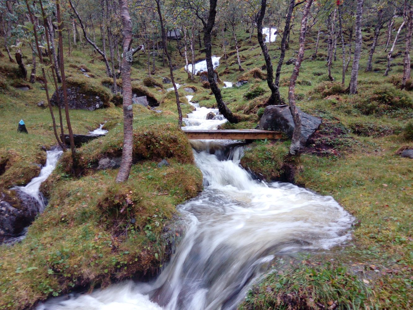
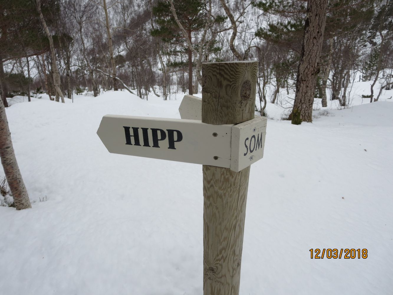
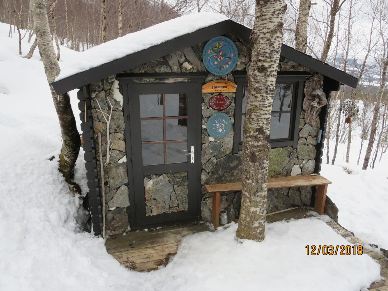
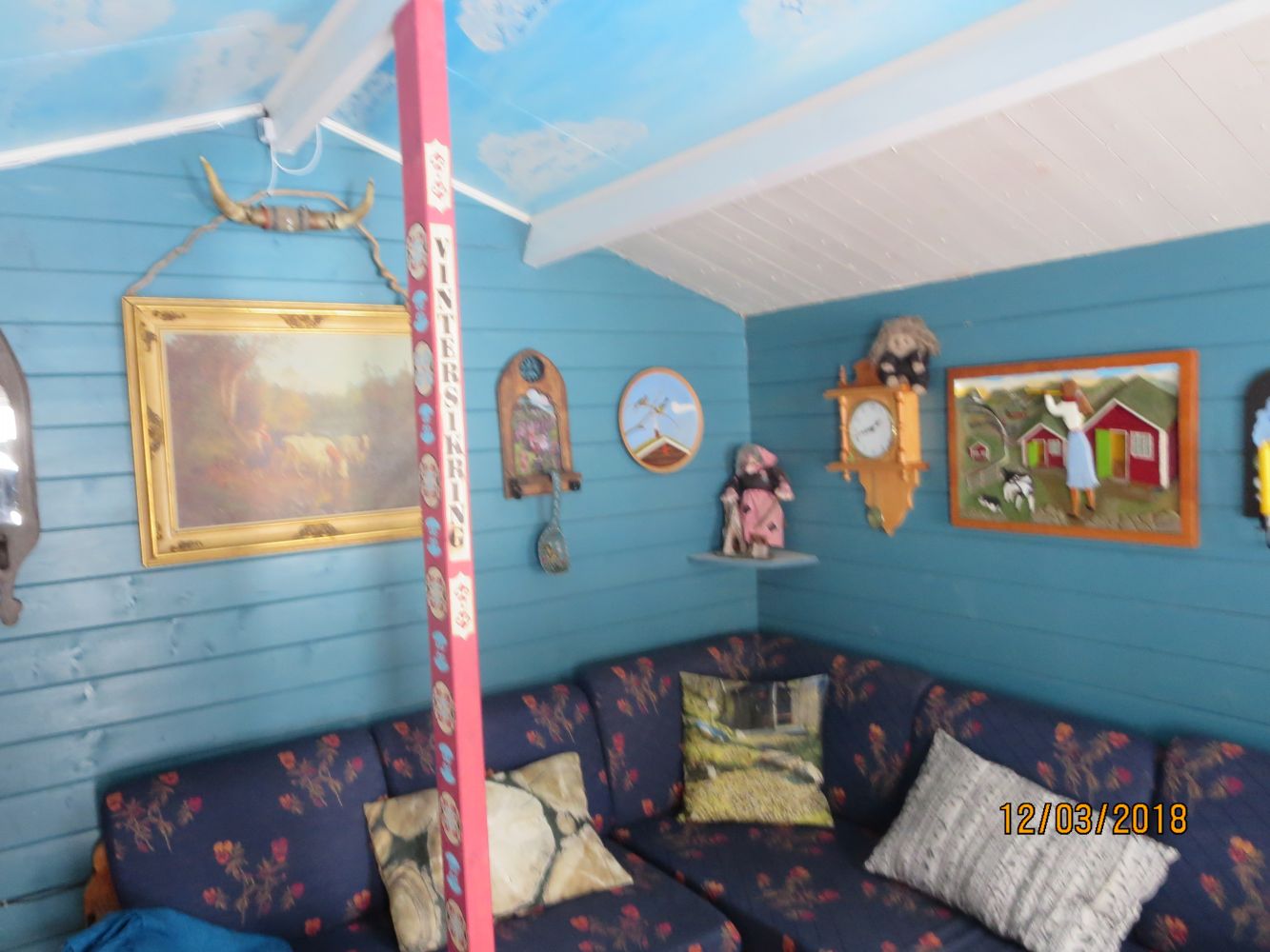
This is an easy family trail along a nice gravel road and a tractor road that will take you into the Børresdalen valley and to Myrbostadsetra mountain summer farms. You can simply cycle or walk inwards following the road until you reach the farm. About 50 metres before you reach the cabins in Børresdalen, you will see a sign for Børresbu. From here, walk for about 700 metres following the path all the way up to the Børresbu cabin. You will find the Stikk UT postbox here, near the Børresbu cabin.Enjoy this nice family walk from the Børresdalen valley up to Børresbu, an amusing mini-cabin where everybody is welcome. You will find several funny signposts and nice rest areas along the way; “Krølltolla”, “Hipp som Happ”, “Vannleik”, “Badekulp”, “Kilden”, and a number of surprises. The last ones will be along the path past the cabin in the direction of Sleppskaret. Frode, who has arranged all of this, seems to be a very creative person with a great sense of humour, and the cabin is very special indeed. The trail with the “green” level of difficulty goes to Børresbu. The “blue” trail continues further to Sleppskaret, if you would like to take a walk there as well.
The trail follows a good forest road which then changes into a tractor road with a couple of ascents. From the sign in Myrbostadsetra up to the Børresbu cabin you will be following a good path across the terrain.
Børresbu is the endpoint of this trail. The endpoint / arrow on the map is not positioned absolutely precisely, but the actual endpoint will be very close to the specified area.
Turn off National Road 663 in Myrbostad (between Elnesvågen and Malmefjorden) and drive up the Varholvegen road towards the Doosan company (previously called Moxy). Turn left just before Doosan.
You will see a prohibition sign (you are NOT allowed to drive further in!) and this is where you can park your car. We are planning to put a sign saying “Turparkering” to mark the available trail car park. We might be able to arrange several car parks in the area. In that case they will all be signposted.
AT WEEKENDS (Saturdays and Sundays), if this is really necessary, you can park your car at the Doosan company's turnoff and the trailer parking area, but make sure not to block the gates / boom gate in case of emergency!
You can park your car in Varholen. The area here is marked with signs for trail car park.
(NB! It is not allowed to drive further onto the gravel road, only the landowners have this permission).

 Driving directions
 Route data