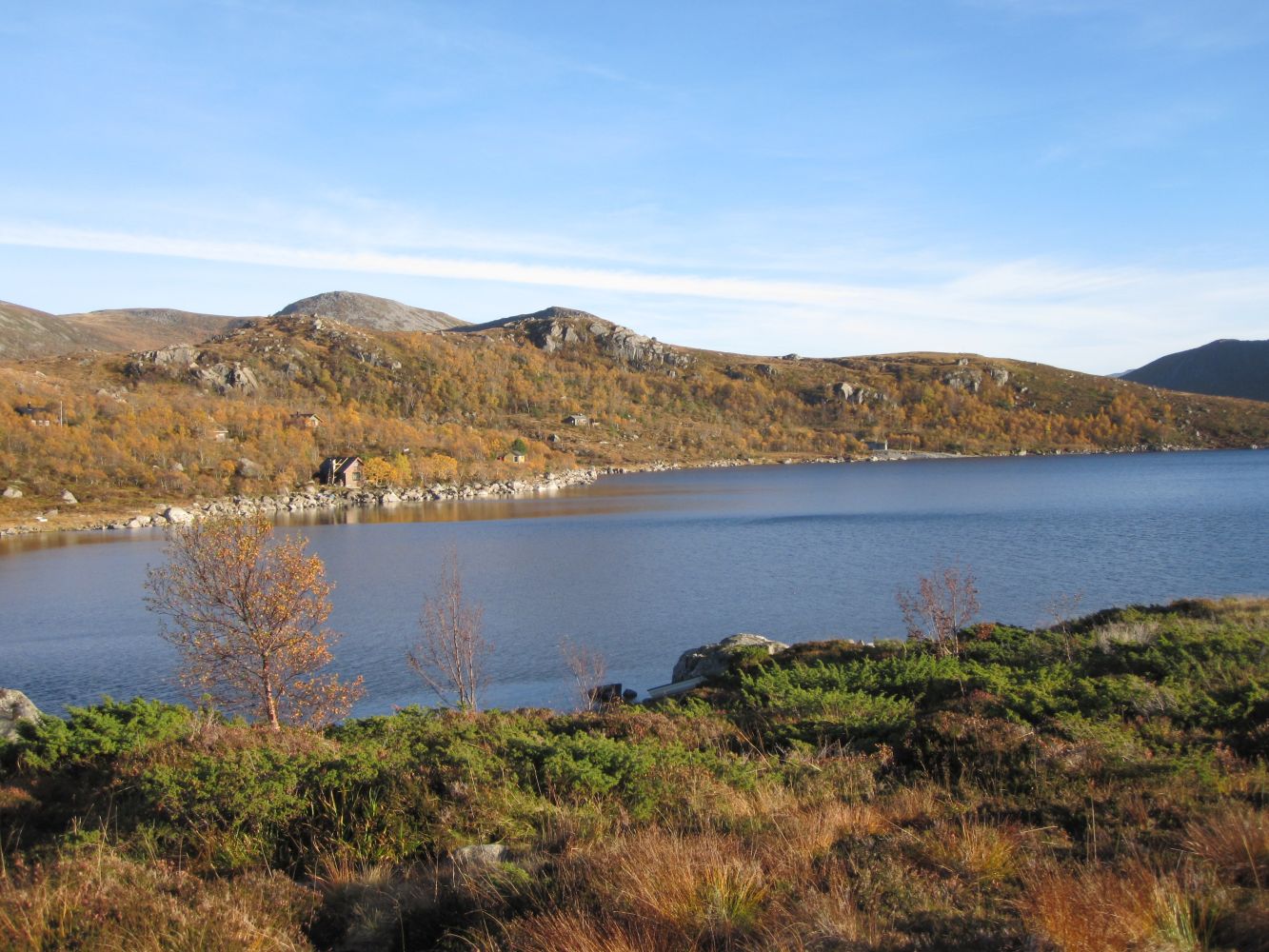
The trail starts at the car park by the dam on the northern side of Lake Børevatnet. This is a loop trail, so you can move in both directions.
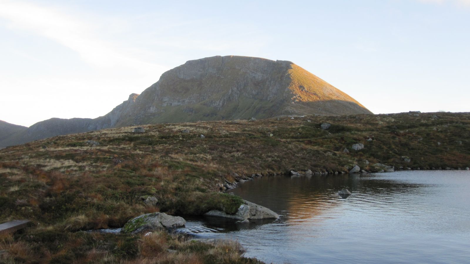
Start by walking west. Walk over the dam and follow the old temporary road for about 1.4 km. Turn off to the left of the road and follow the path with blue waymarks. You will see a sign that reads “Rundtur 1” (Eng. Loop Trail 1) which shows where the path starts. Walk along the path and through undeveloped terrain until you reach Lake Støylsvatnet. This is where the climb begins, and it could be useful to fill up your water bottle here.
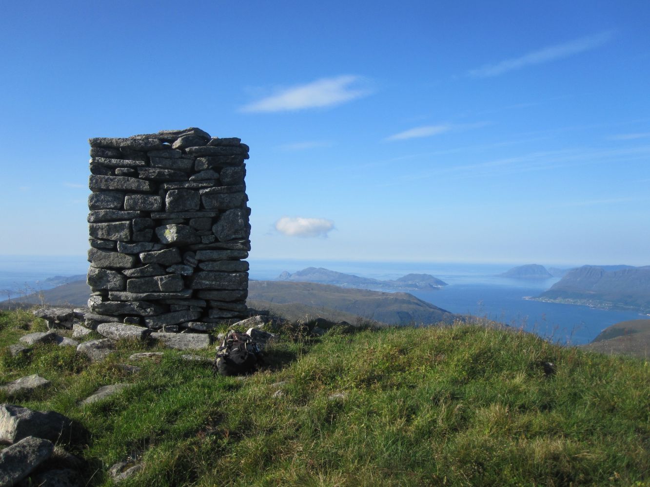
After the initial section with a good-quality path, you will reach the steepest section of the trail. The surface here is heath, grass, and scree. You might need to use your hands for support at times. Climb up a steep slope for 200–300 m before it flattens out as you start approaching the top.
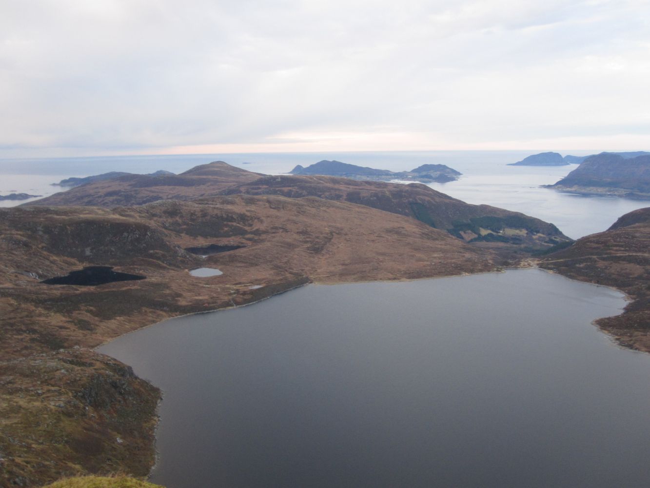
Follow the good-quality path from the top down the mountain gap Kvannskaret until you are down by Lake Kvanndalsvatnet. The path runs past Trollryggen before you reach the upper car park by Lake Børevatnet. Just follow the road back to the starting point.If you start by walking east, be careful when walking from the top down to Støylsvatnet. Grassy sections can be slippery.

 Driving directions
 Route data