Norsk

Blæjevatnet – Route 53

Vanylven

The trail at a glance

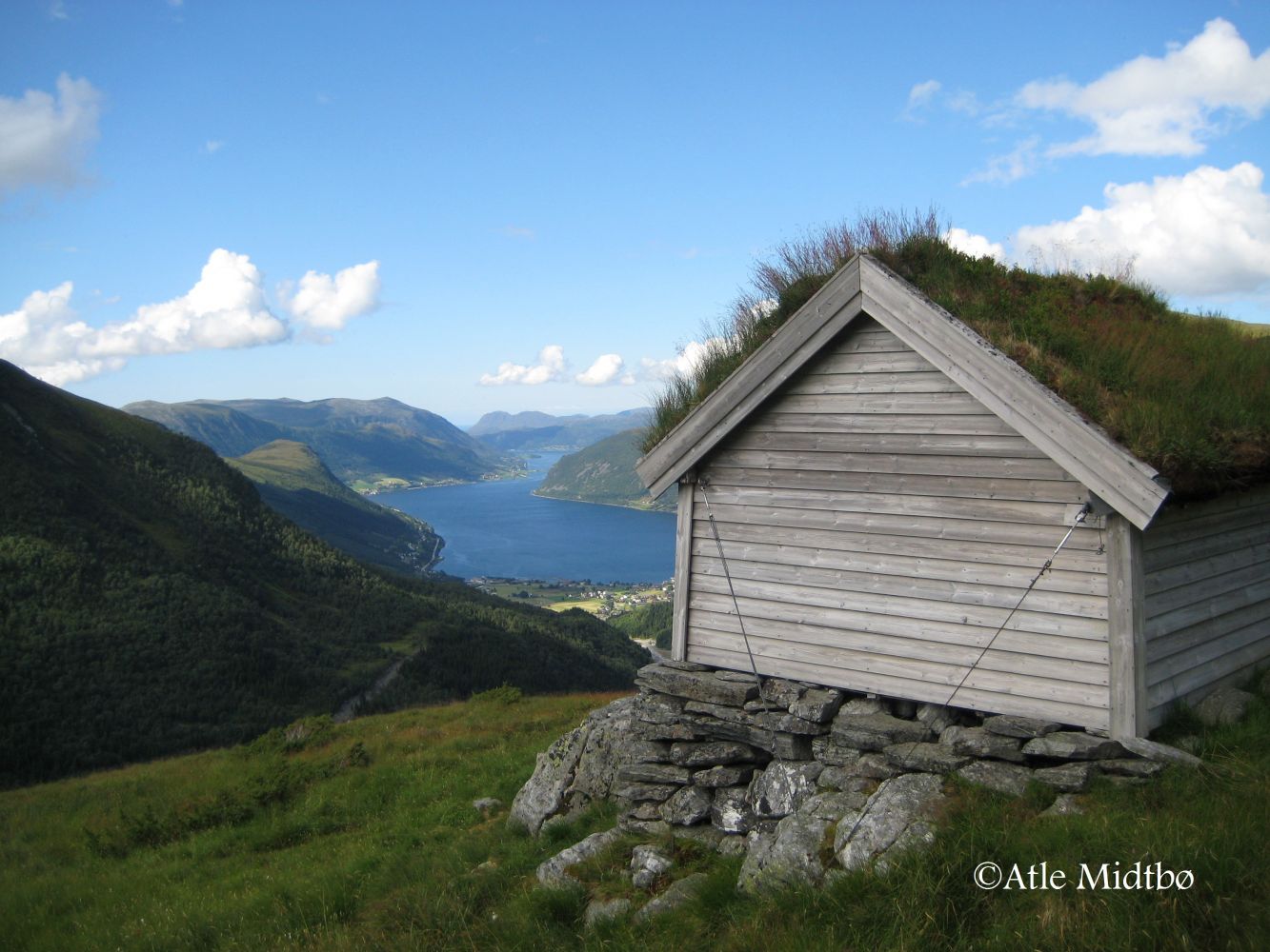
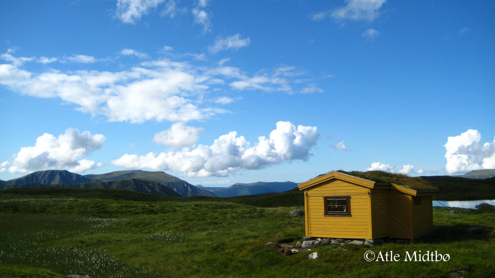
The distance from Røfsdalsætra to Lake Blæjevatnet is relatively short, and the route is perfect for an afternoon or evening walk. Blæjevatnet is surrounded by the highest mountains in Vanylven. The Blæjevassbu cabin by the lake is open to everyone. It was built in 1970 and later extended. The cabin is now owned by Myklebust Sameige (Myklebust Joint Ownership). http://www.syvdeil.no/index.php?option=com_content&view=article&id=105&Itemid=120 Many visitors to Blæjevatnet try fishing in the lake. You can stay overnight in the cabin and rent a boat from Myklebust Sameige. The size of fish tends to be quite large. Blæjevassbu is a starting point for several other great hikes of varying levels of difficulty.

Route description

Begin by walking from the car park in Røfsdalsætra and follow the signs for Blæjevatnet. The well-defined path begins on a slope above the cabins. It is marked with blue paint on stones and sticks. Cross a small river, which may become broad after a heavy rain. As you walk further, the path will climb fairly steeply, and you will ascend quite fast. The steepest section of the trail ends at the Tåbrothytta cabin. From here, the path will take you over some areas of bare rock before it flattens out as you start walking into the heathland toward the Blæjevassbu cabin.

Access and parking

Drive from the centre of Syvde in the direction of Sørdal. When the county road takes the right turn in Smedbøen, continue driving straight ahead between some residential houses. Once you have passed the houses, you will see a large stone on the right side of the road with a box attached to it. This is Myklebust Sameige’s toll collection point. The Røfsdalen Valley is a good starting point for several mountain hikes of varying length. You will find a car park in Røfsdalsætra.
Hiking route
Blue
Distance
2,4 km one way
Elevation
433 m
Duration
2 t. 20 min.
Sesong
Spring, Summer, Autumn
Highest Point
702 masl
Signage
Both signed and marked

Map route

Surface type Distance
Sti 4,8

Map

Hiking map: På tur i Vanylven (Eng. Hiking in Vanylven) – can be purchased at local shops and petrol stations in Vanylven Municipality.

Payment method for toll road

Vipps NOK 30
Driving directions

API endpoints

Route data GeoJSON