Parts of the trail from Lisjerøfsdalen to Kvanndalen follow sections of other routes. For more information about the Lisjerøfsdalen – Lisjeblæja trail, please check
http://mrfylke.no/Morotur/Turer/Lisjeblaeja-1032-m.o.h.-Rute-52 and the Kvanndalen – Myrkevasstinden trail, please check
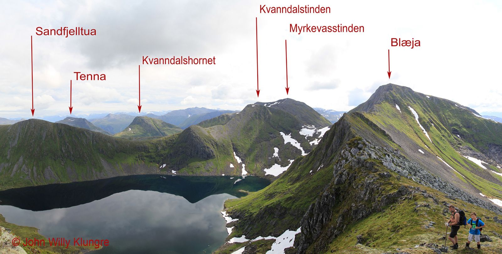
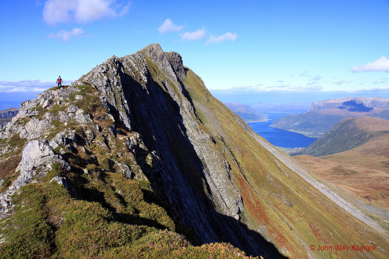
http://mrfylke.no/Morotur/Turer/Myrkevasstinden-rute-49-C-fraa-Kvanndalen-til-Myrkevasstinden The most demanding part of this trail is the ascent to and descent from Blæja. Here, there are some steep sections with several metres of relatively easy climbing. For a less steep and easier walk from the peak of Blæja to Blæjeskaret, you can follow the route marked on the hiking map “På tur i Vanylven” (Eng. “Hiking in Vanylven”). The route shown on the hiking map is less steep and easier to walk, but the area it covers might be covered in snow even during summer. The easiest and safest route to Blæja is from a mountain farm called Dansen in Dalsfjorden, Volda Municipality. To get to Dansen, drive up a very steep road from Åmelfoten in Steinsvika. For more information about this route, please see “Fotturar på Sunnmøre” (Eng. “Hiking Trails in Sunnmøre”) published by Iriss Forlag, 4th edition, page 127.
http://iriss.no/web/PageND.aspx?id=12
 Driving directions
 Route data