Blåfjellet from Brandsetra
Hustadvika
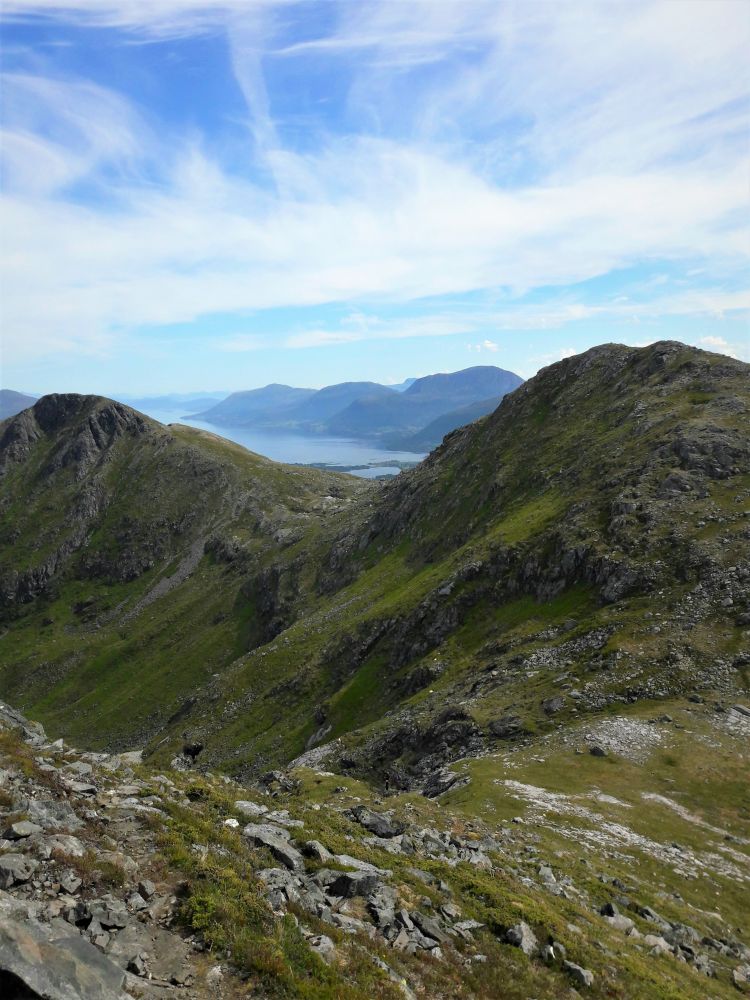
This is a nice mountain hike with a view towards Fræna and Eide. You can also continue further to the Trolltindene ridge.
Start walking from the county road and follow a forest road as it goes up for the first couple of kilometres. Once you are up in the Gunnadalen valley you will see signposts to both Blåfjellet and Snipa. Walk west following the sign for Mount Blåfjellet, 864 m a.s.l. In that case the forest path will continue uphill. The trail is not very clearly signposted, so follow the red marks very closely. Above the tree line the terrain varies from scree to heathland.
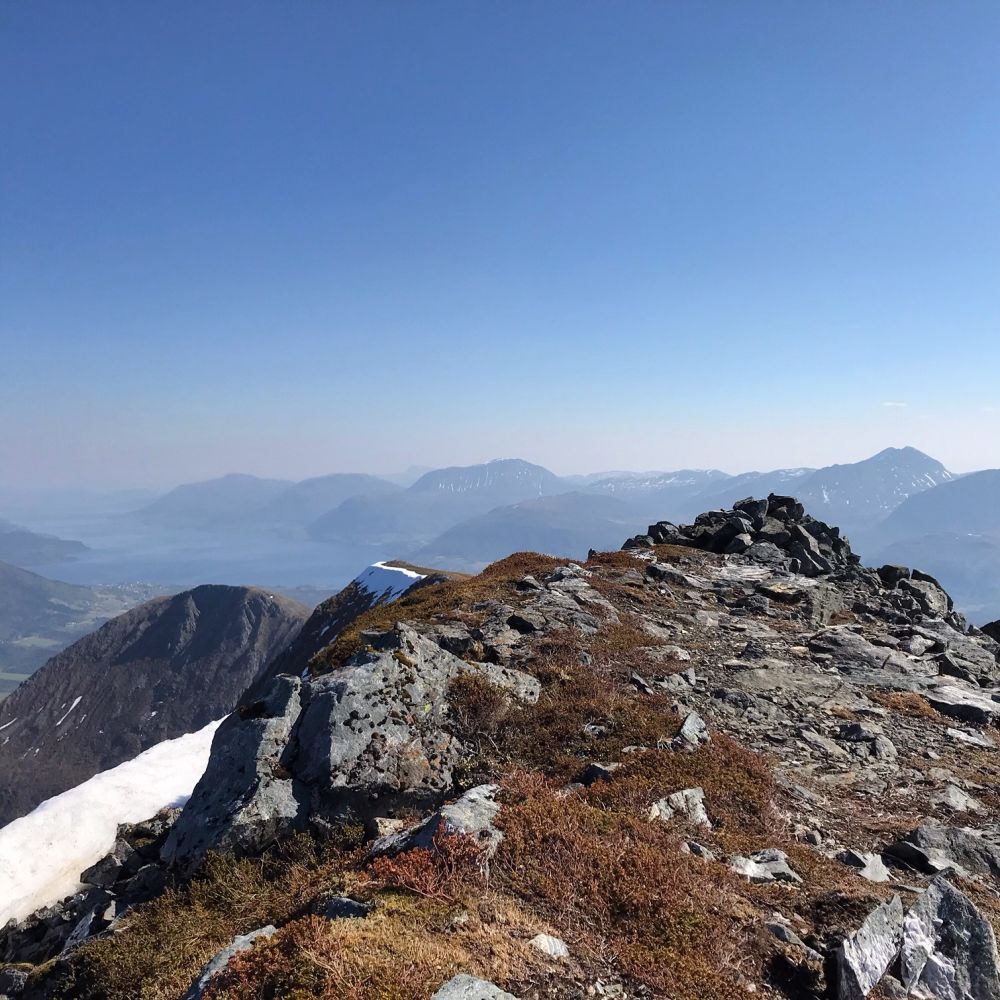
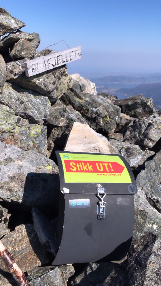
Cairn with the trail postbox at the top.
A temporary car park has been arranged next to the electrical distribution kiosk just off County Road 64 (Fv64).
Park your car next to the electrical distribution kiosk.
Distance
8,96 km both ways
Duration
4 t. 25 min.

Sesong
Spring, Summer, Autumn
Signage
Both signed and marked
| Surface type |
Distance |
| Sti |
5 |
Blåfjellet på Garmin Adventures
 Driving directions
 Route data
GeoJSON