Norsk

Right up Blåfelden, route 54

Vanylven

The trail at a glance

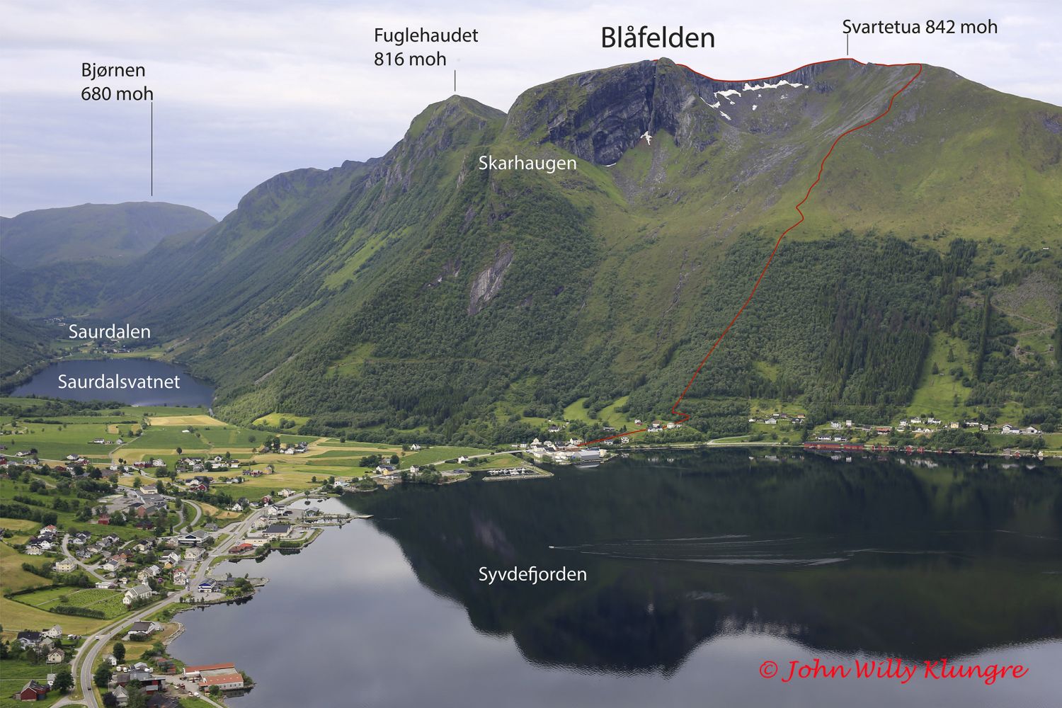
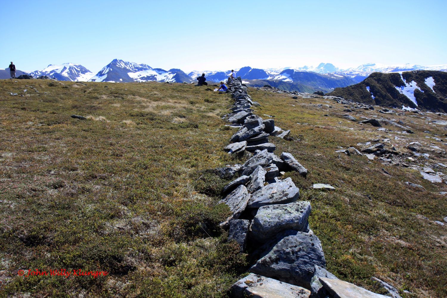
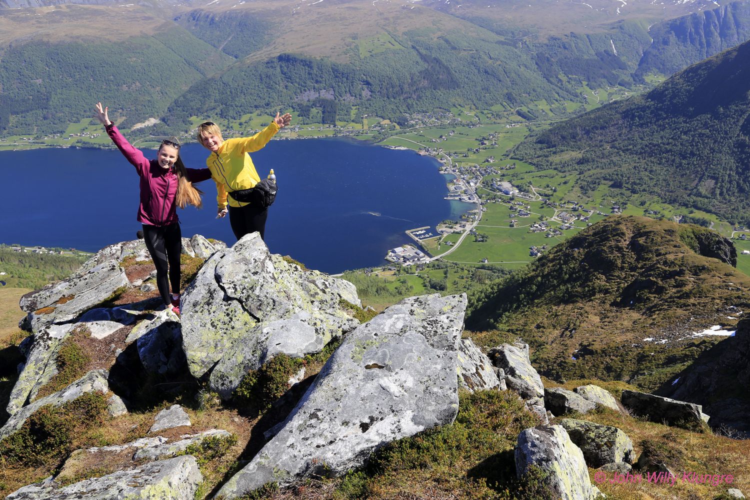
The mountain running race Blåfelden rett opp (Eng. Right up Blåfelden) is organised on the first Saturday of June every year as part of the Kosterikedagane festival in Syvde. The event usually attracts many outdoor enthusiasts. But if you would rather go hiking on your own, the trail is just as good in other times of the year. The mountain running trail starts at the upper secondary school in the centre of Syvde and follows an asphalt road for about 1 km before it continues through the terrain. If this is a normal hike, the most common starting point is the beginning of the path through the terrain. The first section of the trail is a marked moraine ridge with patches of open birch forest. Then there is a 2 km long gradual and steep ascent. After you complete this difficult section, continue walking through more gentle terrain for 1.5 km along the mountain edge and via the highest point at 842 m a.s.l. Then the area flattens out into a plateau at 810 m a.s.l. along the edge of Blåfelden with its panoramic view over Syvde. 

Route description

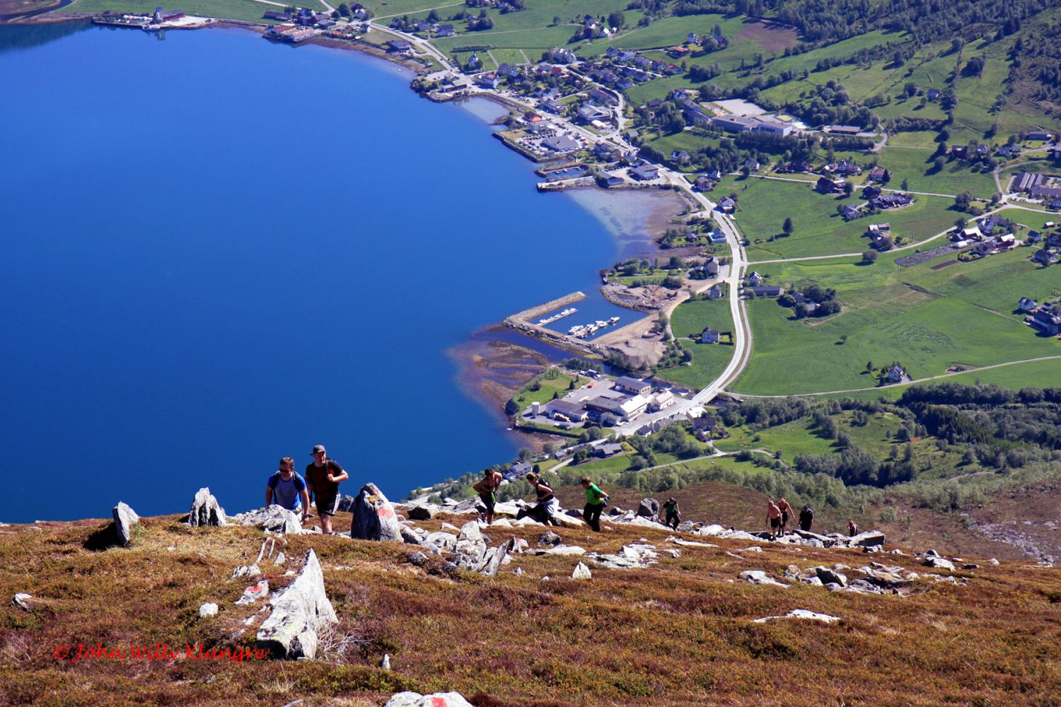
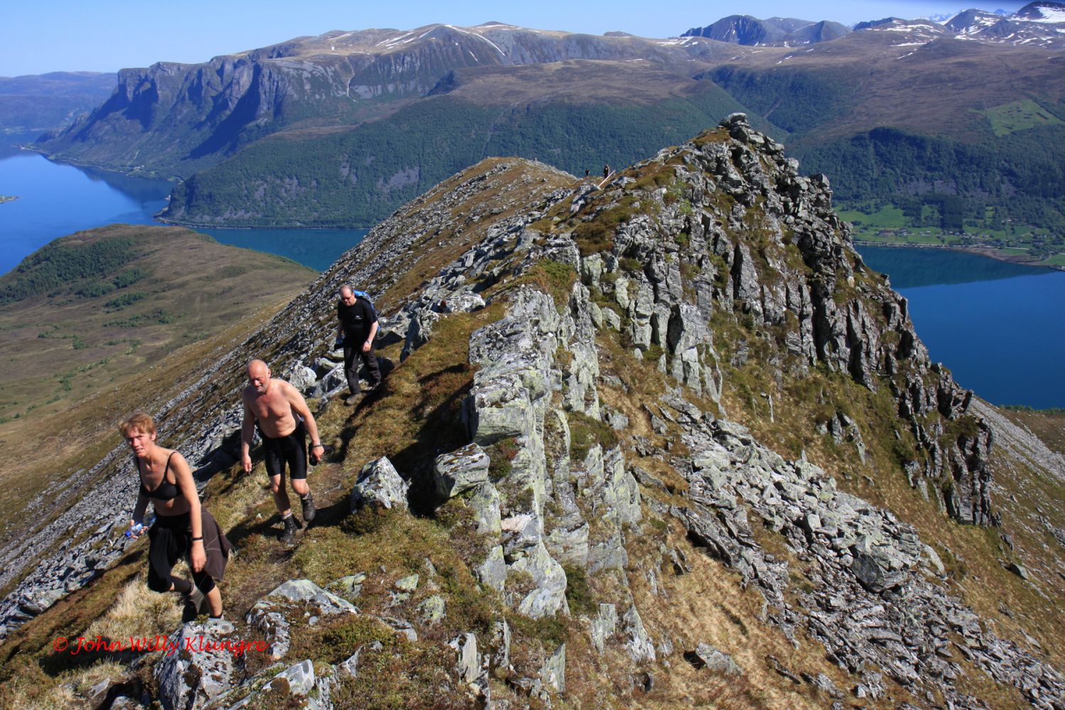
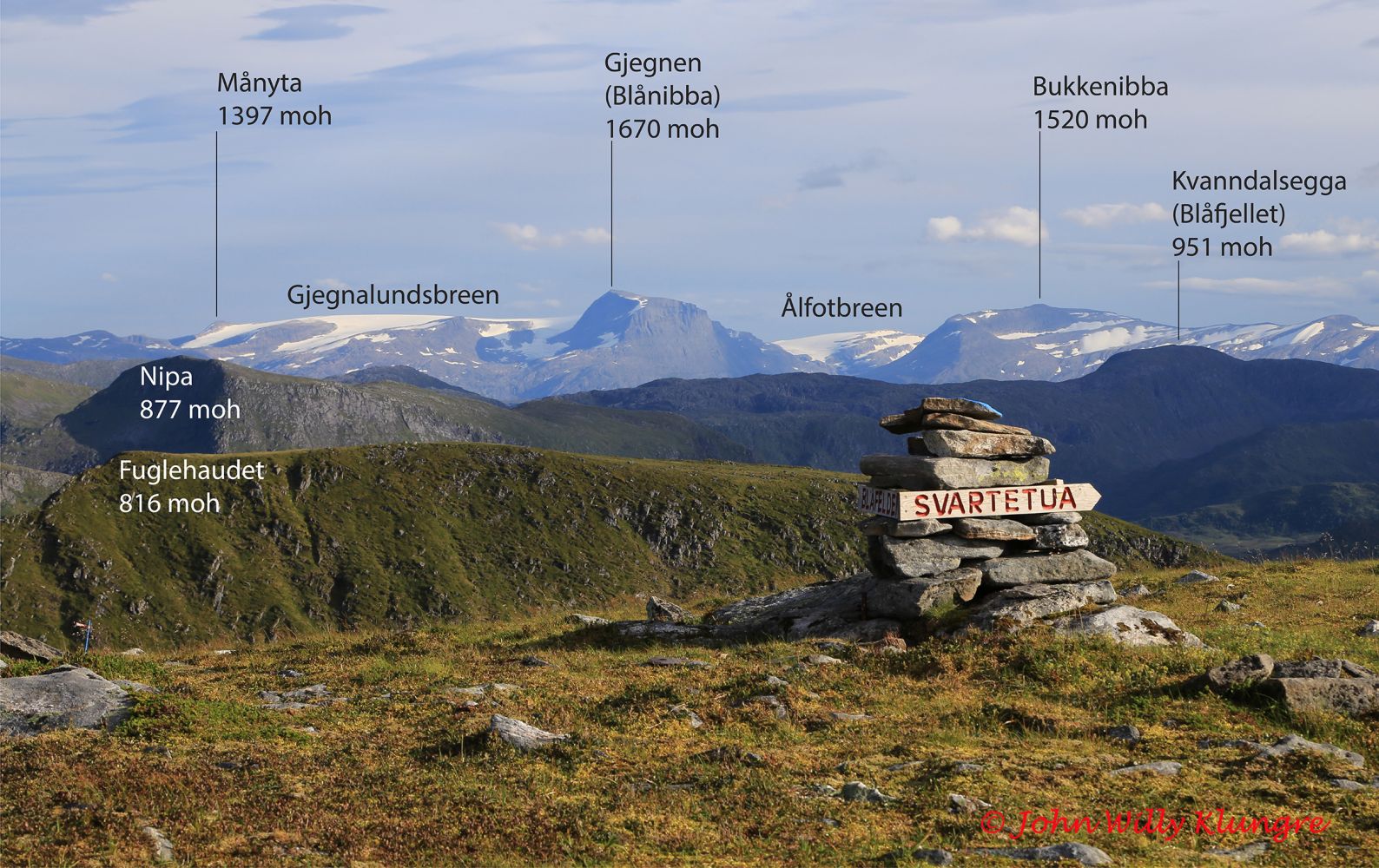
Follow the national road in the direction of Eidså and take the asphalt road up a steep hill about 100 metres after the bridge furthest west in Syvde. From the hilltop, drive for about 50 metres parallel with the fjord before you reach the starting point of the trail. The beginning of the trail is signposted, and the entire trail is well marked. Follow the moraine ridge from the fjord through an open birch forest and later an open landscape. This ascent is long and fairly difficult. It becomes easier after a while, and you get a lofty view along the ridge to Svartetua. The GPS file shows the route via the top of Svartetua, while the mountain running trail follows a faster route option to Blåfelden. From Blåfelden, you will get a spectacular view over Syvde and the surrounding area. The Syvde Sports Association set up their trail postbox at the top of Blåfelden. You will find the postbox close to the edge of the mountain on to the left of the deep cleft.

Access and parking

Please go to http://syvdeil.no/ to find out more about the mountain running race Blåfelden rett opp. You will also find some photos and descriptions of this hike on pages 118 and 119 in the book “Fotturar på Sunnmøre” (Eng. “Hiking Trails in Sunnmøre”). You can buy it in bookshops or directly from the publisher at http://www.iriss.no It is usually okay to park in the area where the trail goes over to the terrain.

Hiking route
Red
Elevation
846 m
Duration
3 t. 40 min.
Sesong
Spring, Summer, Autumn
Highest Point
836 masl
Signage
Both signed and marked

Map route

Surface type Distance
Sti 7

Map

Hiking map: På tur i Vanylven (Eng. Hiking in Vanylven) – can be purchased at local shops and petrol stations in Vanylven Municipality.
Driving directions

API endpoints

Route data GeoJSON