Norsk

Blåfelden – Fuglehovudet – Øverberg, route 54

Vanylven

The trail at a glance

If you are looking for a well-marked hiking trail that runs through various types of terrain and natural surroundings with ever-changing views over large parts of Vanylven Municipality, this would be a great choice. The trail runs between Syvde and Øverberg. You can either do the entire hike from north to south or follow parts of the route and return to the starting point. Please see a separate description of the trail section from Syvde to Blåfelden. This route is called Right up Blåfelden. There are no difficult or steep sections from Øverberg to the top of Fuglehovudet.

Route description

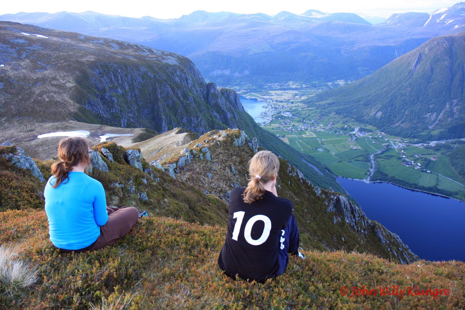
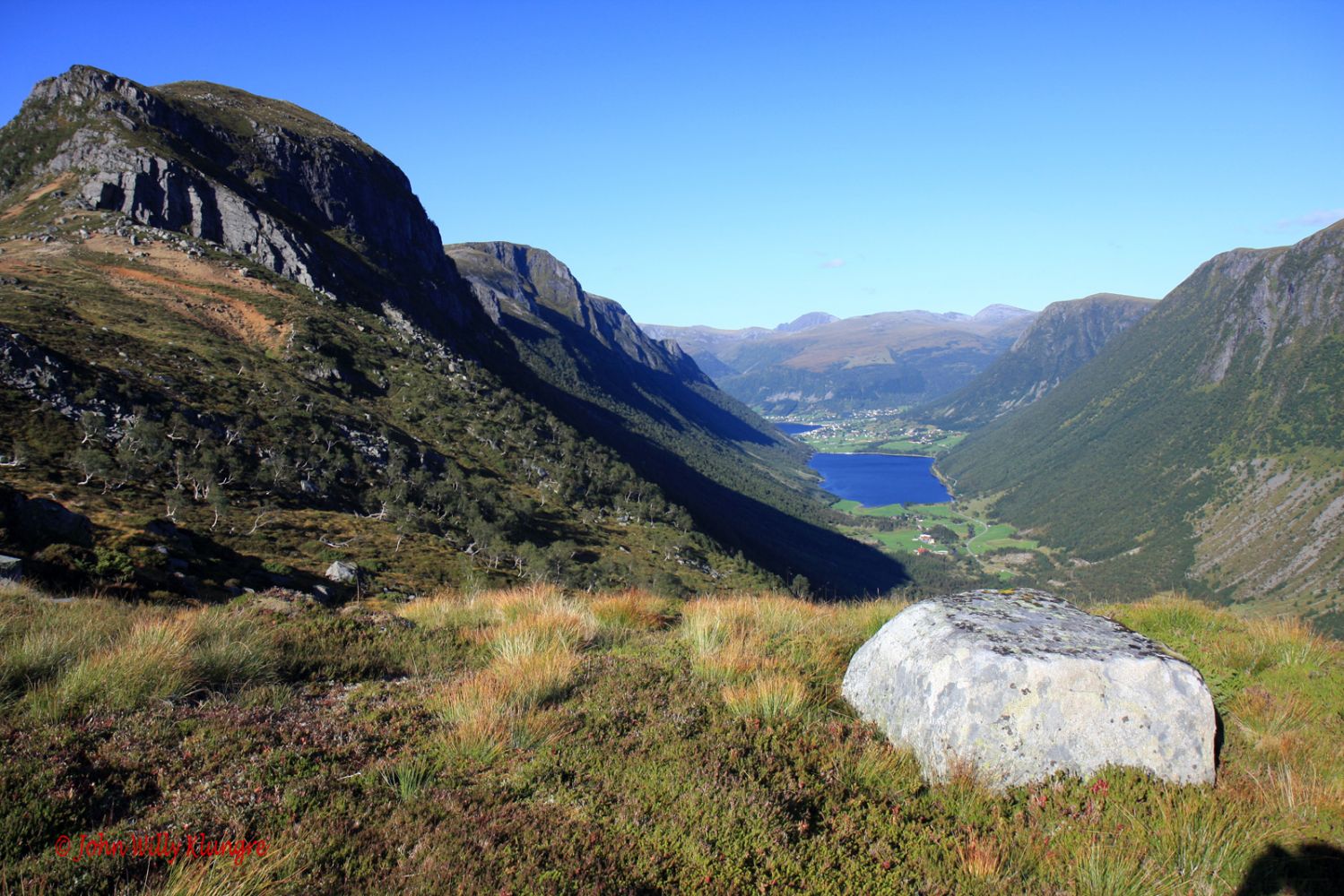
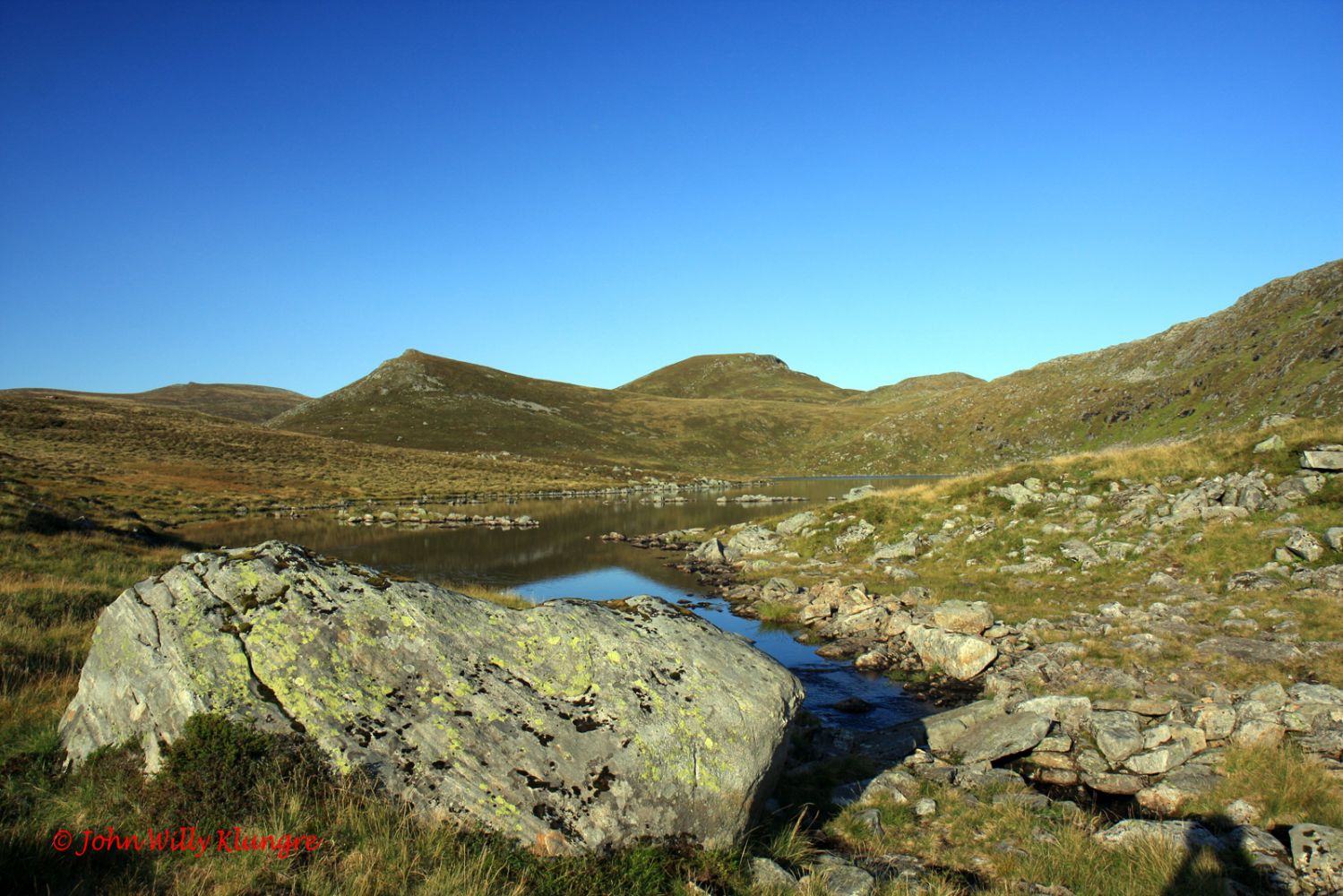
If you want to challenge yourself with a mountain running route called Blåfelden Rett Opp (Eng. Right up Blåfelden), start your hike in Syvde. The first section of the route follows a marked moraine ridge with open birch forest that later changes into a more open landscape. After 2 km of a gradual steep climb, you will walk through more gentle terrain over the mountain edge and come to the top of Svartetua at 842 m a.s.l with a view towards Eidså and the fjord. You will then walk over a plateau at 800 metres above sea level on the edge of Mount Blåfelden with a panoramic view over Syvde. From that point, you can follow the same route back to the starting point or continue hiking through gentle terrain to Øverberg via Mount Fuglehovudet.  If you prefer hiking in more gentle terrain with less climbing, you can start walking from Øverberg and go north. You will get to enjoy a great variety of open landscape once you are above the tree line: large and small lakes, an area of red olivine sand, an impressive rock left behind by a glacier which is fun to climb, and the ever-changing view. The higher you get, the more spectacular the view is. From the top of Fuglehovudet, you will get a fantastic view in all directions. Once you reach Fuglehovudet, you can either continue walking to Blåfelden and Syvde or return to Øverberg. The downward section from Fuglehovudet to Blåfelden may seem quite steep and difficult from the distance, but it is actually easy and safe to hike there if you follow the marked path. Additionally, you can read the description and see more photos from this trail in the book “Fotturar på Sunnmøre” (Eng. “Hiking Trails in Sunnmøre”), pp. 118–121. Please see http://www.iriss.no

Access and parking

Starting point in Syvde: drive from the centre of Syvde in the direction of Eidså. Once you reach the end of the foot and bicycle path along the side of the national road, turn off to the left up a steep hill. Drive for about 100 metres further up the top of that hill until you see a sign for Blåfelden. Starting point in Syvde: Decimal degrees: 5.72143 E 62.08719 N UTM 32: 32 V 328821 6888223 Starting point in Øverberg: you can drive to Øverberg either from Syvde or Sylte. From Syvde, turn off at the junction that is signposted to Sørdal and follow the asphalt road past Lake Sørdalsvatnet until you reach the end of the valley. You will see a gravel road that leads up to Øverberg. Drive up this road until you see the sign for route 54. This sign will be just before you reach the lake on the left side of the road. From Sylte, turn off towards the Syltedalen Valley and drive along the valley almost until it ends. Turn off onto the mountain road that begins to the left of the road about halfway through the lake in Syltedalen. You will reach the sign for route 54 after coming up to the mountain and driving past the lake. Starting point in Øverberg: Decimal degrees: 5.68154 E 62.03711 N UTM: 32 V 326454 6882755 It is usually okay to park at either of the two starting points of the trail. Car parking is free of charge.
Hiking route
Red
Distance
9,91 km one way
Elevation
1062 m
Duration
5 t. 15 min.
Sesong
Spring, Summer, Autumn
Highest Point
842 masl
Signage
Both signed and marked

Map route

Surface type Distance
Sti 10

Map

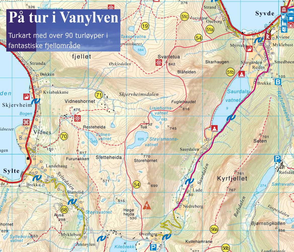
Hiking map: På tur i Vanylven (Eng. Hiking in Vanylven) – can be purchased at local shops and petrol stations in Vanylven Municipality.
Driving directions

API endpoints

Route data GeoJSON