Norsk

Bjørnsund Lighthouse

Hustadvika

The trail at a glance

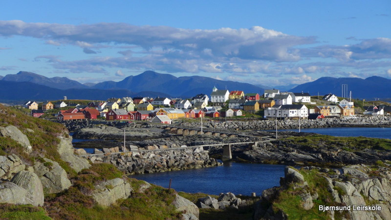
Bjørnsund is an archipelago stretching out into the open sea along the coast of Romsdal. From the beginning of the previous century and up to the end of the 1950s there used to be two lively and vibrant communities living in the area with people full of optimism. Today the abandoned fishing village is used for recreation purposes for old and young.The lighthouse was built in 1871 and used to be home to three families up to 1974. From that time on the lighthouse was manned in shifts until 1994 when it was automated. The lighthouse is now owned and protected by the state.The trail will take you across the harbour moles and sandbars to the lighthouse on the island of Moøya. It offers a view towards the entire Hustadvika, Bud, Ona and the Norwegian Sea. Here you can experience both the stormy weather with giant waves coming from the ocean as well as a peaceful beautiful sunset. The lighthouse was automated in 1994. You will also find potholes and great biological diversity on the outside of the island. NB! Please be careful when you are on the outside of Moøya as the ocean waves can be unpredictable and moody.

Route description

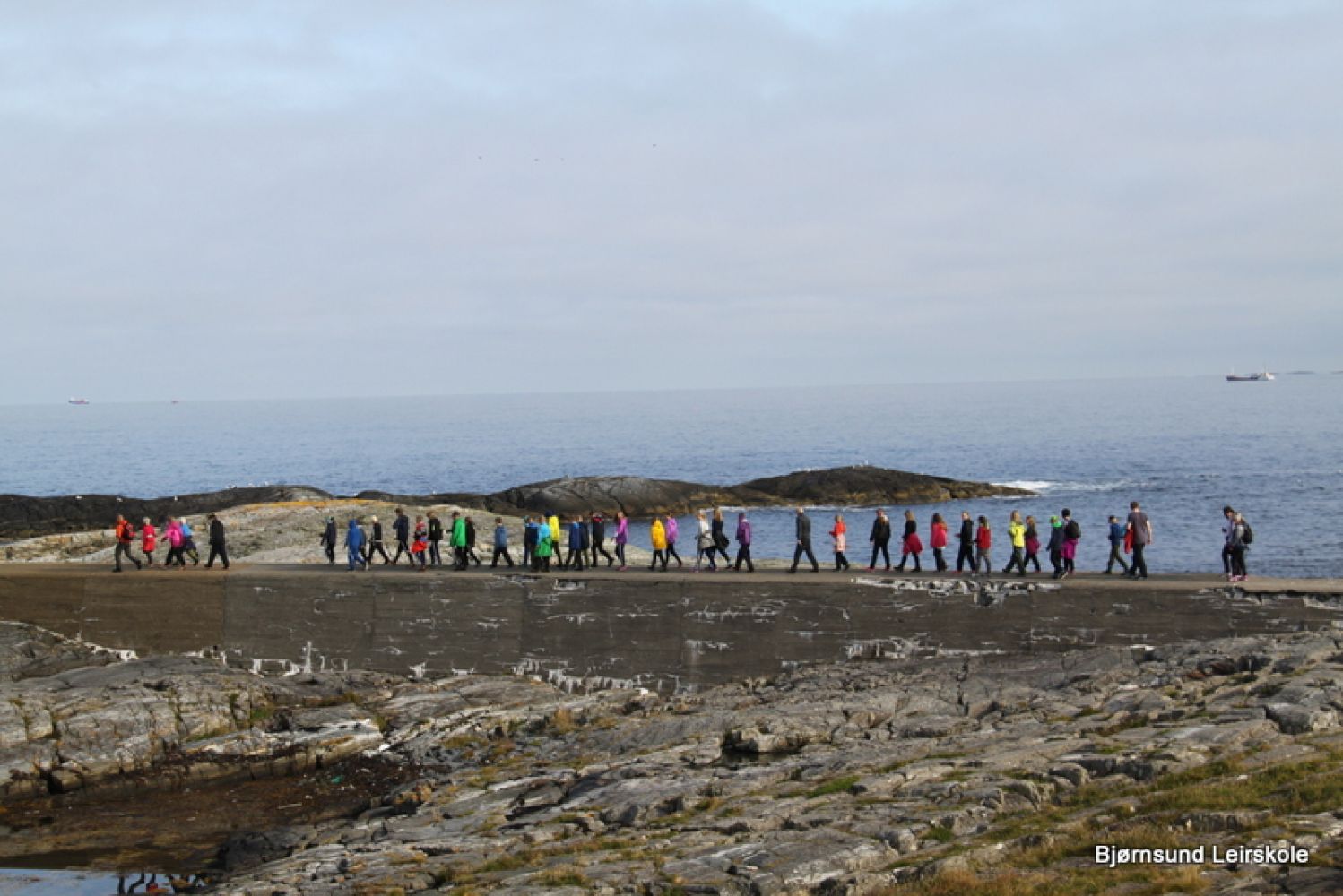
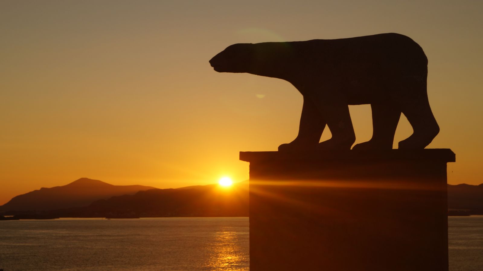
The destination of this trail is the Bjørnsund lighthouse on the island of Moøya. Follow the road to the school from the quay in Nordre Bjørnsund. You will see a sign attached to some old walls. Go past the football stadium near the last house and take a brief walk past the Polar Bear statue behind the school building. Then follow the harbour moles and sandbars on your way towards the lighthouse. The lighthouse, which is your destination, will be in front of you all the time. It is located at the highest point on Moøya which is 26 metres above the sea level. Go back the same way as you came here.If you cannot or do not want to take the long walk, you can also get to the lighthouse by walking from the Fyrkaia quay. This option can be used by people with limited mobility and might also be suitable for wheelchair users and baby carriages, but the final uphill section towards the lighthouse is quite steep.

The trail ends where it starts, either at the main quay in Nordre Bjørnsund or at the Fyrkaia quay near the lighthouse.

Access and parking

The trail itself can have two possible starting points. 1. Quay in Nordre Bjørnsund. 2. Fyrkaia quay on the island of Moøya near the lighthouse. You can take the “Øybjørn” ferry to get there. Click here to check the full timetable: http://www.frana.kommune.no/nyheter/aktuelle-saker/bjornsundruta-2016.24966.aspx “Øybjørn” departs from Harøysundet in low season and from Bud in high season. Low season: March 11 – June 19 and August 8 – October 23, the ferry departs from Harøysund. High season: June 20 – August 7, the ferry departs from Bud (harbour mole). Good parking opportunities near the harbour mole. During the residential school season it is possible to take a day trip to Bjørnsund on Wednesdays. The ferry leaves from Harøysund at around 13.30, arriving back at around 18.00. Since this is not an official route, you should always contact “Øybjørn” in advance. (“Øybjørn” carries students to and from the centre of Bud, so you can also take the ferry from Bud. In that case your stay at Bjørnsund will be a bit shorter) Additional departures: Wednesday March 23 at 18.00 from Harøysund Saturday March 26 at 11.00 from Harøysund Wednesday May 4 at 18.00 from Harøysund Tuesday May 17 at 17.00 from Harøysund Cancelled: Friday March 25 (Good Friday) Sunday May 15 (Pentecost) For more information please contact the ferry by phone: 97 18 19 00 Special ferry tours are organised during the Coastal Culture Weekend from June 24 to June 26. Please go to http://www.kystkultur.org/ to learn more about the departures and programme. The link to bus departures to and from Molde: http://www.frammr.no/

One option is to park your car in Harøysundet in low season (look for the sign by the main road) and take the ferry from there. A parking fee applies. The other option is to park your car in Bud near the harbour mole / Fuglefjellet right next to the “Bryggjen i Bud” restaurant. Parking here is free of charge.

Hiking route
Green
Distance
1,90 km one way
Elevation
14 m
Duration
1 t. 0 min
Sesong
Spring, Summer, Autumn
Highest Point
10 masl
Signage
No signage or markings

Map route

Surface type Distance
Grus 1
Sti 1

Public transport

Please read the description under the headline “Where does the trail start?”

Other

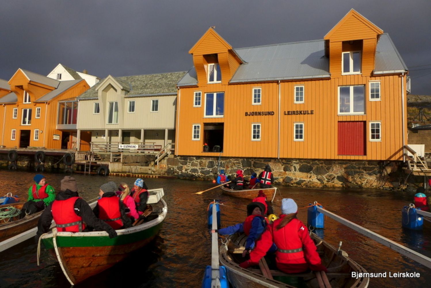
Those who get to the island by private boat can moor their boats to the guest quay further in the harbour and walk up to the lighthouse from there. Do not come too close to the sea when there are large waves. Be especially careful on the northern side of the island of Moøya. From July 1 till August 5 there is a summer café in the residential school building at the pier in Nordre Bjørnsund. During the residential school season it is possible to take a day trip to Bjørnsund on Wednesdays. The ferry leaves from Harøysund at around 13.30, arriving back at around 18.00. Since this is not an official route, you should always contact “Øybjørn” in advance. (“Øybjørn” carries students to and from the centre of Bud, so you can also take the ferry from Bud. In that case your stay at Bjørnsund will be a bit shorter)

Map

Harøyfjorden 1:50 000 2007
Driving directions

API endpoints

Route data GeoJSON