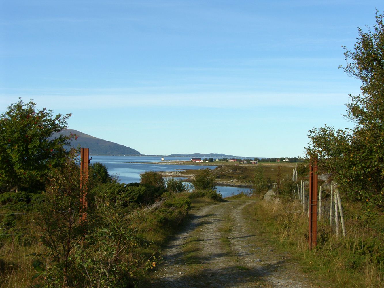
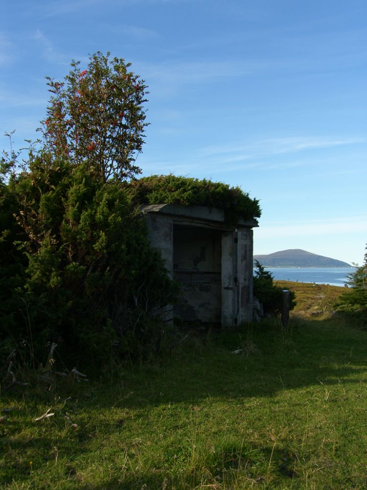
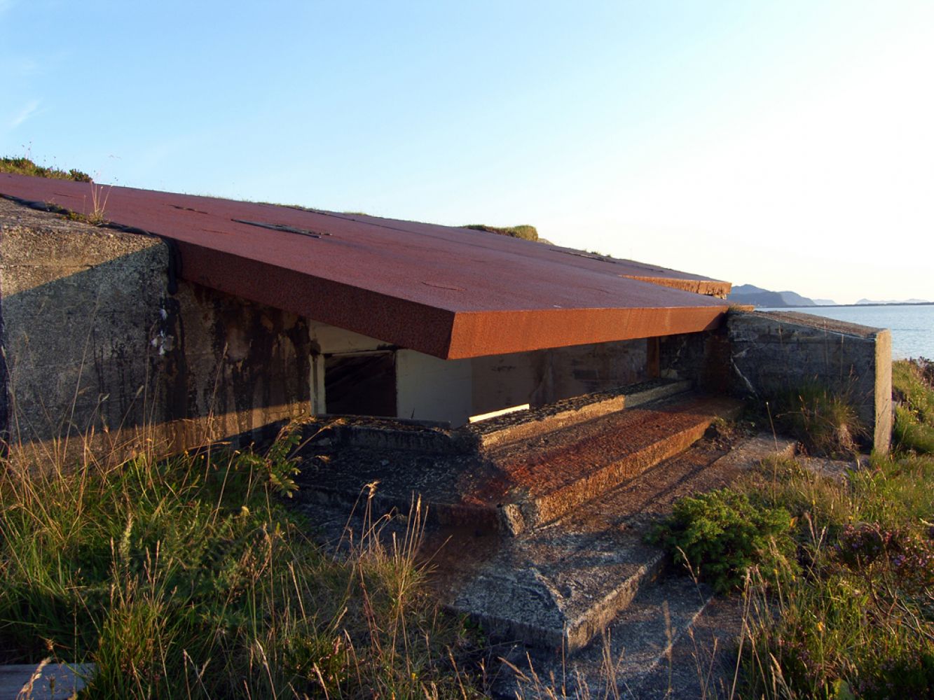
This is an easy walk for everyone to enjoy. The trail offers great cultural experience. During the Second World War the area was used as a coastal fort which is why you will find a number of bunkers and trenches here. The area along the shore is also worth seeing, and it offers a great view of the islands. This trail is especially good for children, and it is nice to sit down and enjoy a snack along the way. Benches and tables are set up at several points along the way.
Route description
The trail follows a tractor road all the way up to the area with the bunkers. Once you reach the coastal battery, you will see many paths you can follow to explore the area further. Take good care of the children! Not all bunkers and trenches are absolutely safe. You will also see some farm animals grazing on the fields. The trail is primarily stroller-friendly, but the last 100 metres along the path can be challenging for people with baby carriages.
The destination of this trail is the Second World War gun emplacement. From there, you will get a fantastic view towards the islands.
Access and parking
Park your car by the garage and walk from there to the tractor road. If you come to the area by public transport, walk from the main road (Fv146) and continue over the Bjørnøy Bridge.

 Driving directions
 Route data