Bjørnen – rundtur Kilebrekka – Bjørnen – Øverberg, route 55B / 69
Vanylven
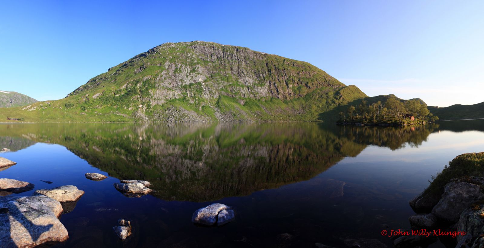
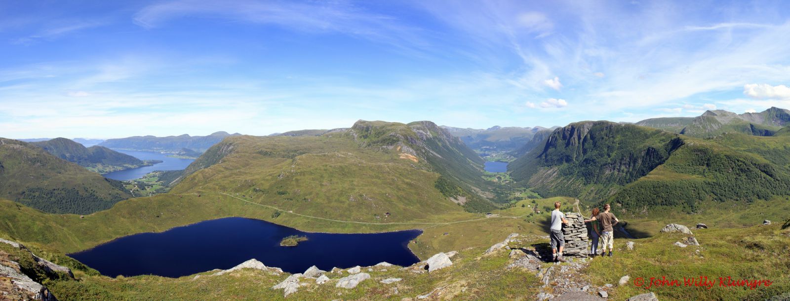
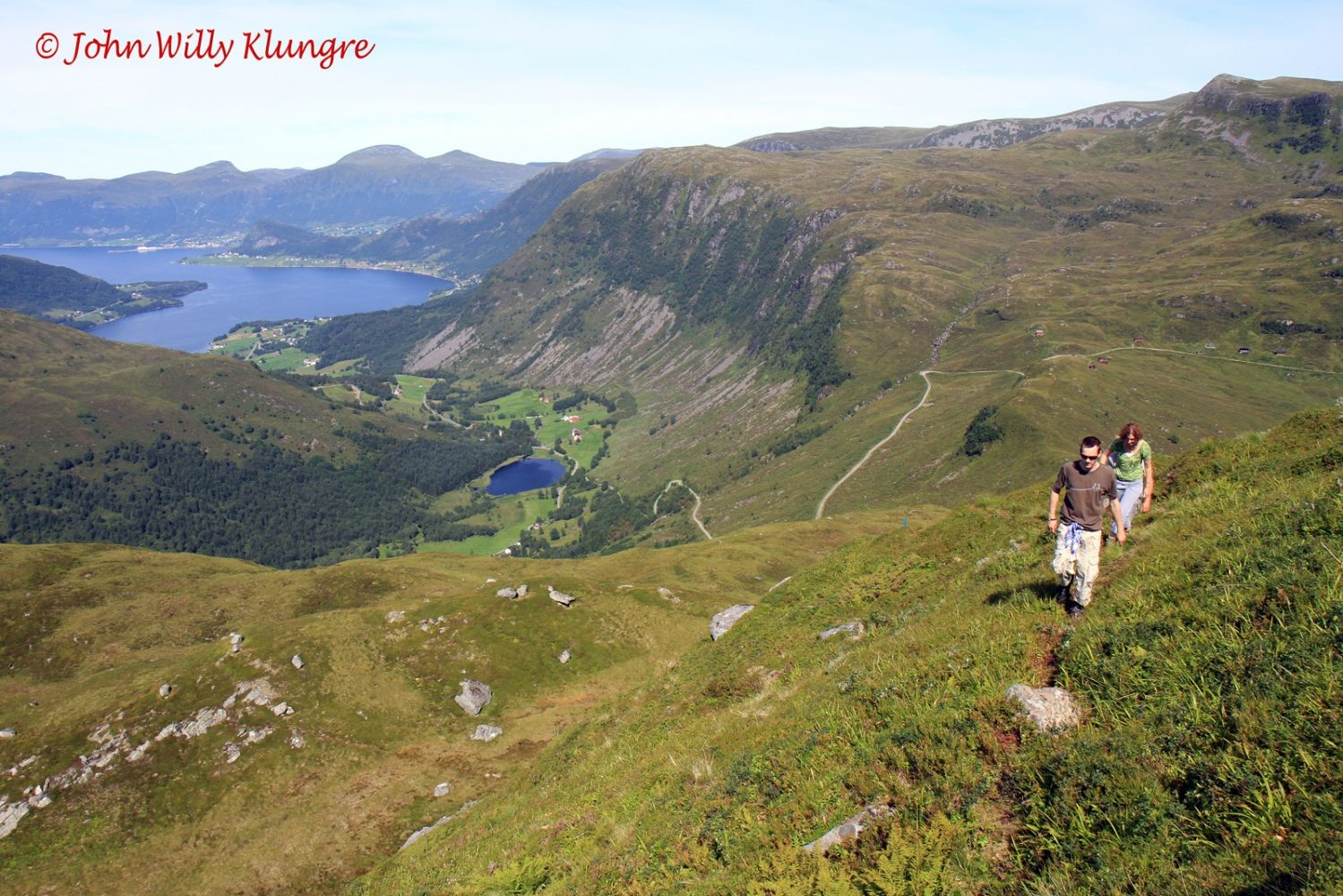
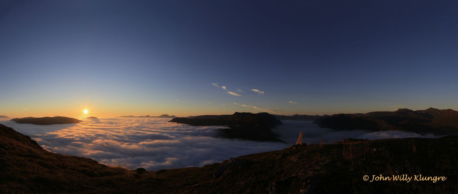
This relatively short hike can be made into a loop trail where you would come back to the starting point. The trail offers a varied and wide view over large parts of Vanylven Municipality. You will see several villages and valleys, Stadlandet and the ocean in the west, and the highest mountaintops of Vanylven in the east. The trail has some flat sections at the top of Mount Bjørnen and along the road north of Lake Kilebrekkvatnet, but the grassy slopes on both sides of Bjørnen are relatively steep.
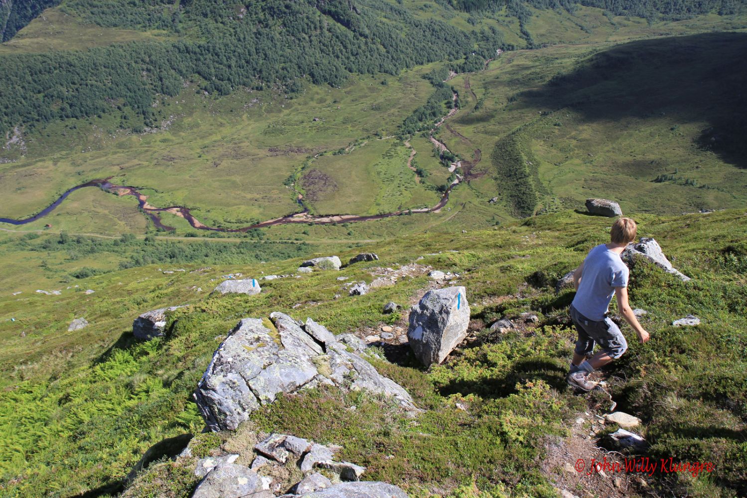
The starting point of this trail is signposted in both Øverberg and Kilebrekka. If your starting point is Øverberg, follow the sign for Bjørnen and route 55B that runs further to Kvistivatnet and the Vassdalsbu cabin. If you start from Kilebrekka, you will see the sign that points to route 69 and Bjørnen. To get to the starting point, you can either drive from Syvde via the Sørdalen Valley to Øverberrg or from Sylte via the Syltedalen Valley to Kilebrekka. The trail is well marked with blue paint in the terrain, and the intersections of paths are signposted. The top of Mount Bjørnen offers flat and easy terrain, but the grassy slopes on your way up are steep on both sides of the mountain. You will primarily follow a good-quality clear path. The GPS file you find on this page has the starting point in Kilebrekka.
Starting point in Øverberg or Kilebrekka: you can drive to Øverberg and Kilebrekka either from Syvde or Sylte. From Syvde, turn off at the junction that is signposted to Sørdal and follow the asphalt road past Lake Sørdalsvatnet until you reach the end of the valley. You will see a gravel road that leads up to Øverberg. Drive up this road until you see the sign for route 55B and Bjørnen. This sign will be just after the second cattle grid you pass after leaving the asphalt road. You can park your car by the signpost.
From Sylte, turn off towards the Syltedalen Valley and drive along the valley almost until it ends. Turn off onto the mountain road that begins to the left of the road about halfway through the lake in Syltedalen. You will reach Kilebrekka and the sign for Bjørnen and route 69 at the highest point of this road.
Starting point in Øverberg:
Decimal degrees: 5.68479 E 62.03699 N
Starting point in Kilebrekka:
Decimal degrees: 5.66354 E 62.03808 N
Duration
2 t. 20 min.

Sesong
Spring, Summer, Autumn
Signage
Both signed and marked
| Surface type |
Distance |
| Grus |
1 |
| Sti |
4 |
Hiking map: På tur i Vanylven (Eng. Hiking in Vanylven) – can be purchased at local shops and petrol stations in Vanylven Municipality.
 Driving directions
 Route data
GeoJSON