Bjørlykkjehornet, route 2
Vanylven
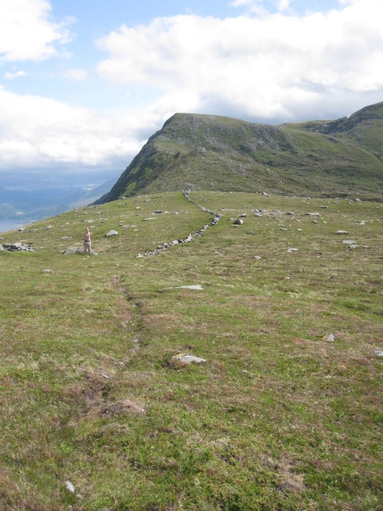
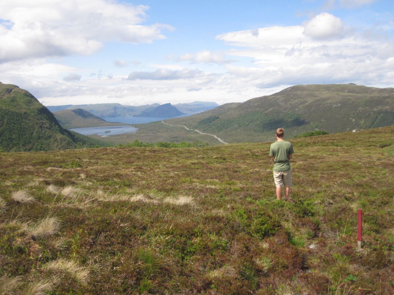
This hike offers an amazing view of the fjords and the sea. Parts of the route follow an old stone wall which was built to prevent cows from falling down the steep slope.
Once you reach the mountaintop, you can either follow the same route back to the starting point or continue along routes 21, 14, and 1.This way you will also return to the car park.
Start walking from the car park on the hillside above Lake Børevatnet. The route is marked with red sticks and red paint on stones. You will walk through flat or moderate terrain for the first two thirds of the trail. The final section of the trail is steeper, and you will get a great view down from one of the sections just before the mountaintop. Follow the path as it zigzags up this steep section.
Turn off FV2 in Sørbrandal when you see a white masonry house (there is a sign on the garden fence). If you are driving from Koparnes, you will reach this turn about 300 m after the power station. From Åram, it will be just after you pass the old shop and the post office. Drive further into the valley for 700 m. From there, follow the toll road for 4 km until you reach the car park. The toll fee is NOK 40.
Park your car at the starting point of the trail.
Duration
2 t. 50 min.

Sesong
Spring, Summer, Autumn
Signage
Both signed and marked
| Surface type |
Distance |
| Sti |
7,8 |
Vanylven hiking map can be purchased at local shops in Vanylven Municipality.
 Driving directions
 Route data
GeoJSON