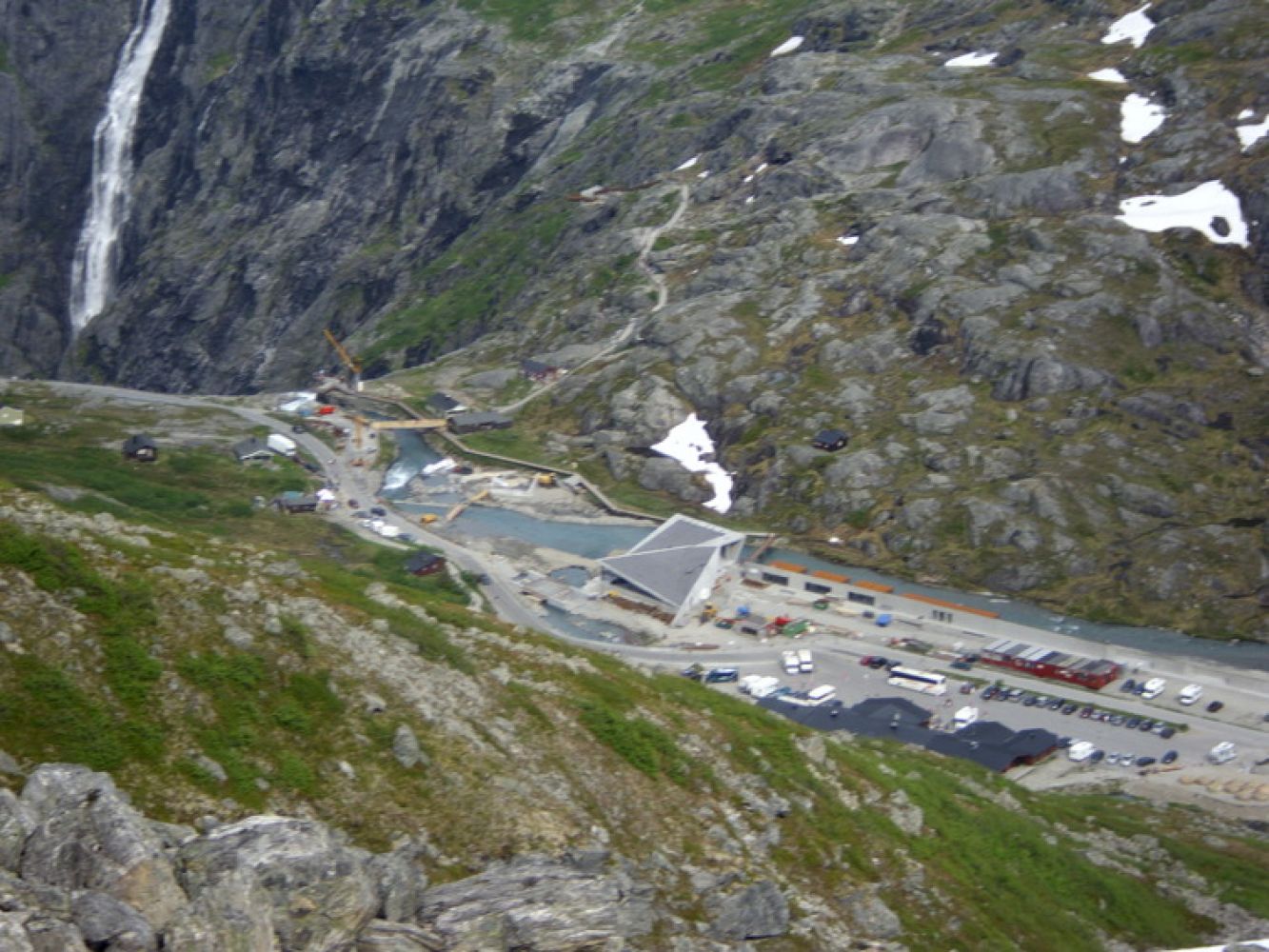
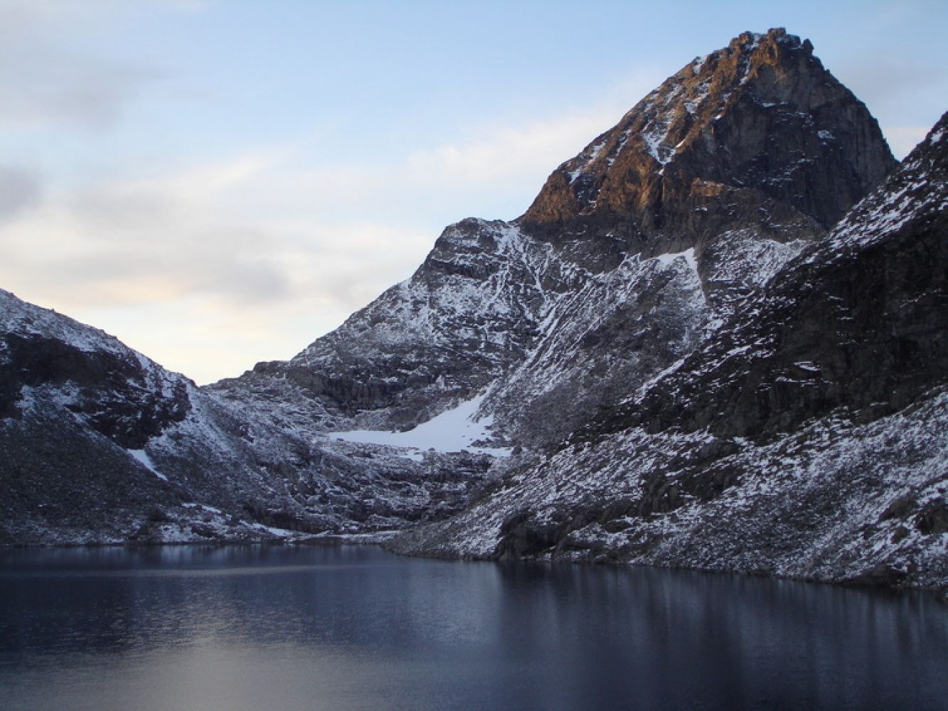
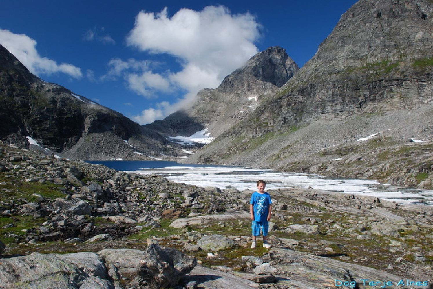
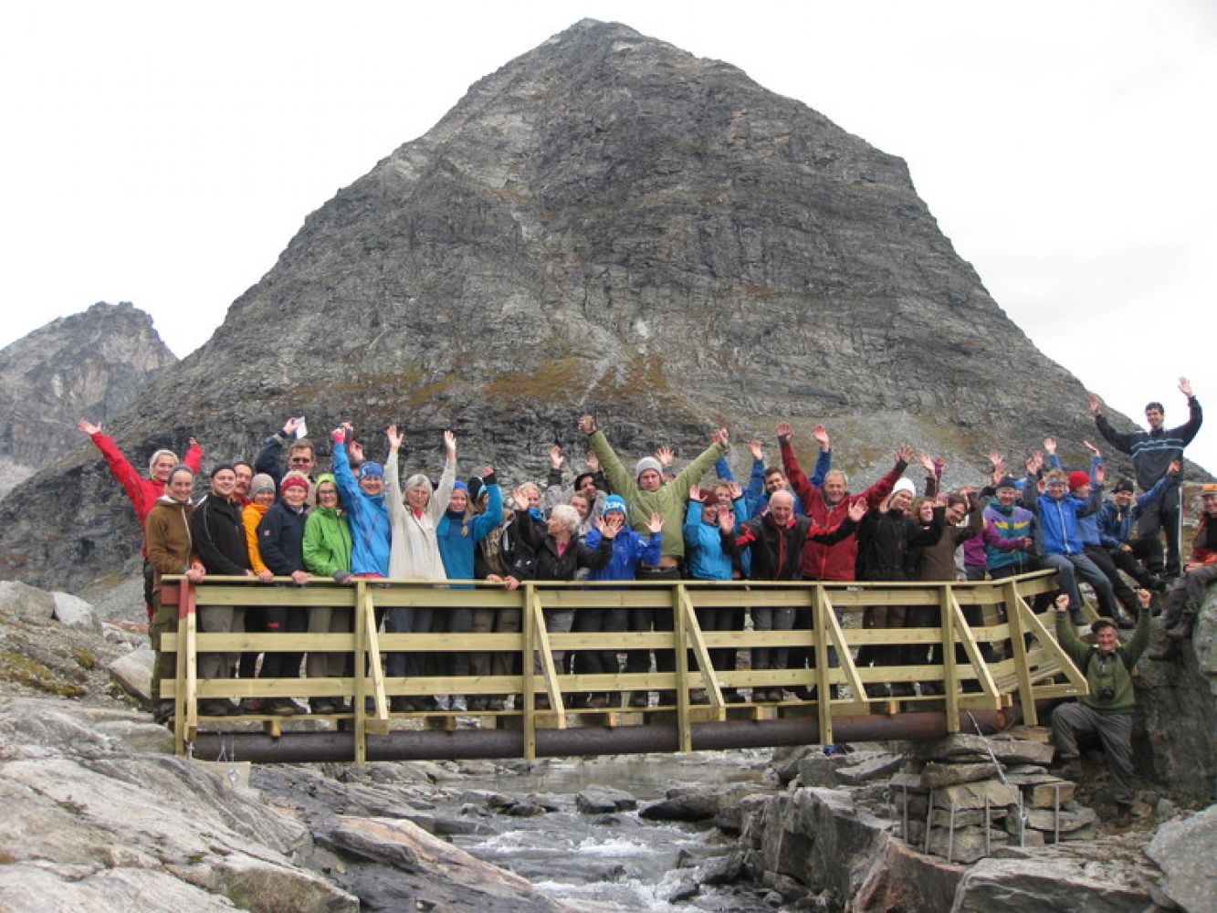
Drive along County Road 63 Trollstigvegen (Fv63) and park your car in Strupen, about 200 metres closer to the top than the restaurant. Follow the sign to Bispevatnet. The path is marked all the way up to Lake Bispevatnet, and there are some cairns along the path further to Mount Bispen. Start walking from the county road and follow the mountain ridge as it goes up until it flattens out slightly and you reach a small pond. Take the turn to the right around the mountain wall and walk further along the cairned path. It is easy and pleasant to walk here. 100 metres after the mountain wall, the path turns right, goes over some bare rock slopes and then up through some scree. Keep to the right following another mountain ridge and to the right again under the next large scree. The path follows the ridge upwards and drifts slightly to the right. It continues up the hill and goes towards the river that flows out of Lake Bispevatnet. There is a bridge over the river. Walk over the bridge and find yourself a nice picnic area. You can sit down here and enjoy looking at the back of the mountains Bispen, Kongen and Finnan. Alternative RouteYou can walk back from Lake Bispevatnet to make this hike into a looped trail. Follow the path marked with red signs as it goes down along the northern side of the Bispeelva river. This path is slightly steeper. It ends at the tourist resort at Trollstigen. Right after the start, you will see the old transport route called Kløvstien that used to connect the Romsdal and the Valldal valleys. The route goes parallel with the motor road. This is a short and easy trail. Once you reach Lake Bispevatnet, you will be at the starting point of the trails to both Bispen and Kongen. These trails require the knowledge of the local area and a lot of experience.Mathias Soggemoen, Erik Norahagen and Carl Hall climbed all the three mountains Bispen, Kongen and Dronninga in 1882. From Lake Bispevatnet, you also get a great view of Alnestinden wich is a popular skiing destination in spring after Trollstigvegen Road is cleared from snow. A traditional giant slalom race which attracts skiers from all over the country, Trollstigrennet, has been held under Alnestinden for many years. Source:

 Driving directions
 Route data