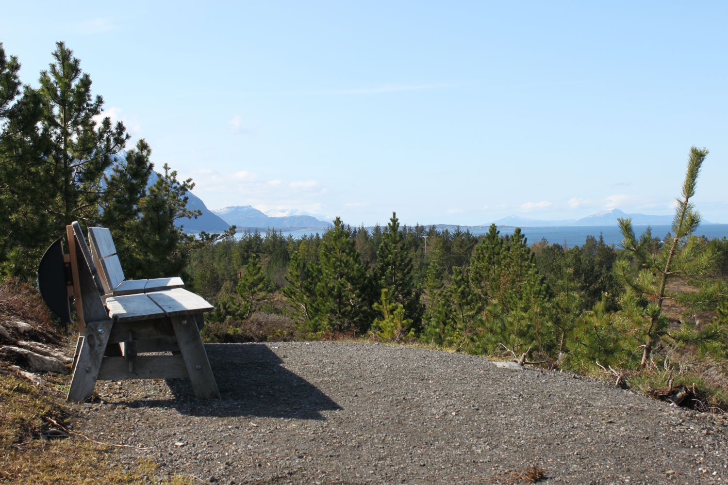
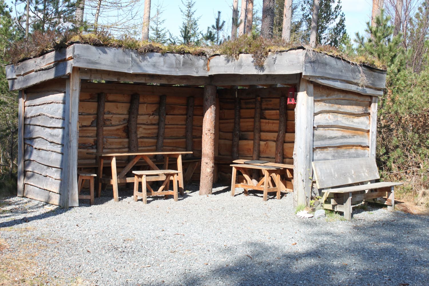
The colourful beech forest in autumn is worth visiting in its own right. So are the birds singing in the springtime. When the wind is blowing outside, you can enjoy the peace and quiet of the forest with only the leaves whispering in the wind. You might spot a deer or two along the way.The “gapahuk” mountain shelter has tables and benches where you can take a rest or have a nice conversation with your friends. There are benches to rest on and enjoy an amazing view from Berghaugen.
There is a ferry connection with Hollingsholmen (route 31). The trail starts at the car park near the Aukra church. Park your car by the church or the Aukrahallen sports hall. Follow the gravel road up to the forest, then continue straight ahead towards the highest point on your route. At this point the path divides into two. The “gapahuk” mountain shelter will be on the left. If you continue straight ahead, you will reach Berghaugane with a viewpoint facing the neighbouring islands. There are plenty of paths in the forest, just give them a try! The trail is also suitable for cyclists, people with baby carriages and wheelchair users. The trail is about 1.2 km long. You can continue hiking from Berghaugen and go around Halingshaugen. This is a nice 2.5 km long looped trail.
You can also start or finish your trail at the Aukra ferry terminal.
The trail starts at the car park near the Aukra church. There is a ferry connection with Hollingsholmen (route 31).
Park your car by the church. Parking by the ferry terminal is also possible. No parking fee applies.
Duration
40 min.

There are several Second World War memorials along the trail. In spring there is a field of wild daffodils by the church.
 Driving directions
 Route data
GeoJSON