Bekslehornet – Route 62
Vanylven
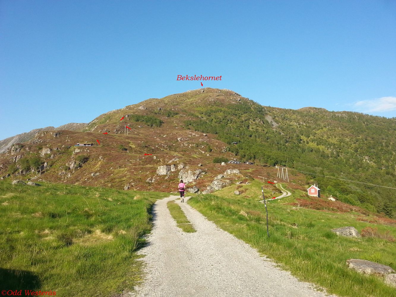
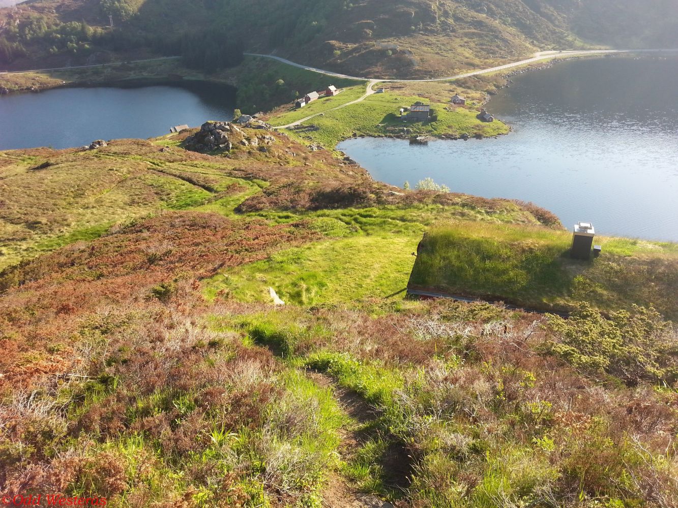
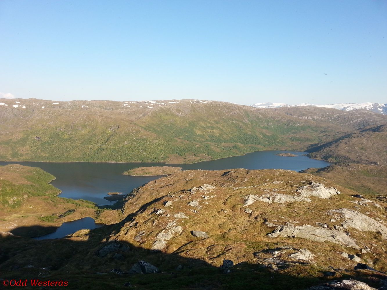
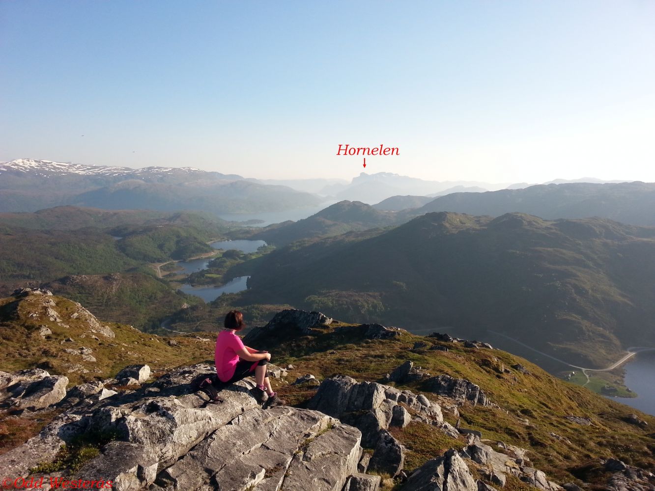
This hiking trail covers relatively easy terrain. The trail starts at the mountain farm Bekslesætra that lies between the lakes Bekslevatnet and Juvatnet close to the border of Sogn og Fjordane County. Beksle was the area of mountain farming in the old times. It also used to be a meeting point for the people from Sunnmøre and Nordfjord. Bekslevatnet and Juvatnet are good fishing lakes. You will get a spectacular view from Bekslehornet. For a longer hike, the trail towards Heida and down to Kvilehytta can be a great alternative.
The trail starts from Beksle, which is located along FV61 between Åheim and Bryggja/Maurstad. A gravel road runs east from the car park. At the beginning of the ascent, you will see a sign showing the direction. The path is clearly seen and well marked. Route finding will not be a problem. Just walk up the ridge. A couple of hundred metres before the top, you will come across a stone with a sign showing the way ahead. Turn right and walk straight up to the highest point.
From the junction in Åheim, follow County Road 61 (FV61) over the bridge in the direction of Måløy. The car park and the starting point of the trail are in the Maurstadeidet area, 7.6 km from the junction in Åheim. The car park and the starting point of the trail are in Beksle between the lakes Bekslevatnet and Juvatnet.
The car park at the start of the trail is well-maintained and free to use.
Duration
1 t. 40 min.

| Surface type |
Distance |
| Sti |
3 |
Hiking map: På tur i Vanylven (Eng. Hiking in Vanylven) – can be purchased at local shops and petrol stations in Vanylven Municipality.
 Driving directions
 Route data
GeoJSON