Norsk

Bekslehornet – Austelidheida/Heida, route 62

Vanylven

The trail at a glance

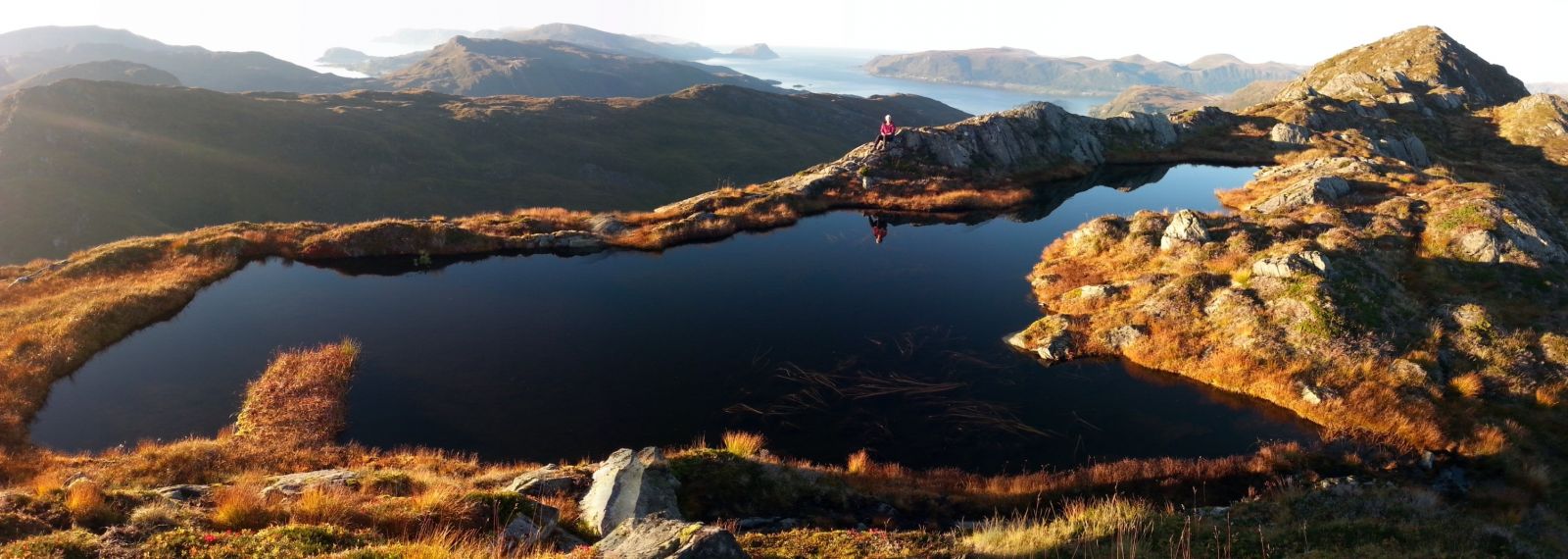
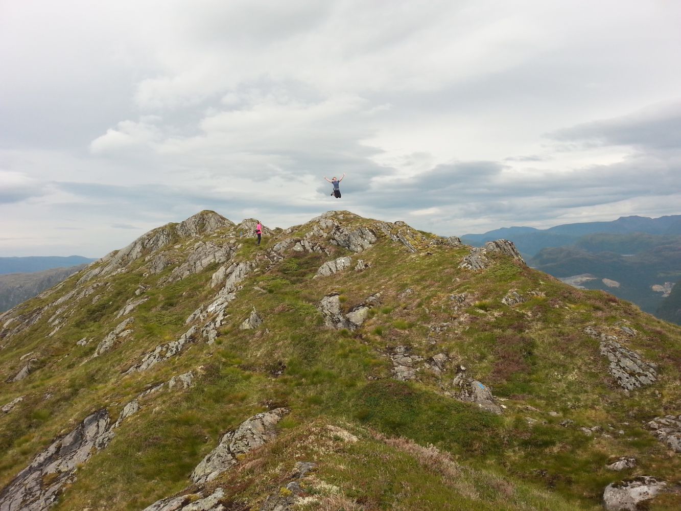
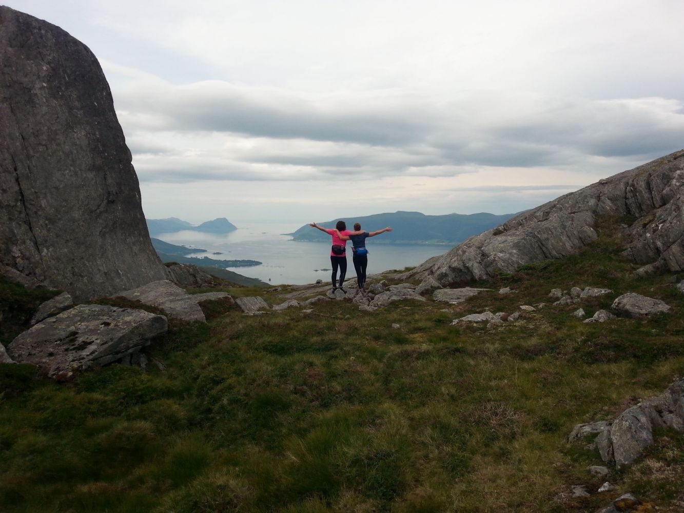
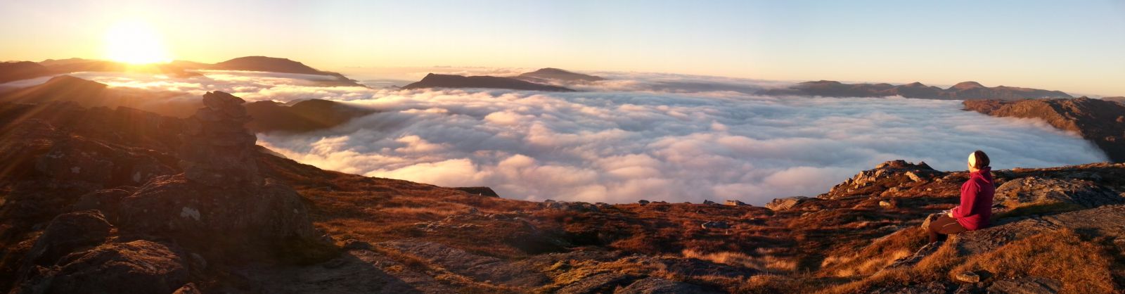
If you drive along FV61 over Maurstadeidet from Åheim to Nordfjord, you will see a mountain ridge stretching along the lakes Bekslevatnet and Vaulvatnet east of the road. The Sunndalen Valley lies on the other side of the ridge. A walk along this ridge between the tops Bekslehornet and Austelidheida, or Heida as it is locally called, is an amazing hiking experience with a panoramic view that you can enjoy almost the entire time. In summer, the sun is shining here until late in the evening. It is also possible to watch the sunset over Vanylvsfjorden from here. When the clouds are hanging low over the fjord, you can climb up here and enjoy the sun above the clouds. The starting point of this trail can be both Beksle and Jetmundleitet above Kvilehytta Café, but this description focuses on the route that starts from Beksle and ends at Jetmundleitet. Having two cars or riding a bicycle can be an advantage for this particular trail. The entire trail is marked. Of course, you can also follow the same route back from Heida to Beksle. There is a marked and signposted shortcut that you can follow. The trail starts at the mountain farm Bekslesætra that lies between the lakes Bekslevatnet and Juvatnet close to the border of Sogn og Fjordane County. Beksle was the area of mountain farming in the old times. It also used to be a meeting point for the people from Sunnmøre and Nordfjord. From Heida, you will walk down to Jetmundleitet. We recommend taking a detour to Jetmundsteinen (Eng. St. Edmund’s Stone) on the other side of FV61. You can park your car next to Kvilehytta Café, which you could also visit at the end of the hike to enjoy their delicious food and drinks.Bekslevatnet, Vaulvatnet, and Juvatnet are good fishing lakes. You will get a spectacular view from Bekslehornet. From Heida, the view over Åheim and out to Vanylvsfjorden is excellent, too. Jetmundleitet: From the junction in the centre of Åheim, drive south along FV61 in the direction of Måløy. Follow the road as it bends up towards Maurstadeidet. You will reach Kvilehytta Café 2.7 km after the junction. You can use the well-maintained car park free of charge and enjoy good food and drinks here after the hike. From Kvilehytta, follow FV61 for 300 metres further ahead and you will find the start and the endpoint of the trail on the left side of the road 100 m past the sharp turn.

Route description

The trail starts from Beksle which is located along FV61 between Åheim and Bryggja/Maurstad. A gravel road runs east from the car park. At the beginning of the ascent, you will see a sign showing the direction. The path is clearly seen and well waymarked. Route finding will not be a problem. Just walk up the ridge. A couple of hundred metres before the top of Bekslehornet, you will come across a stone (about 1.4 km from the starting point) with a sign showing the way ahead. Turn right and walk straight up to the highest point. Please also see this trail description: http://mrfylke.no/Morotur/Turar/Bekslehornet-rute-62 Once you reach Bekslehornet, start walking north. The direction you need to take is signposted, and the path is marked. The trail runs through Smalenyken with its peak 600–700 m away from Bekslehornet. There are a couple of downward sections here where you need to do a bit of mountain climbing. Down my Smalenykjen, at the lowest point before the beginning of the next ascent (300–400 m from the top of Smalenykjen), you will see a sign that points to a shortcut that you can take if you follow the same route back from Heida to Beksle. After about 200 m along a slightly ascending section of the trail, you will reach a small lake. From that point, you just need to walk along the ridge. You will walk past the highest point on the route after about 400–500 metres. The place is marked with a cairn which is located about halfway between Bekslehornet and Heida. Continue following the ridge towards Heida through gentle terrain. About 500 m before Heida, you will see a natural “gate” with a beautiful view to the west. The distance between Bekslehornet and Heida is about 3 km. It is about 1.7 km from Heida down to FV61 near Jetmundleitet. We recommend carefully following the marked route here because you can otherwise end up hiking through fairly rough terrain. Keep slightly to the left and walk in the direction of Åheim. After 500–600 m, keep slightly to the left again. After another 100–200 m, keep to the right and walk straight down for about 100 m. At this point, keep to the right and walk along a small ridge for about 300 m before drifting to the left again and going straight down for about 50 m. You will reach a small plateau where you need to turn left. Walk over the plateau and continue down into the forest in the direction of the river which you need to cross over a stone bridge to come down to FV61 near Jetmundleitet. Please also see this trail description with a photo that shows the entire route: http://mrfylke.no/Morotur/Turar/Austelidheida-Heida-fraa-Jetmundleitet-Kvilehytta-rute-62 Many people choose to follow the same route back from Heida to Beksle. If you do that, turn off the path once you reach the lowest point between Smalenykjen and a small lake that you walk past. This shortcut branches off west of the main route. It drifts south after about 70 m. After walking south for about 700 m, you will come back to the route between Beksle and Bekslehornet at the large stone with a sign.

Access and parking

From the junction in Åheim, follow FV61 over the bridge in the direction of Måløy over Maurstadeidet. The car park and the starting point of the trail are in Beksle between Bekslevatnet and Juvatnet, 7.6 km from the junction in Åheim. The car park in Beksle is well-maintained and free to use. The car park by Kvilehytta is also well-maintained and free. Combining this hike with a good dinner is definitely recommended. Kvilehytta is famous for its delicious food. They also offer accommodation in cabins.
Hiking route
Blue
Distance
6,01 km one way
Elevation
508 m
Duration
2 t. 40 min.
Sesong
Spring, Summer, Autumn
Highest Point
642 masl
Signage
Both signed and marked

Map route

Surface type Distance
Sti 5,7

Map

Hiking map: På tur i Vanylven (Eng. Hiking in Vanylven) – can be purchased at local shops and petrol stations in Vanylven Municipality.

Link to route description

Driving directions

API endpoints

Route data GeoJSON