Bakkeløypa
Lesja (Innlandet)
This 6 km long loop trail is a good fit for families. It has a number of slopes which may be exciting for some and perhaps more challenging for others. This loop trail is usually among the first groomed trails in Bjorli. You will find several nice spots for a break at the highest section of the trail.
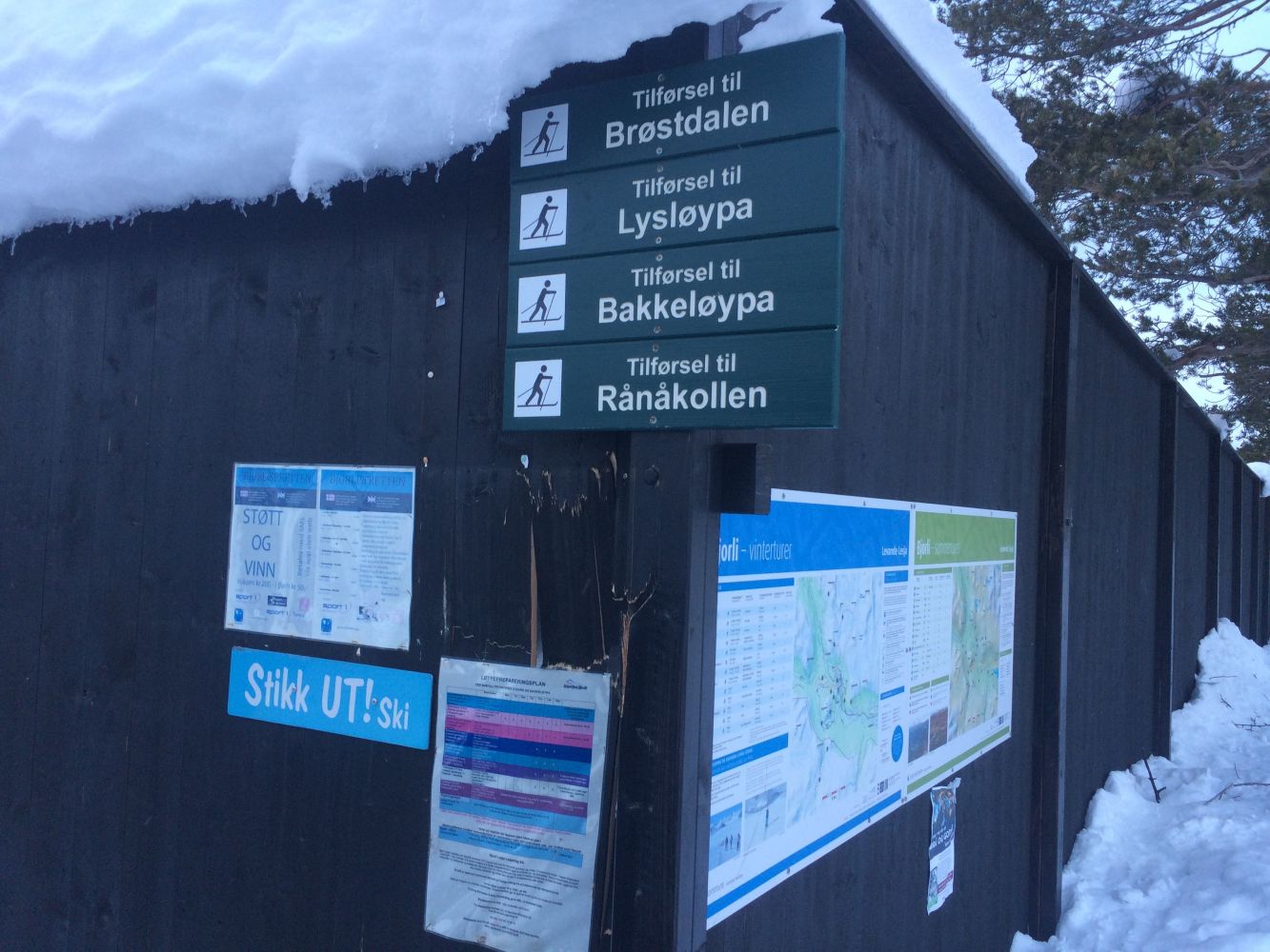
The ski trail runs from the recycling centre in Bjorli (just by the railway station) under the railway bridge and crosses the Rauma River before coming to an intersection of trails on a large field (after about 1 km). This is the start and the endpoint of the loop trail Bakkeløypa. The trail is described here in a counterclockwise direction, but you can move in the opposite direction as well. Turn right at the intersection and follow the ski trail that first runs through a flat terrain and then climbs uphill. Keep moving straight ahead (slightly left) at the intersection where the ski trail Brøstdalsløypa turns right. The Stikk Ut trail postbox is located at the highest point of the trail. After you stop by the postbox, there will be a short flat section before a long and winding downhill slope begins. The trail then flattens out again, and you can move further ahead until you return to the large field where the loop trail started.
The car park next to the Bjorli recycling centre (near Bjorli Railway Station) is the starting point of this trail. Drive for about 300 m along E136 in the direction of Åndalsnes from the roundabout in Bjorli (by the YX petrol station). Take the exit to the left where there is a free car park near the recycling centre and along the dead end street that goes west.
An alternative starting point for the ski trails Bakkeløypa and Brøstdalsløypa is the Bølia Ski Stadium. To get there, drive along E136 in the direction of Dombås from the roundabout. Follow the sign that points to the left towards Rånå after about 1.5 km.

 Driving directions
 Route data