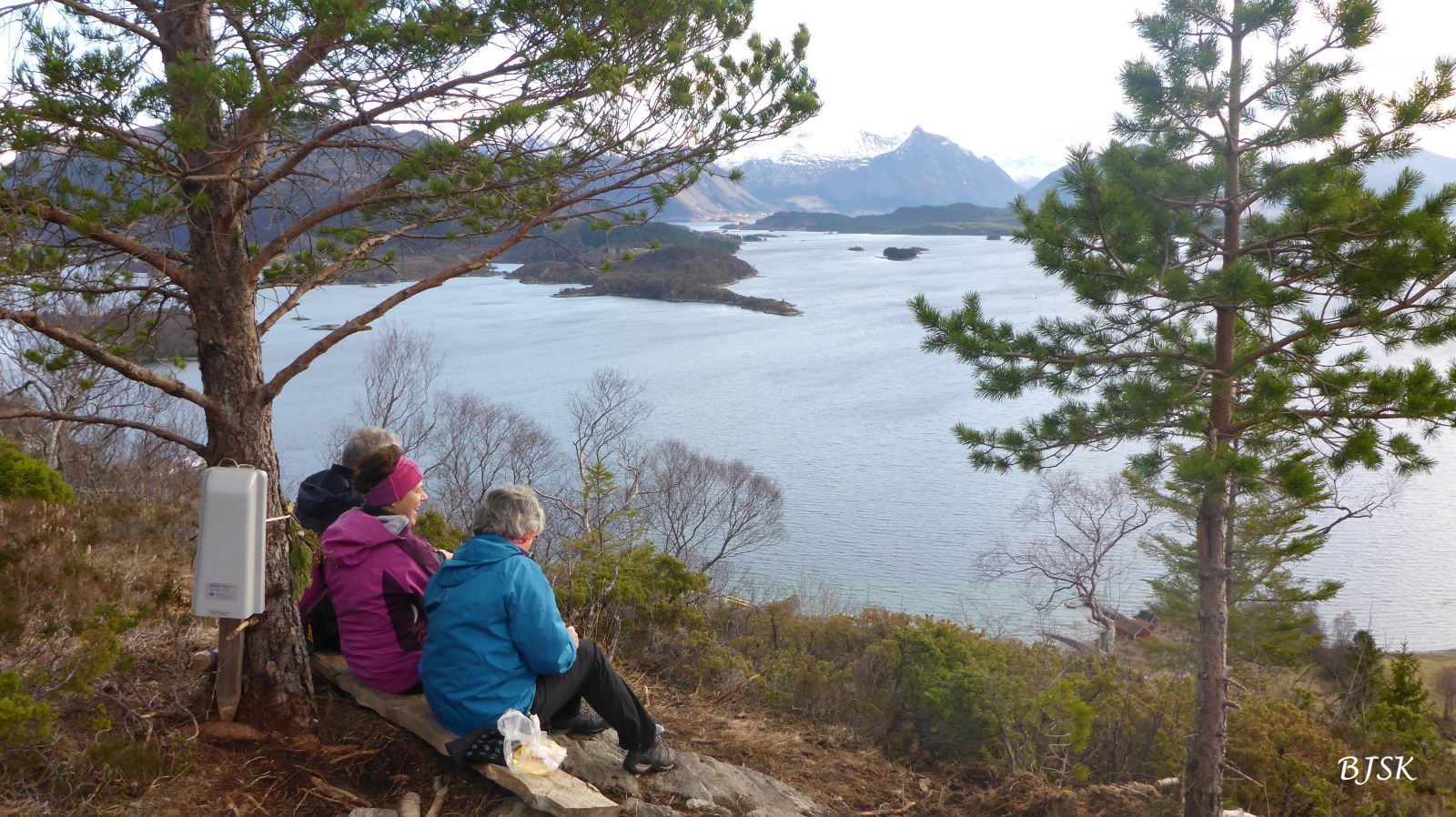
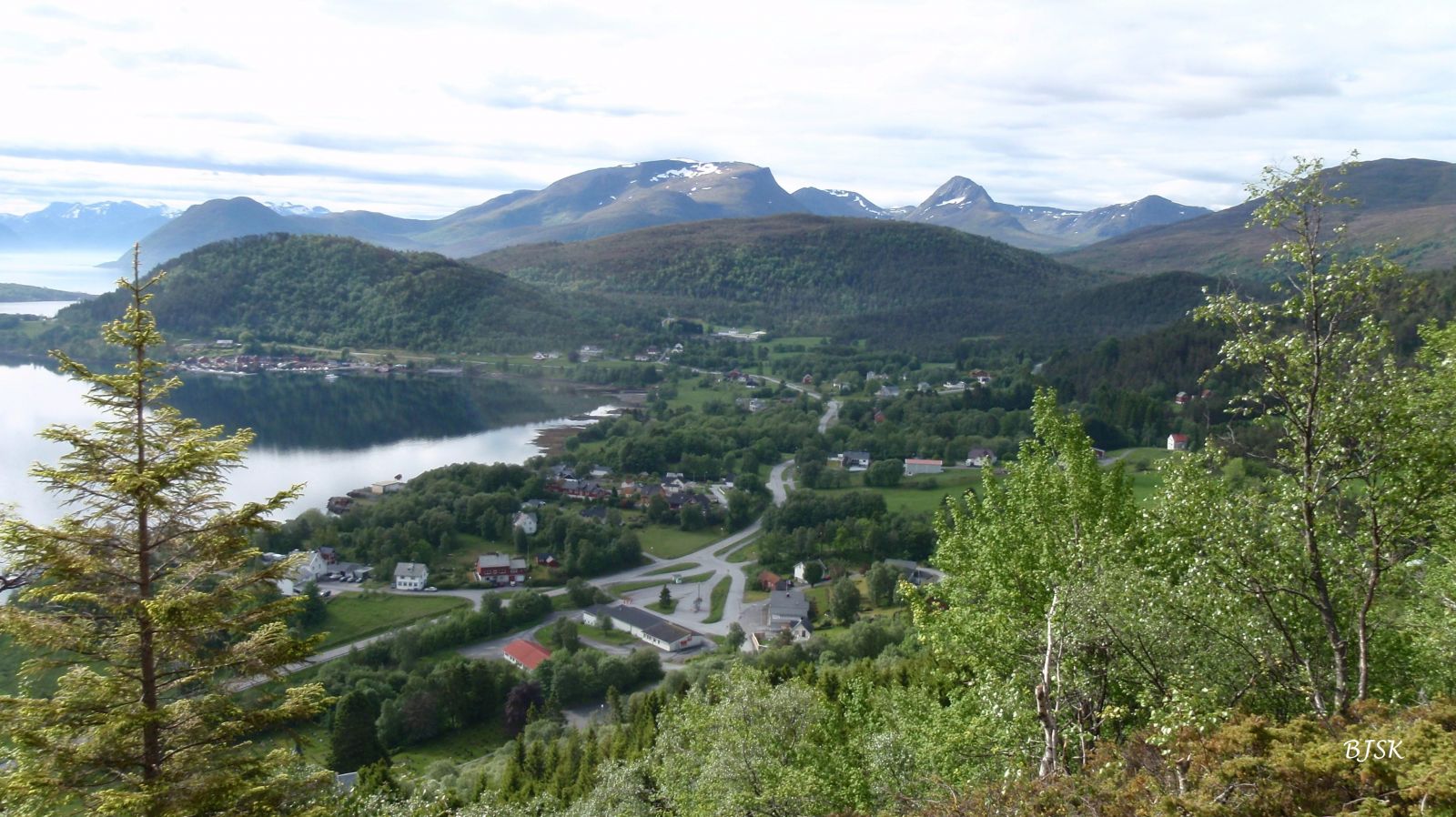
Bakkehammaren lies just above Leikong Church and offers a great view of Leikong, Leikongvikja, and the Sunnmørsalpane mountain range. The map below shows a scenic circular route.
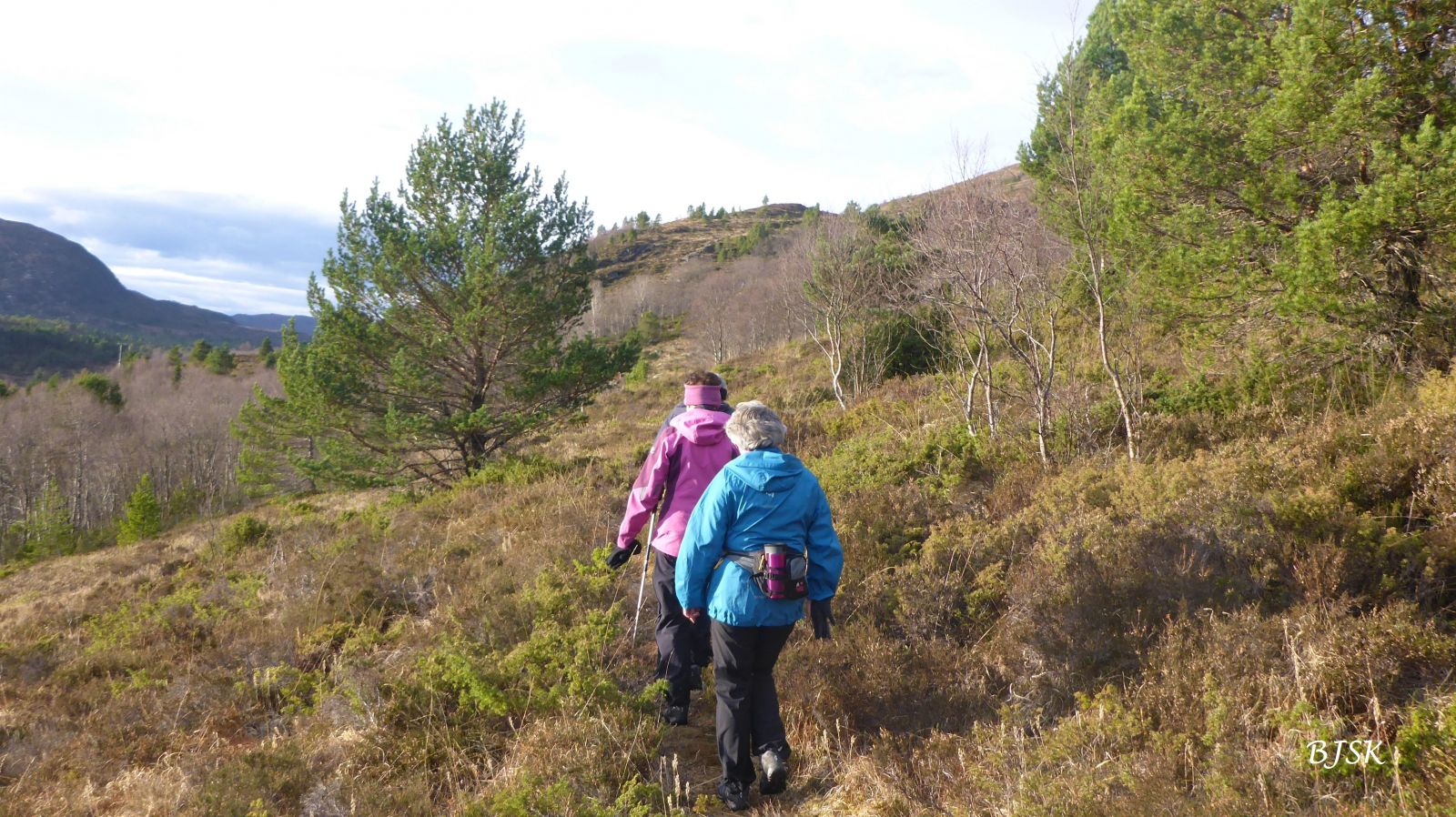
Walk for about 100 m down FV61 from the car park, cross the river, and take a tractor road to the left. Follow the tractor road until it takes a sharp turn to the left. Turn off that road and walk up straight ahead. The path takes you over the field and up through the forest. After the forest, follow the path east, past the stone wall, until you reach Bakkehammaren. On your way back, walk for about 50 m to the stone wall. The path continues on the northern side of the stone wall a little further up. Follow the path as it later turns southwest. Turn left at the junction and follow the path southwest. After crossing two rivers, continue along the path as it takes you down to the old road and walk down this road until you reach FV61 and the car park. Alternatively, you can park at Leikong Church and walk the path that begins there up through the forest. You will then come to the tractor road just before you need to turn from it.
Take County Road 61 (FV61) to Leikong Church and continue for 250 m up Leikongbakken until you reach the car park on the southern side of the road. Alternatively, you can park your car by Leikong Church.
Car park by FV61 250 m southwest of Leikong Church or directly by Leikong Church.
Duration
50 min.

Sesong
Spring, Summer, Autumn
| Surface type |
Distance |
| Asfalt |
0,5 |
| Sti |
1,3 |
Hiking map of Ytre Søre Sunnmøre, M711 1119 I and II, Sunnmorskart.no
 Driving directions
 Route data
GeoJSON