Grill Cabin in Vevang — Looped Trail
Hustadvika
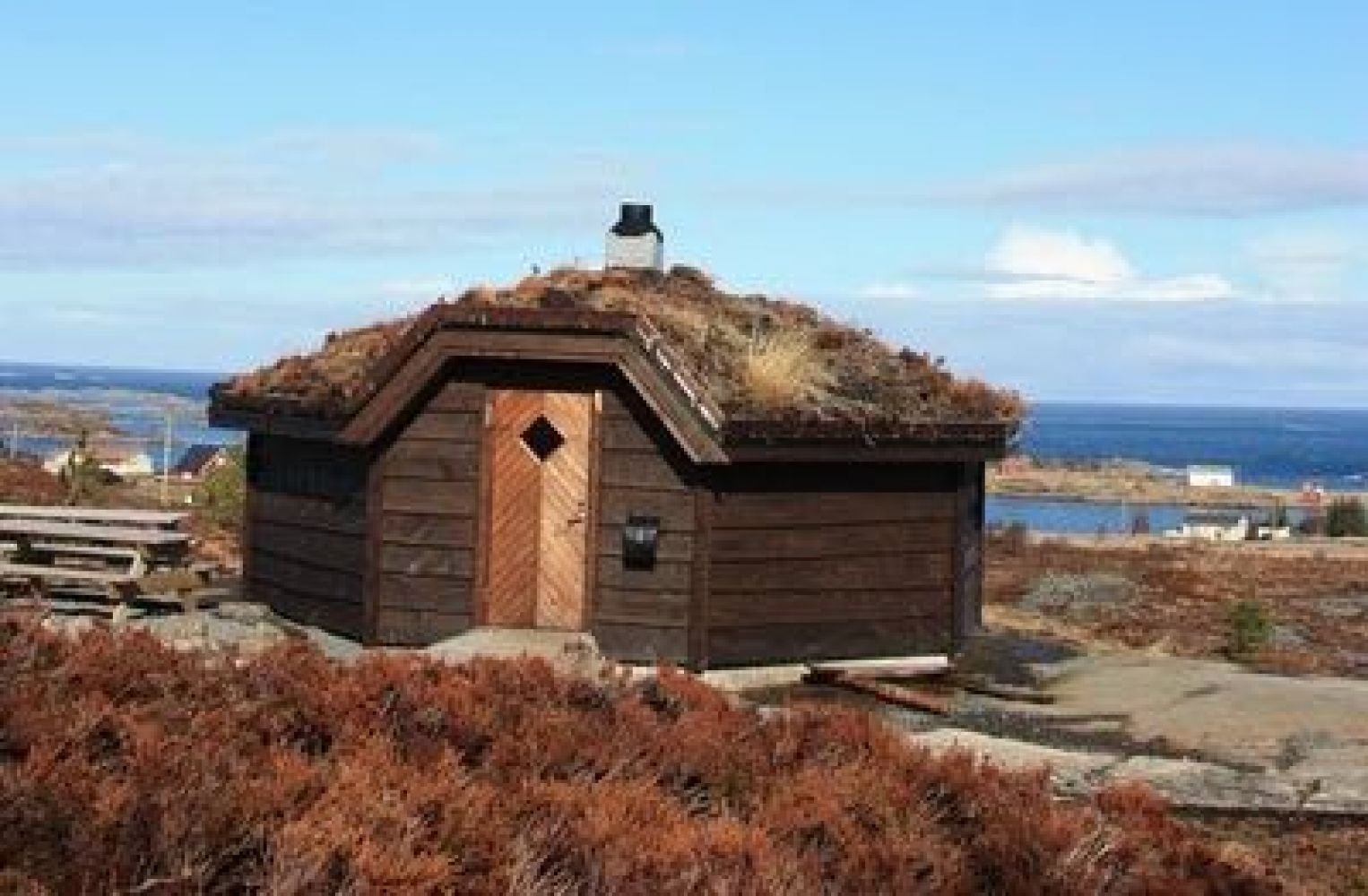
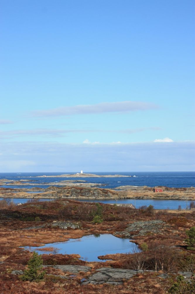
This tourist destination is easily accessible and offers a great view out to Hustadvika. You can also take a walk through some bunkers from World War II.
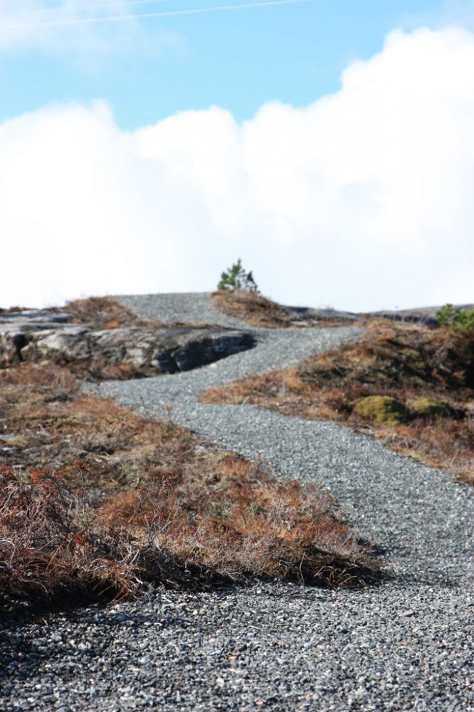
The trail starts at the car park near the chapel in Vevang. This area is right next to the old road in Vevang. From here, you can walk in two different directions.If you have any walking difficulties or you are walking with a baby carriage, we recommend that you go up the road, turn left and follow the road which later turns into a path until you reach the grill house. Half way through the trail you will see the Vevang coastal fort on your right-hand side.For everyone else we recommend following the asphalt road to the school and kindergarten. An asphalt path goes from the car park near the kindergarten to the kindergarten itself. This is where a gravel path starts. It swings up to the right and then left. Continue walking up this path. You will soon reach the top and enjoy a fantastic view of Hustadvika. Continue following the path all the way to the grill cabin.The grill cabin is owned by the Vevang Vel organisation and open to public. It is possible to lit a fire inside the cabin. Make sure to read the information available, use your common sense and leave the cabin the way you would like to find it yourself.The path continues further from the grill cabin. At this point you will see the Vevang coastal fort on your left. We recommend visiting the site.
The trail starts in Vevang, Eide municipality.
From Molde: Drive along National Road 64 (Rv64) to Eide and then further towards the Atlantic Road and Vevang. Once you come to the junction in Vevang, follow the road that goes roughly straight ahead — you are not going to the Atlantic Road and Averøy, so take the road towards Farstad to drive into Vevang instead. Take the right turn at the next junction. Drive for about 200 metres. You will see a car park on your left-hand side in front of the chapel.
From Kristiansund: Drive across the island of Averøy and the Atlantic Road. Once you come to Vevang, take the old road by the Coop shop. Follow this road. The car park and the chapel will then be on your right-hand side.
Park your car by the chapel. Free parking.
Distance
1,3 km both ways
Duration
20 min.

| Surface type |
Distance |
| Asfalt |
0,35 |
Bus connection to Vevang. Please see 177.no
Get off the bus at the Coop shop. Follow Sinagata street up to the chapel.
 Driving directions
 Route data
GeoJSON