Norsk

Austelidheida/Heida from Jetmundleitet/Kvilehytta – Route 62

Vanylven

The trail at a glance

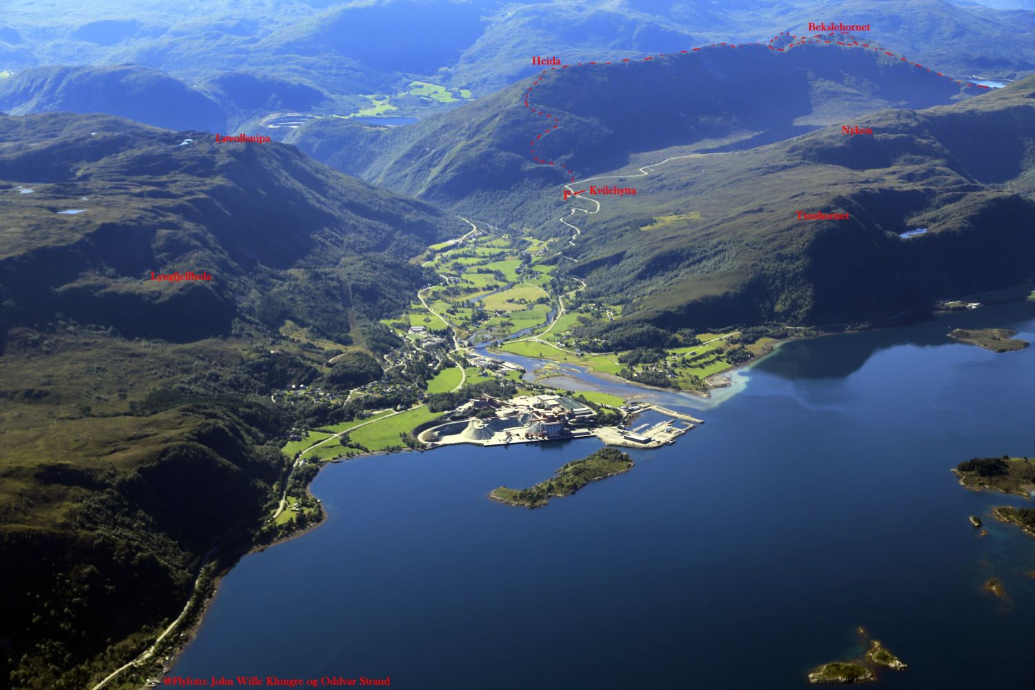
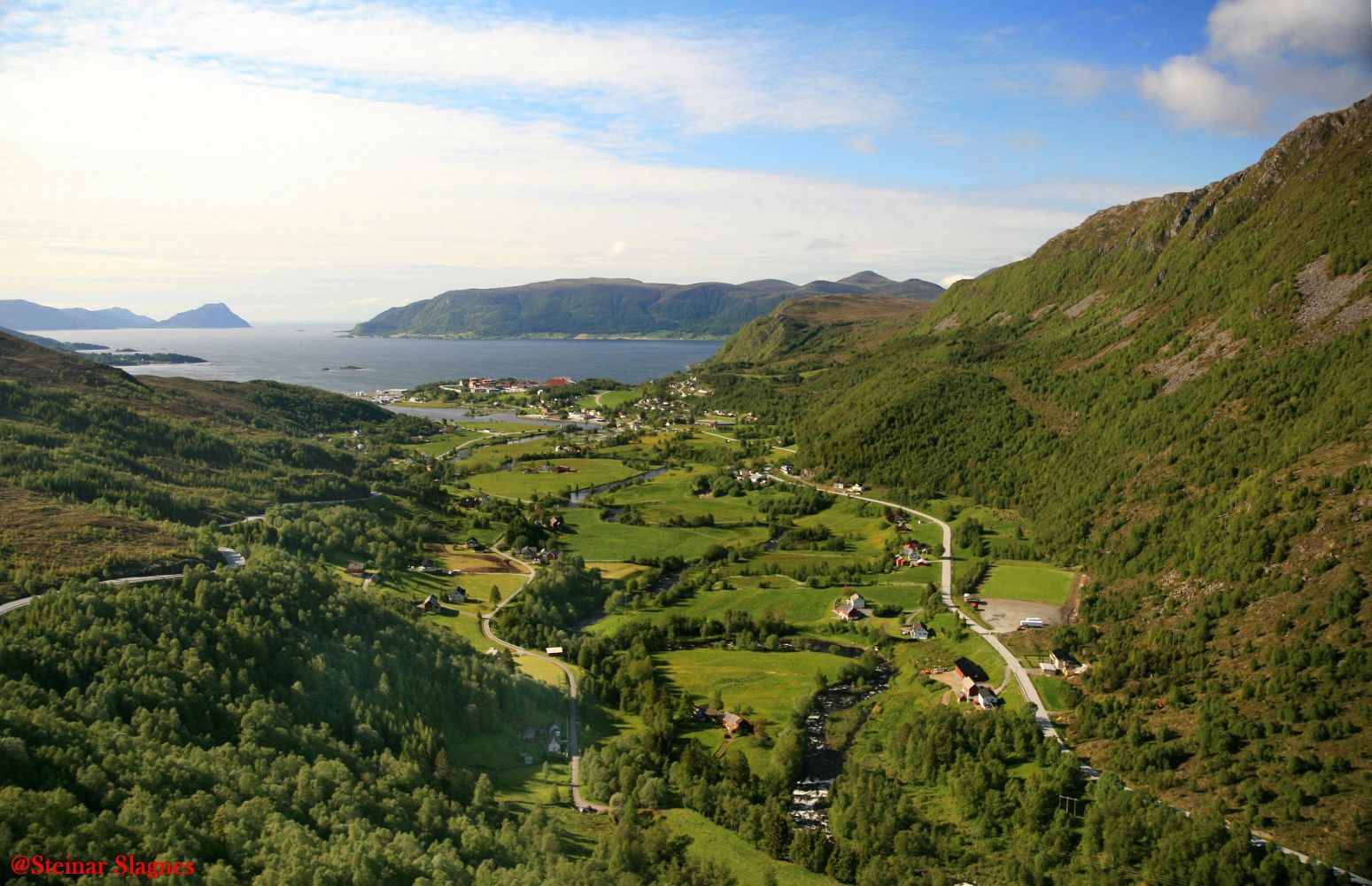
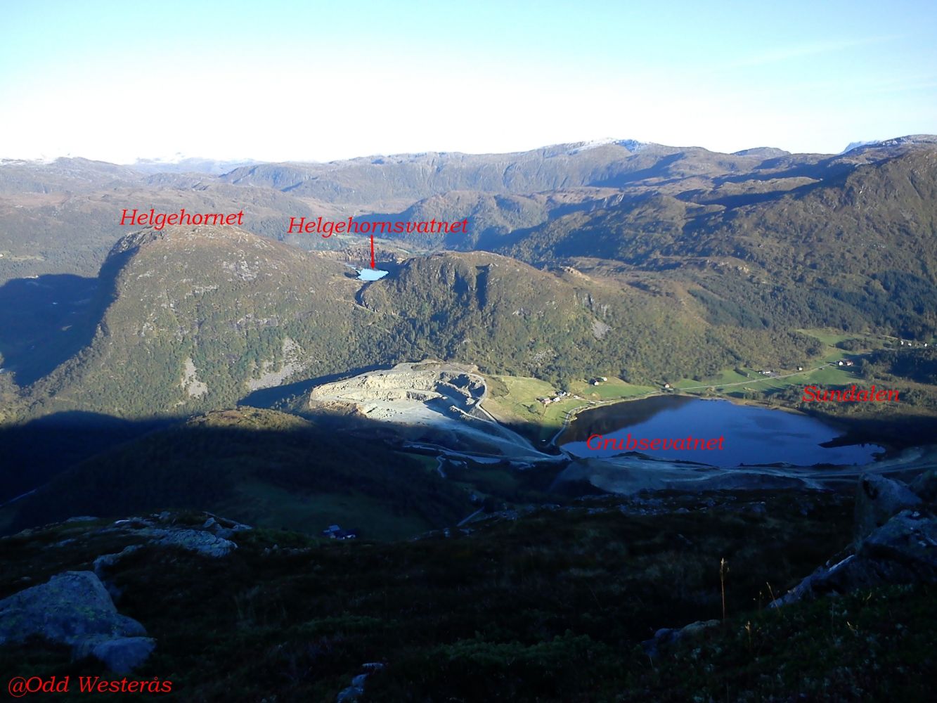
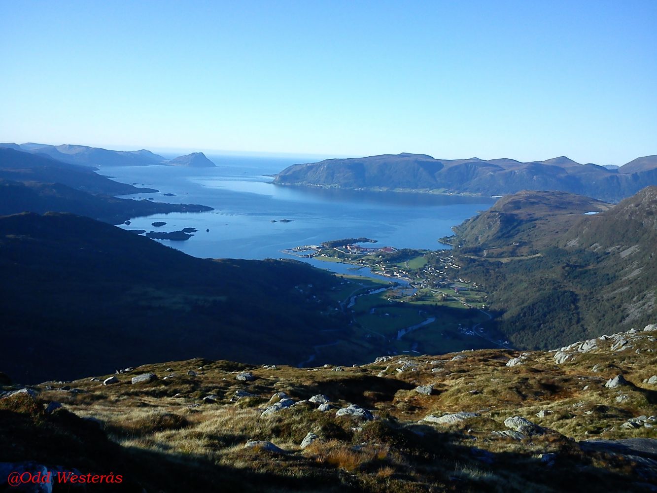
This trail involves a fairly steep climb from Jetmundleitet to a scenic viewing point, which offers a fantastic view over Åheim and the Vanylvsfjord. Feel free to take a detour to Jetmundsteinen (Eng. St. Edmund’s Stone) on the other side of County Road 61 (FV61) at the starting point of the trail.

Route description

The starting point of the trail is Jetmundleitet, 100 m after the sharp turn when you have passed Kvilehytta if you drive from Åheim. There is a sign at the start of the trail. The route is marked. Walk across the stone bridge over the river. Turn slightly to the left where the ascent begins. You will soon reach a small plateau that you should pass before climbing straight up for about 50 m. From there, turn right (south) and follow a small ridge for about 300 m. Turn straight up and then left before walking up the ridge and following it until you reach the top. The peak is designated as Austelidheida on the map, but the locals call it simply Heida. Return the same way. Alternatively, you can go towards Bekslehornet: https://morotur.no/tur/Bekslehornet-rute-62. Many people also walk in the opposite direction: from Beksle, up to Bekslehornet, along the ridge to Heida, and down to Jetmundleitet. For more information, please check https://morotur.no/tur/Bekslehornet-Austelidheida-Heida-rute-62 

Access and parking

The trail starts from Jetmundleitet. From the junction in the centre of Åheim, drive south along FV61 in the direction of Måløy. Follow the road as it bends up towards Maurstadeidet. You will reach Kvilehytta Café 2.7 km after the junction. You can use the well-maintained car park free of charge and enjoy good food and drinks here after the hike. From Kvilehytta, follow FV61 for 300 metres further ahead, and you will find the starting point of the trail on the left side of the road 100 m past the sharp turn.
Hiking route
Blue
Distance
1,63 km one way
Elevation
451 m
Duration
2 t. 0 min
Highest Point
637 masl

Map route

Surface type Distance
Sti 3,4

Map

Hiking map: På tur i Vanylven (Eng. Hiking in Vanylven) – can be purchased at local shops and petrol stations in Vanylven Municipality.
Driving directions

API endpoints

Route data GeoJSON