Norsk

Ausa – Syltedalen

Vanylven

The trail at a glance

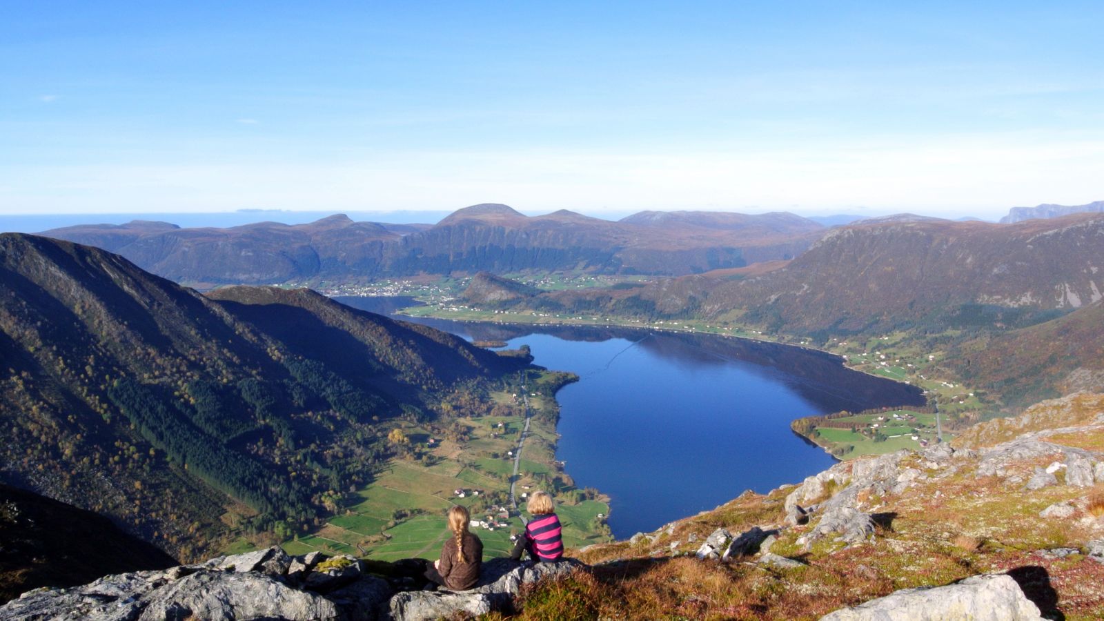
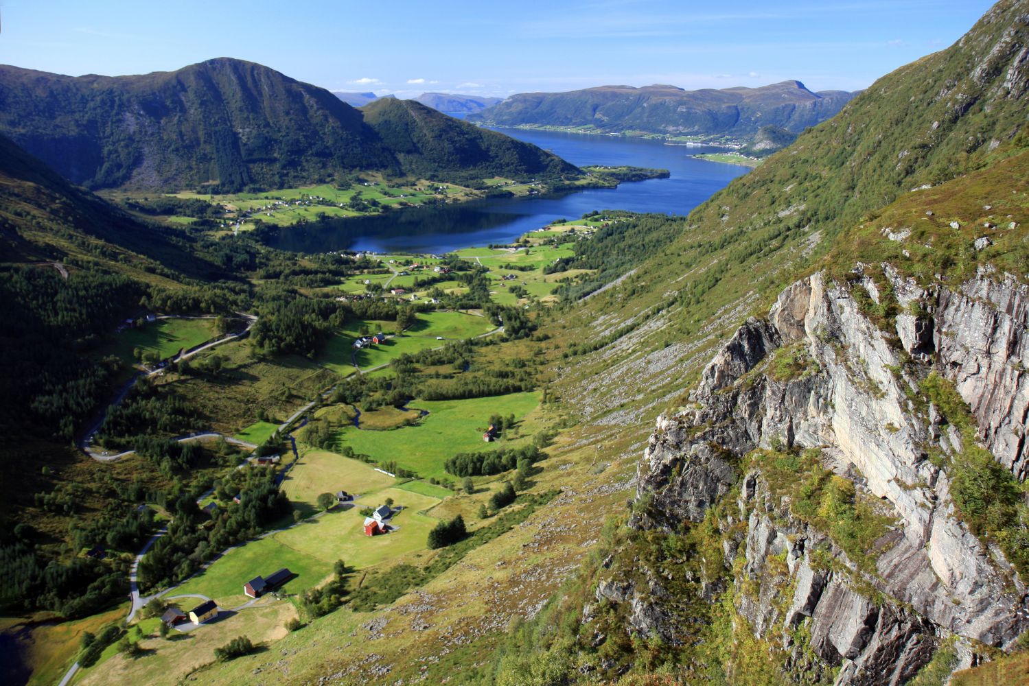
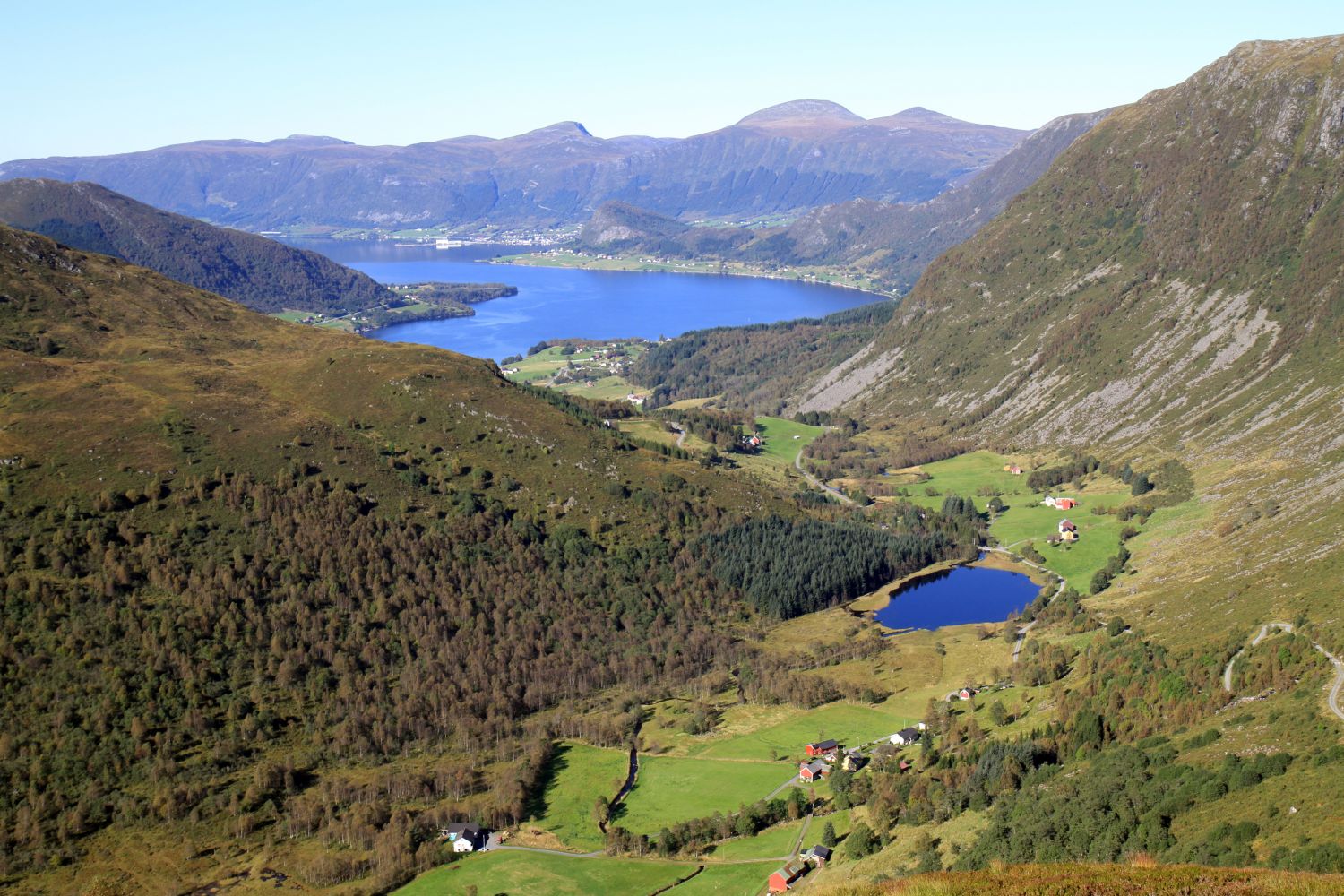
This short and easy trail follows a gravel road and is suitable for hikers of all ages. It takes you through the beautiful cultural and natural landscape of the Syltedalen Valley. The destination of this hike is a trail postbox at the end of the road. You will see the signs for Budalen and Syltehornet at the starting point.

Route description

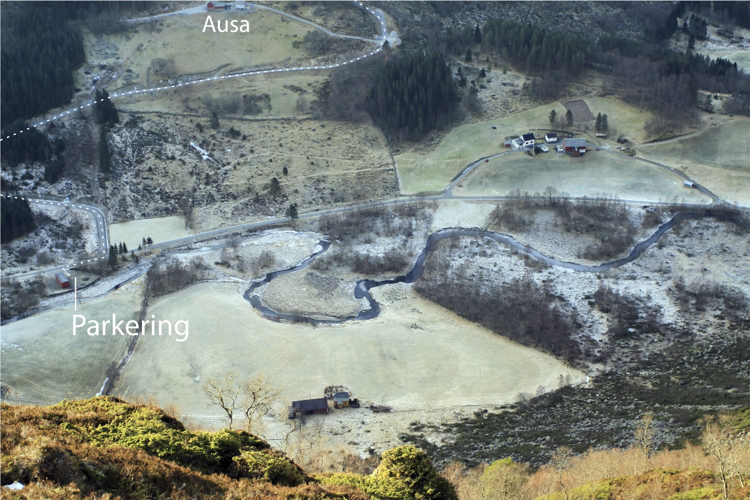
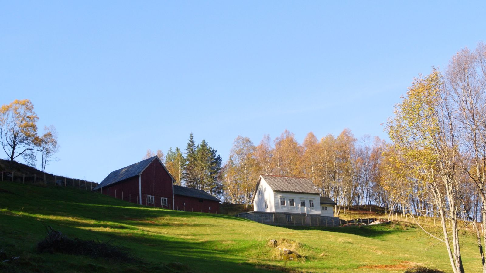
You will walk past the old mountain farm Ausa surrounded by several cultural sites. You can see the stone walls of barns and calf nurseries as you walk further. Øvre Brekke, or Ausa (as referred to by the locals), is a mountain farm where the first activities started at the end of the 1500s. Many families had lived on the farm, but it was deserted for a long time and used only sporadically and after a fire in the 17th century. The farm was rebuilt in the 19th century, and since then it was inhabited until the 70s. Today, the farm is restored with great diligence. Take a moment to stop by the beautiful old buildings and think about the past while looking at Slåttelida and Furenakkjen in the distance. It is also possible to continue walking after reaching the trail postbox at the end of the road: http://morotur.no/Morotur/Turar/Syltedalen-Syltehornet-Ekremsdalen  

Access and parking

Turn off the main road in Sylte and drive up to the Syltedalen Valley. Park your car by the large red garage for milk trucks in Ausemyrane. No parking fee applies. The starting point of the trail is marked with a sign.
Hiking route
Green
Distance
1,17 km one way
Elevation
174 m
Duration
1 t. 5 min
Sesong
Winter, Spring, Summer, Autumn
Highest Point
274 masl
Signage
Signed

Map route

Surface type Distance
Grus 2,3

Map

På tur i Vanylven (Eng. Hiking in Vanylven) – can be purchased at local shops and petrol stations.
Driving directions

API endpoints

Route data GeoJSON