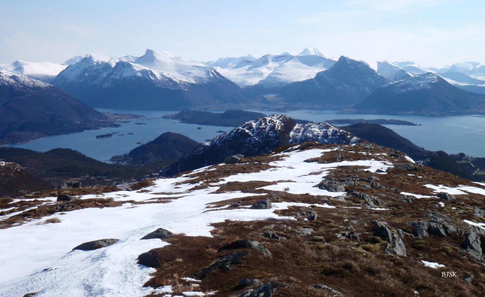
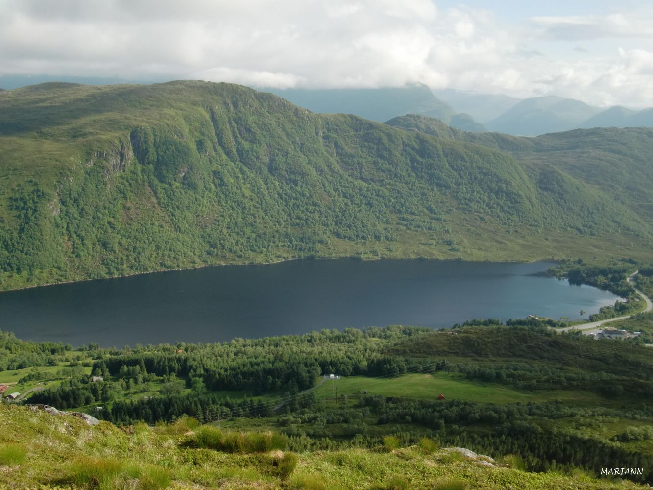
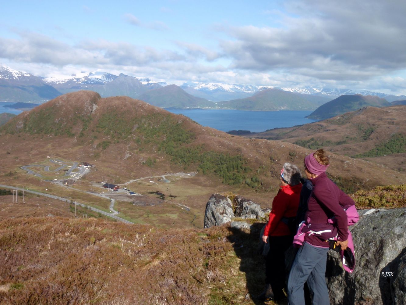
Aurvollegga is a rarely visited peak between Aurvollen and Røddalen. From Aurvollegga, you can see the Sunnmørsalpane mountain range, Lake Skogevatnet, and the mountains of Vanylven. Raudegrøten, an olive deposit, is also clearly visible between Aurvollegga and Brekkeherda.
The starting point of the path is between the exit road to the shooting range and the bridge Røddalsbrua. Walk north for 100 m and continue west along the highest ridge all the way up to the peak of Aurvollegga. The path is poorly defined but easy to walk on.
The trail starts from the shooting range / Gocartbana, a go-kart track on the south side of County Road 61 (FV61), at the road’s highest point in Leikongeidet.
Park your car by Gocartbana or the shooting range.
Duration
1 t. 20 min.

Sesong
Spring, Summer, Autumn
Signage
No signage or markings
| Surface type |
Distance |
| Sti |
3 |
Hiking map of Ytre Søre Sunnmøre, M711 1119 II and III, Sunnmorskart.no
 Driving directions
 Route data
GeoJSON