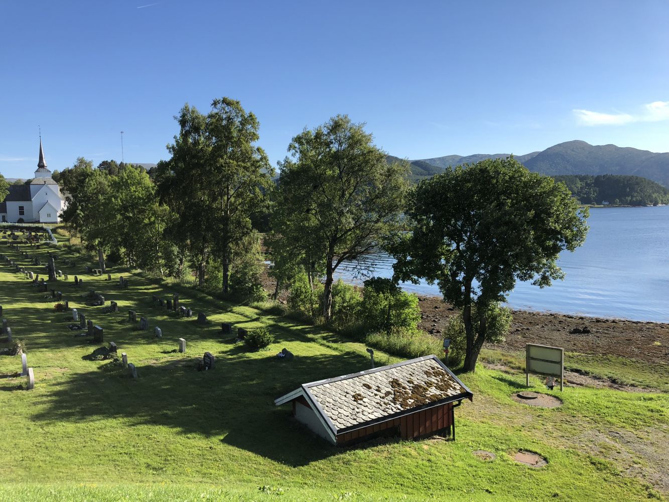
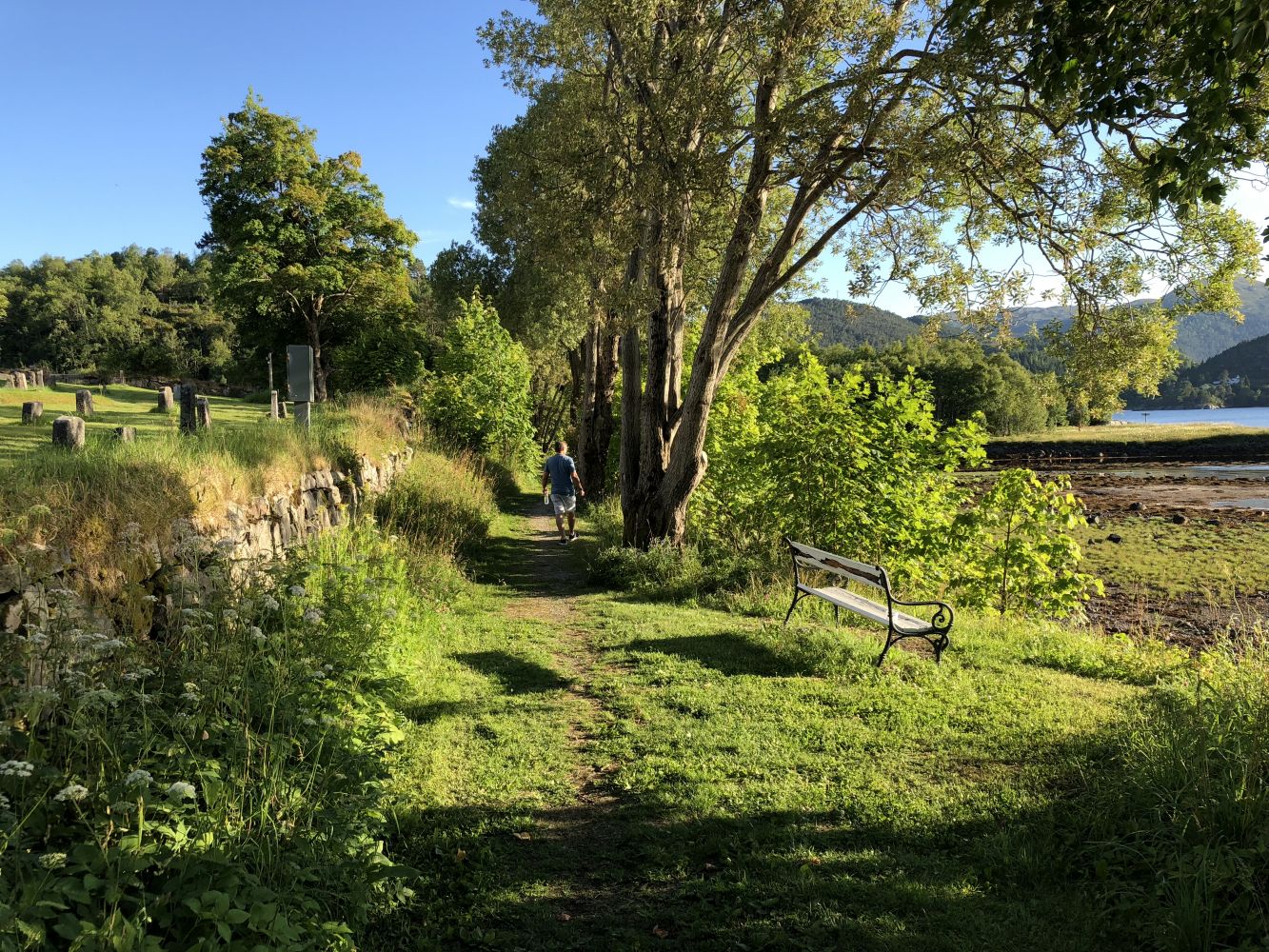
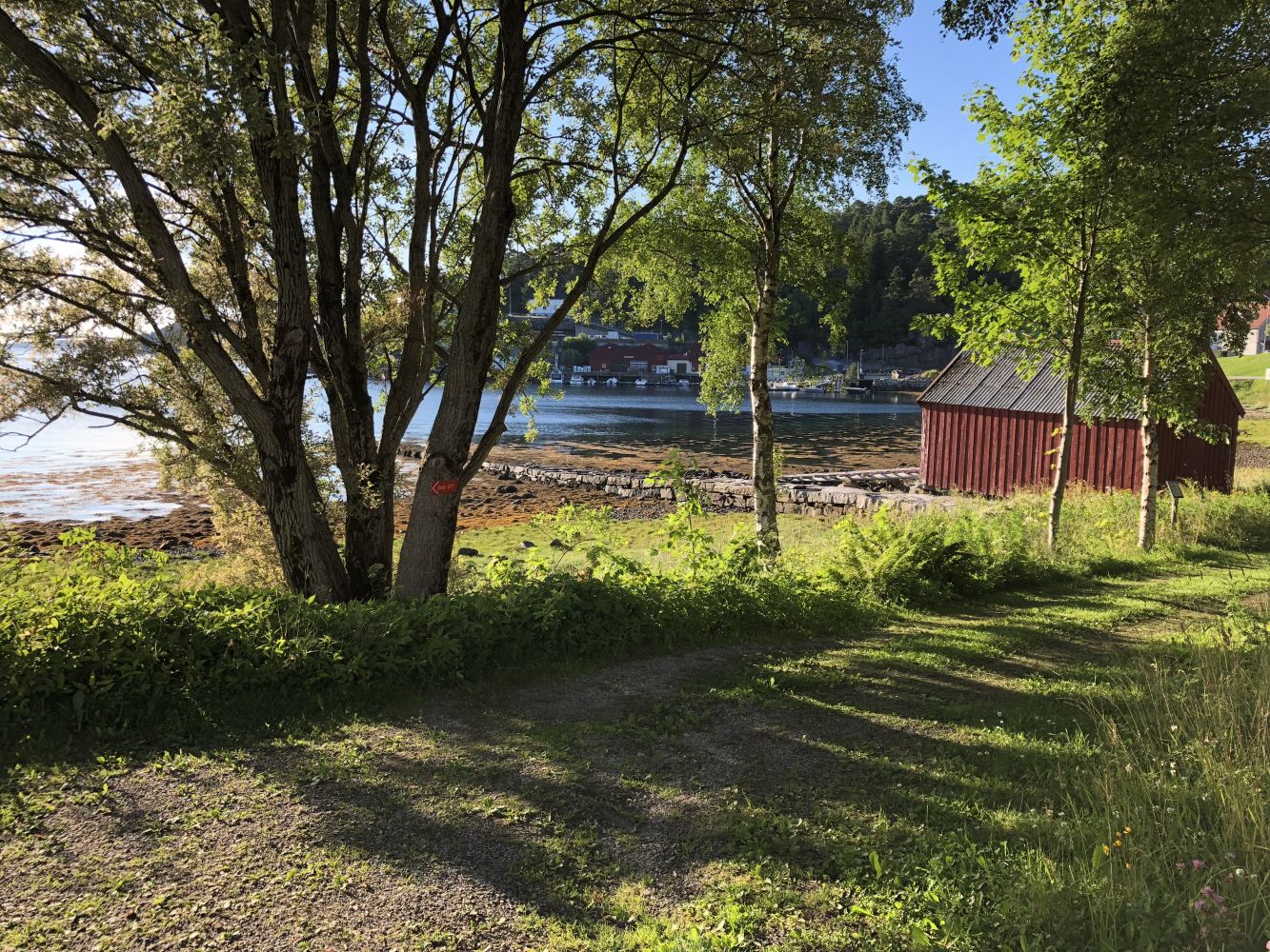
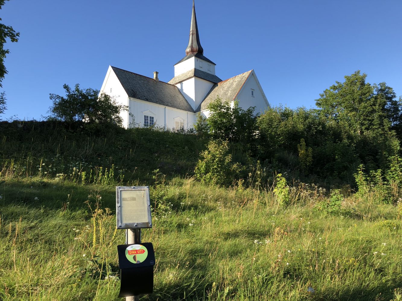
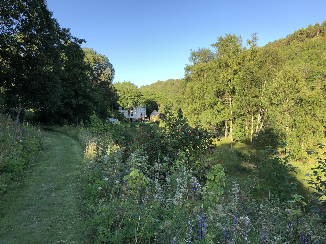
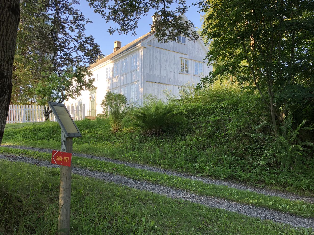
An easy trail along the shoreline and the Aureelva river in the centre of Aure. The trail goes around the Aure church, via the quay and the boathouse, the old Aure vicarage and the old municipal hall which is home to the Aure artists association. Look for the signposts along the trail to learn about local cultural sights and vegetation.
Route description
The trail surface is firm ground, mainly gravel and grass. It is about 1.5–2 metres wide.
Access and parking
At the roundabout near the Kjelklia hill, turn in the direction of Todalen/Aure Centre, County Road 680 (FV 680) in Aure. In a short time, right after you pass a tunnel you will reach the centre of Aure. Continue straight ahead towards the Aure church. Walk across the graveyard heading to the right and you will find the starting point of the trail in front of the red-coloured pump house of Aure municipality.
Free parking by the Aure church.
Hiking route
Green
Distance
0,48 km one way
Elevation
12 m
Duration
20 min.
Sesong
Winter, Spring, Summer, Autumn
Lysløype
Deler av turen
Highest Point
13 masl
Map route
Surface type
Distance
Sti
0,2
Other
There are plans to develop the trail in 2018 so that it meets fitness trail standards. Occasional construction works on the trail are possible. It will be easy to find an alternative route.

 Driving directions
 Route data