Aukraskogen - Horremsleira
Aukra
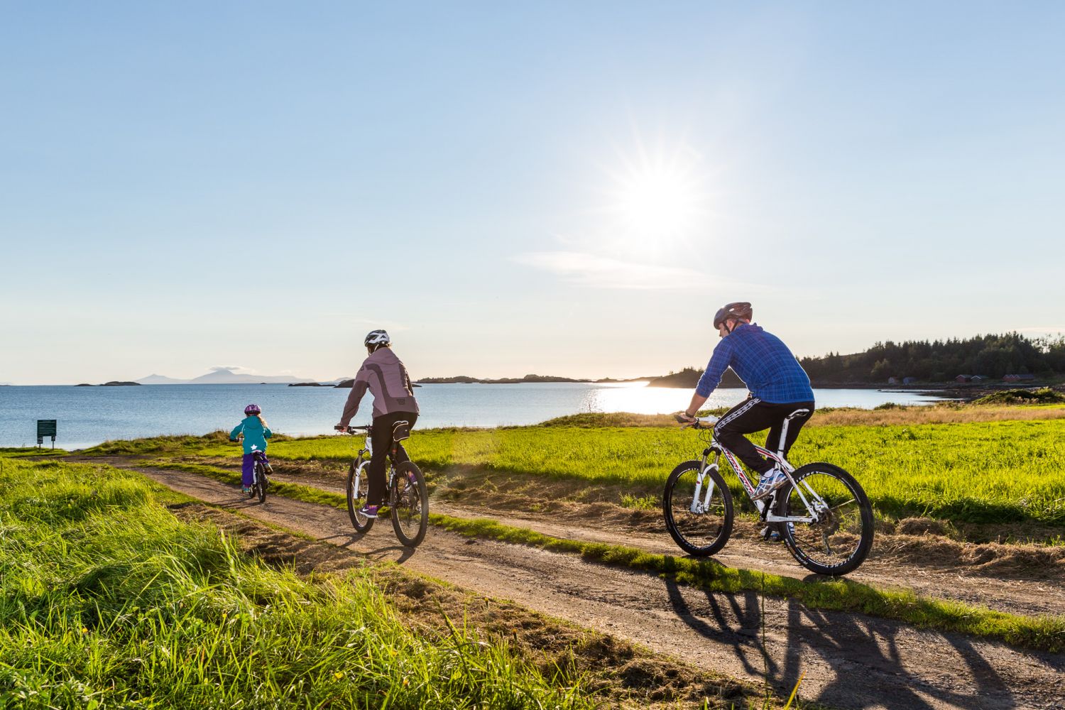
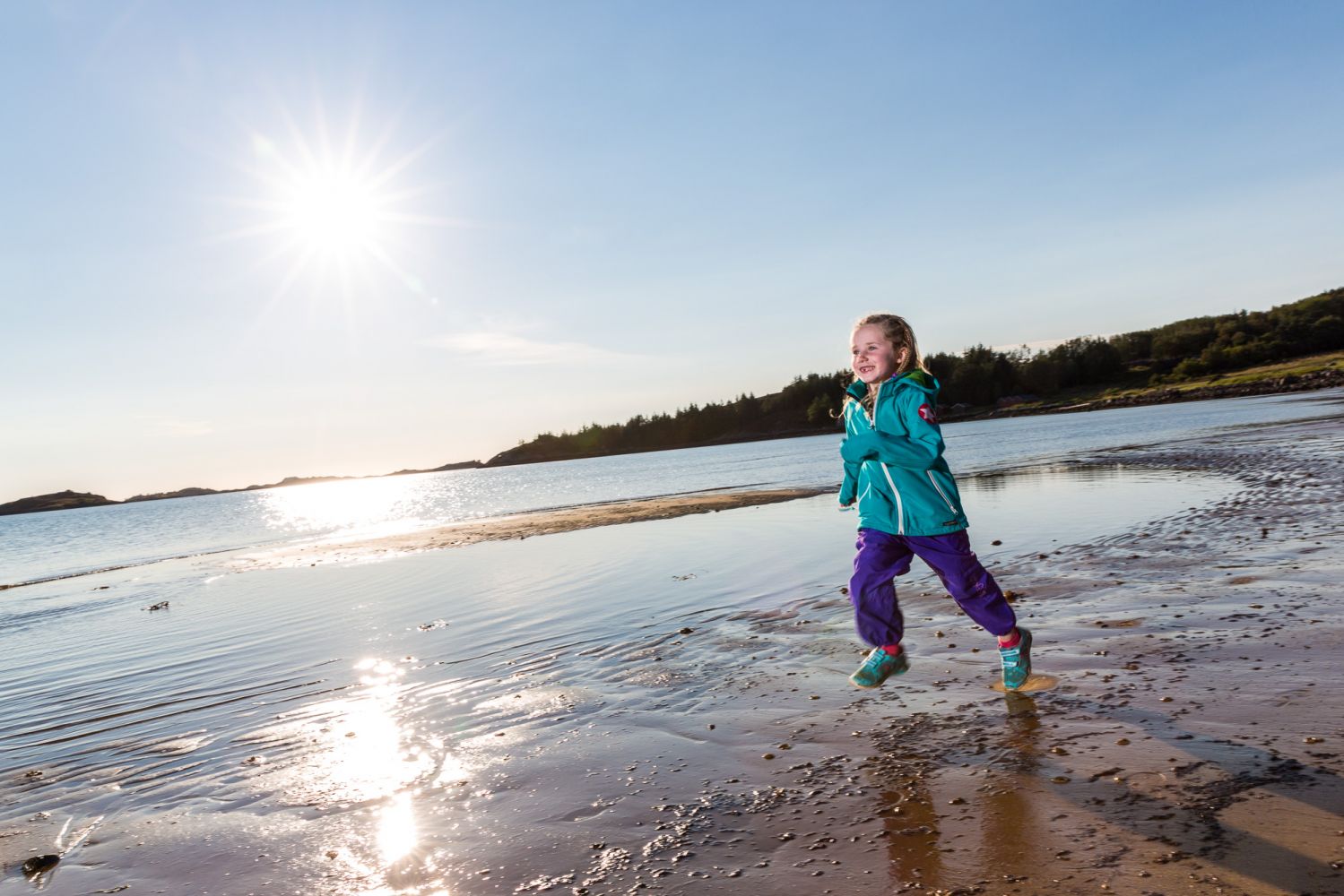
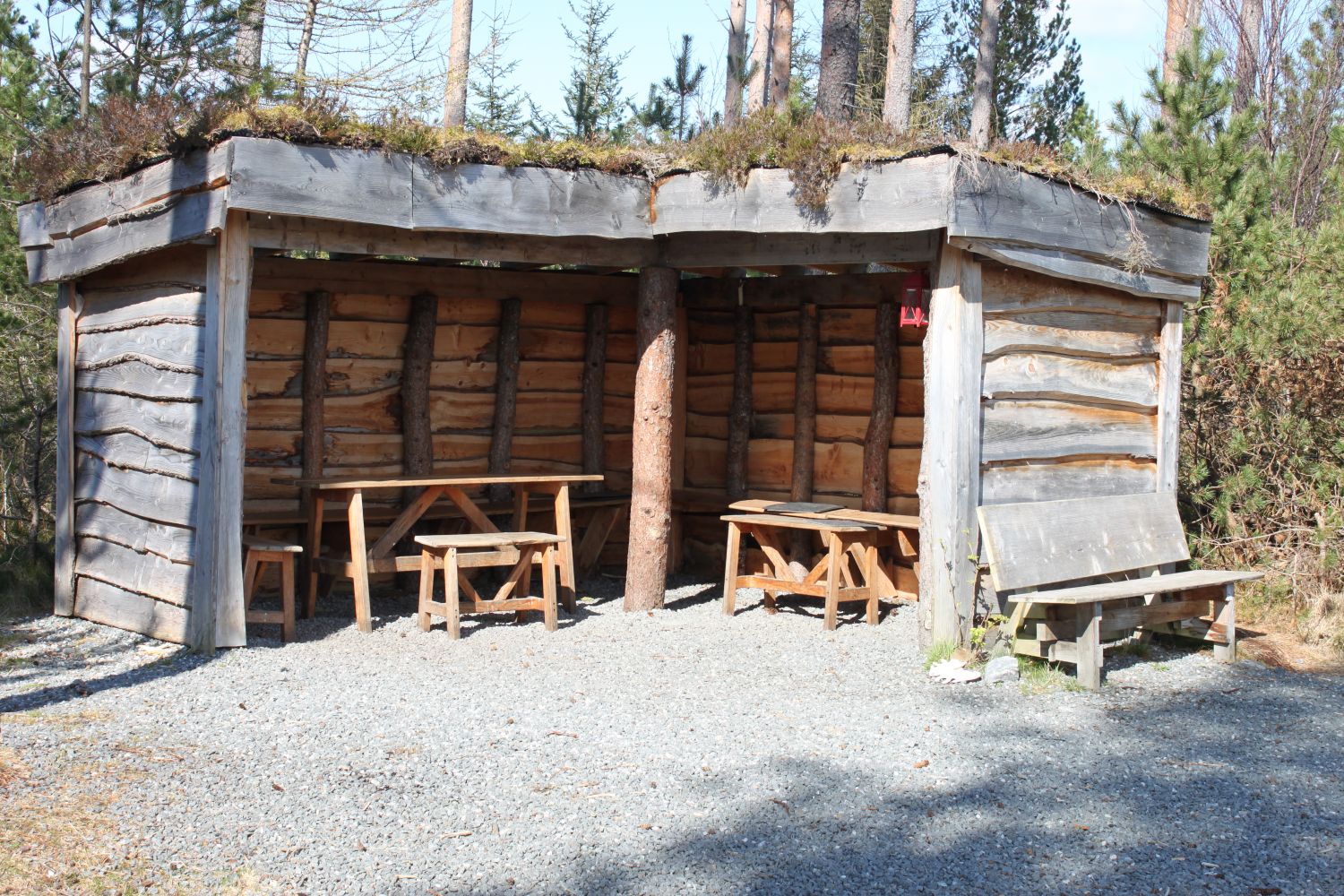
This is an easy and enjoyable cycling route on Gossen island for the whole family. Aukraskogen is the world's northernmost beech forest. There are several good hiking and cycling trails in these woods. Several boards with information about plants and animals are posted along the trails. In the middle of the forest, there is a lean-to constructed by the community group Friends of Aukraskogen. This is a good place to stop your bike and have a bite to eat. Horremsleira is one of Aukra municipality's most popular swimming beaches. Beautiful area that can be reached by both trails and roads. The lean-to and toilet facilities are open to all visitors. Horremsleira beach is child friendly with shallow water quite far out. From Horremsleira, there is a trail leading along Bakkeelva river and up to the Horrem millhouse. Aukra ferry quay is a good starting and ending point for the route. This is a good round-trip trail. Alternatively, you can continue the route from Horremsleira to the Småge ferry quay and cycle onward across the islands of Romsdal.
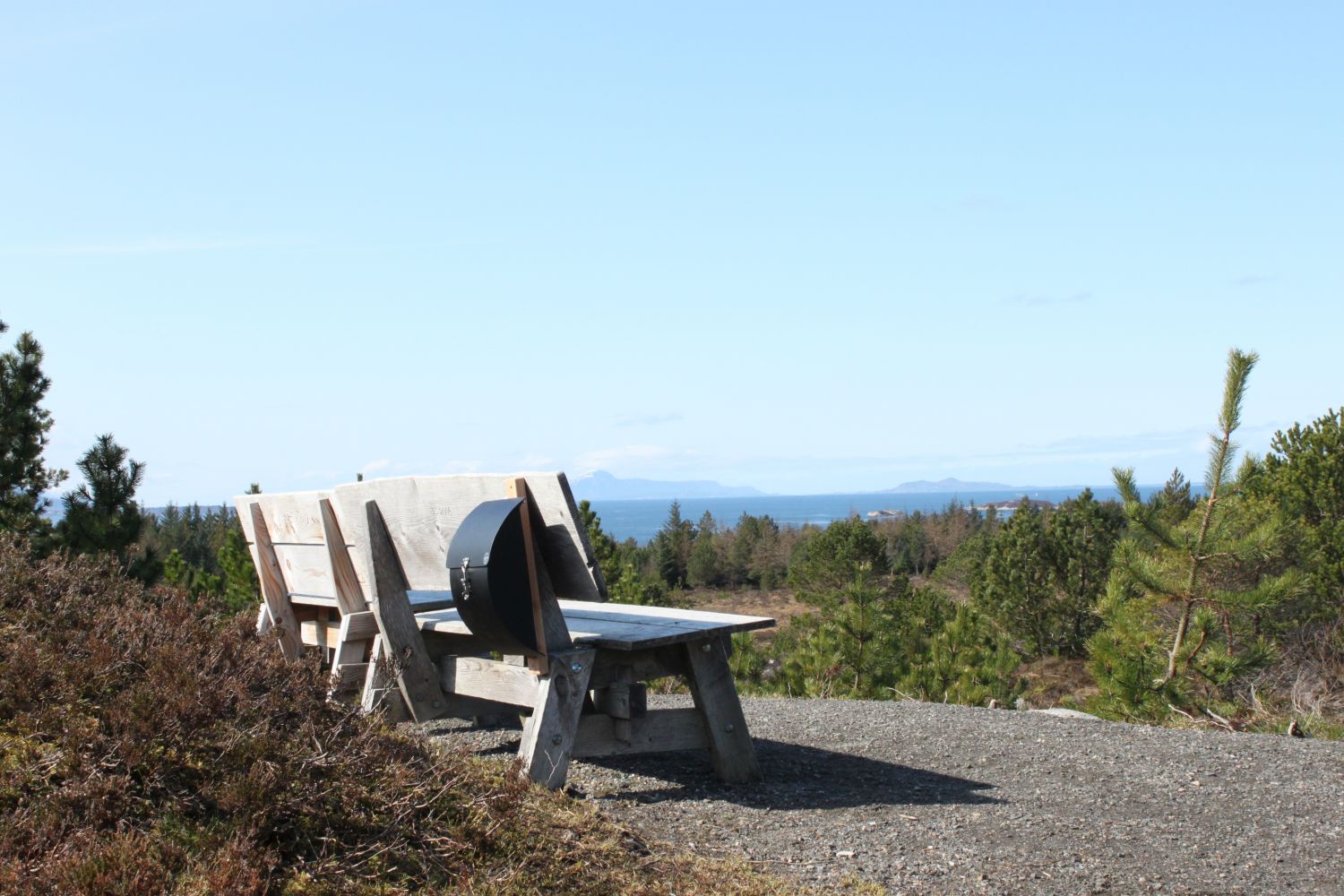
Ferry from Hollingsholmen (route 31). This route starts at the Aukra ferry quay. Take the pedestrian and cycling path up to Aukra church. At Aukra church and Aukrahallen, turn left and follow the gravel trail up to the woods. Continue straight along the trail to the highest point. At the highest point, the trail will divide. To the left is the lean-to. The trail straight ahead leads to Berghaugen with views of the neighbouring islands. The woods has many different trails. Try them! From Berghaugen, continue along the Tangen trail. This is a nice loop about 2 km in length. Follow the signs to Breivika and continue your cycling trip out to Tangevegen. After about 300 metres you will come to a crossroad. Turn left at the crossroad and continue onto Hjertvikvegen. You will eventually pass the Hjertvika nature reserve on your left. Follow the main road straight on until you come to Horrem. There are signs to the Horrem millhouse along the main road. Turn left and follow the road to the millhouse and then on to Horremsleira. On the route back to the Aukra ferry quay, you can follow the main road along the water the entire way. Stay to the right and follow the signs for Hjertvikvegen and Tangevegen. Here you will be able to see the ocean the entire way. Alternatively, you can do an extra round on one of the many trails in the Aukra woods before ending the route at the ferry quay.
The route starts from Aukra ferry quay. Take the ferry from Hollingsholmen to Aukra (route 31).
Parking at Hollingsholmen and Aukra ferry quay. No parking fee.
Biking route
Blue landevei
Distance
12,94 km one way
Duration
1 t. 20 min.

Sesong
Spring, Summer, Autumn
| Surface type |
Distance |
| Asfalt |
9 |
| Grus |
4 |
Bus by Aukra Auto or Atlantic Auto from Molde to Hollingsholmen.
Ferry Hollingsholmen - Aukra (route 31) with Fjord 1.
There are cultural heritage sites from the Second World War in several places.
The daffodil field by the church is protected and in the spring (April/May), thousands of beautiful daffodils bloom here.
 Driving directions
 Route data
GeoJSON