Aukan: The Labyrinth
Smøla
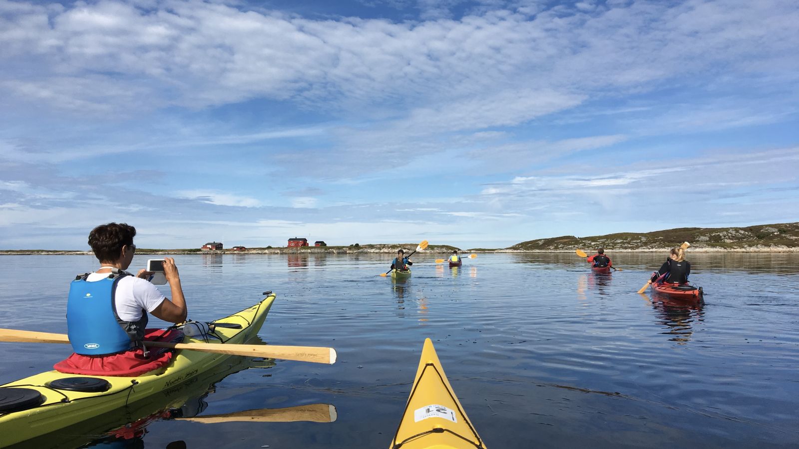
A paddling route in an area of mostly islets and reefs on the west side of Smøla. There are a few houses on some of the islands, but mostly the remains of houses from a bygone era when a short distance to food from the sea was essential. You will also pass Brattvær church on the route. The church stands at the edge of the sea, as it was easier at the time to transport timber along the sea route. The church is still in use.
On the west side of Smøla, the islets and reefs are plentiful. Tides change the landscape from hour to hour, so navigation may feel challenging. This can easily be viewed as a labyrinth for paddlers. But if you paddle into a bay you can't get through, just paddle out again and try the next bay.
The sea lane leads through the area, so look for sea markers as these will help you navigate. There are few boats in the area, and the sea lane is narrow, so it is easy to paddle outside the sea lane.
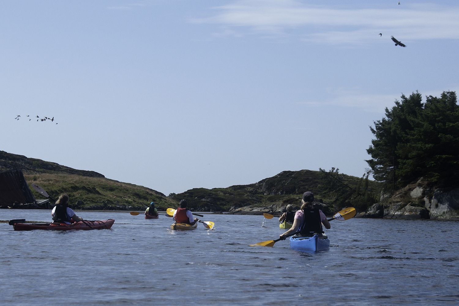
At Aukan it is easy to launch a kayak regardless of the sea level, and there are parking spaces for cars. You can paddle for a long time in this area as it is very sheltered. You don't need to follow a route. Enjoy the peace and nature and allow yourself to be led through the labyrinth. It can be exciting to see what turns up behind the next islet. Perhaps you'll spot a coween, common eider or a flock of cormorants. If you're brave enough to continue westward towards the open sea, you may also see a grey seal.
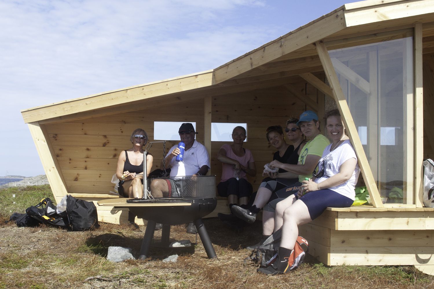
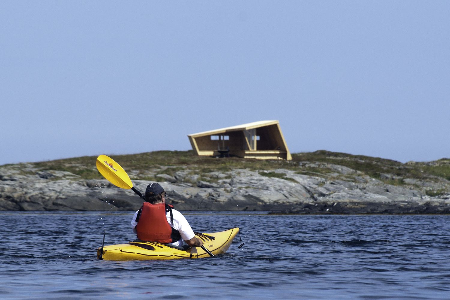
A good place for a break and overnight stay is the island of Svanøya. At the south end of the island is a lean-to designed by the architect group Biotope AS. Here you can spend the night and enjoy a campfire. It is easiest to go ashore at the floating dock on the east side of the island. There is room for three to four people to sleep in the lean-to, and there are many good spots nearby for pitching a tent. This is the perfect place to see a sunset. There are also amazing views of the open sea, the Skolmen mountain, the Trolltindene mountain range, and the fishing villages to the south, such as Grip.
The route leads through Villsaugården to the south. Here there is a floating dock and a restaurant in the summer months.
Be aware of your skill level here as the weather changes quickly and the wind can suddenly become strong. Check the wind warnings in the weather reports and let others know where you're going.
Smøla, with its 6000 islands, islets and reefs is a fantastic destination for paddlers. It is easy to go ashore on most of the islands, and you can paddle around them without even meeting anyone else. There is a good chance you'll encounter an eagle, since this area has the largest eagle population in the country.
Parking on the side of the road to the right if you are driving south from Råket on the FV6200. It is exactly 2.2 km from the shop at Råket to the parking area. There is room for 3-4 cars. Kayaks can be launched from the beach. We recommend that you don't leave your car for several days, but one day is fine. You can also launch your kayak at the wharf facility and shop at Råket. The wharf facility is a good starting point, but it is more exposed and it may be difficult to find parking during the summer.
Distance
11,84 km one way
Duration
3 t. 10 min.

Sesong
Spring, Summer, Autumn
Download the Fram app for bus schedules. Buses rarely stop on the west side of Smøla.
 Driving directions
 Route data
GeoJSON