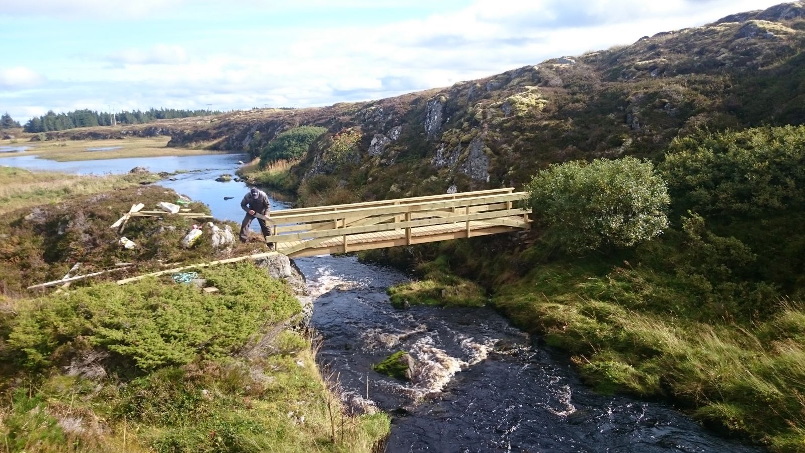
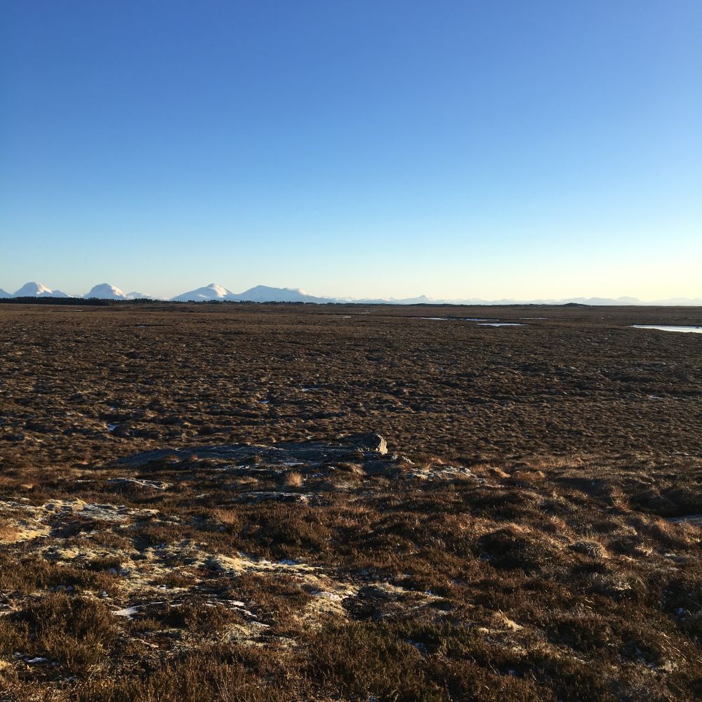
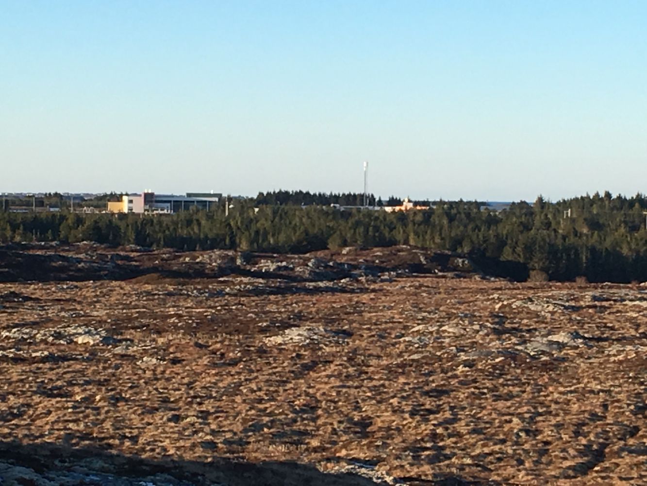
The trail goes into the Hopaelva nature reserve. This is where you can enjoy the nature of Smøla at its best. As it goes up across the river, the trail takes you through moderate terrain up to the viewing point Årvoksberget.
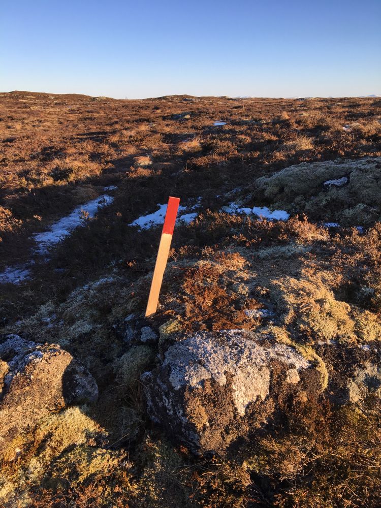
We recommend that you park your car next to the youth centre in Hopen. From there, walk along the old road until you almost come back to the county road. You will see a trail postbox by the old pump house. This is Kasthaugan. There is also a sign for the path to Årvoksberget here. The path is clearly seen and additionally marked with small posts in the ground with red marks on top.
If you come from the outside of the area, your first encounter with Smøla will be the island of Edøya. From there, drive to the other side of Smøla Island in the direction of Hopen. Once you reach the junction with a sign to Veiholmen, you will see a small road that goes uphill. You will see a sign to Kasthaugan there. Drive up there and park your car next to the youth centre at the top of the hill. An old road starts from there. Follow this road for about 200–300 metres until you reach the pump house and the trail postbox. You will also see a sign for the path to Årvoksberget.
You can park your car next to the youth centre Varden or down by the shops in the centre of Hopen.
Duration
1 t. 5 min.

FRAM operates a bus connection to and from all express boat departures. The bus always goes to Hopen where the trail starts.
The trail destination Slettet is also located in this area. There is a “gapahuk” shelter there which is a perfect place to take a rest. The gapahuk is visible from the path up to Årvogsberget.
 Driving directions
 Route data
GeoJSON