Norsk

Mount Meekknoken from Mork

Averøy

The trail at a glance

This trail takes you up to the top of the highest mountain on the island of Averøy. The route from Mork follows a well-defined path. The trail involves some uphill climbing which will boost your heart rate a bit and take you on a nice walk through beautiful landscape inwards and up to the mountain top. After you have climbed up to the top, you will find yourself at the height of 751 metres above the sea level. The view in all directions is simply breathtaking.

Route description

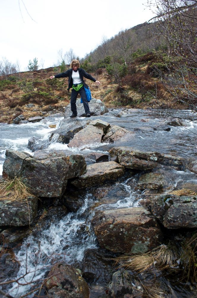
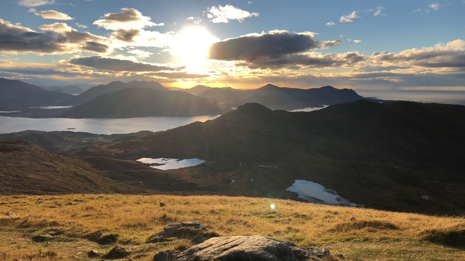
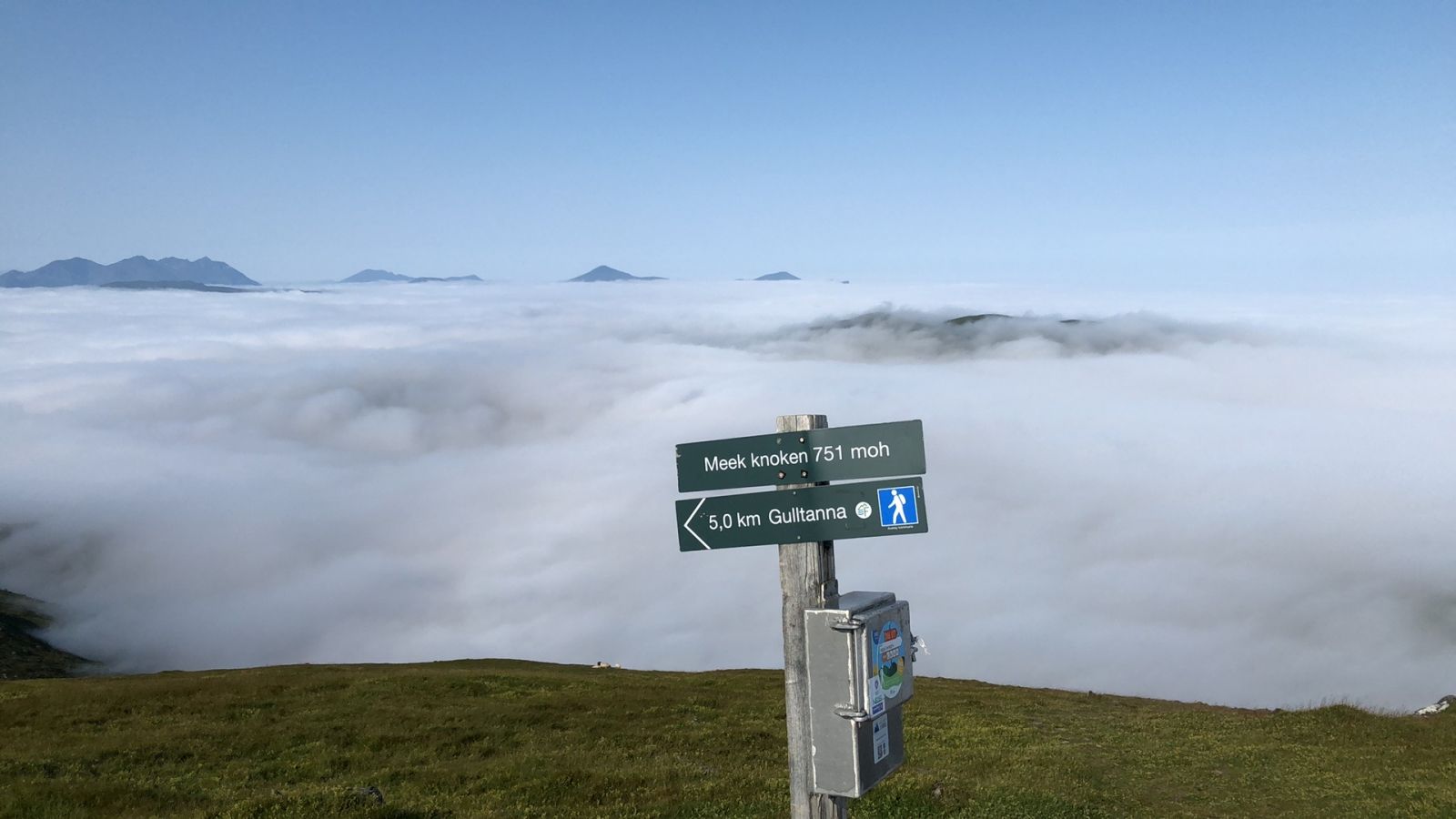
From the car park walk for a couple of metres to the left and then go up a narrower path (hillside) on the right. Walk for about 150 metres and then take the left turn onto a wider road which is used for construction purposes. From the point where the road ends, follow the path further to the right walking through the spruce forest and the Morkasætra farm. Carry on following the path until you come to the Morkaelva river which runs down from Litlvatnet lake. Cross the river. Follow the path up the ridge. Here you might think you are looking at the top, but what you see is not the top of Mount Meekknoken. You are now at the top of Steinkorga mountain. From here on, the terrain flattens out and you can follow the path walking across the flat areas before the it starts climbing up inwards in the direction of Meekknoken. The final part of the trail gets somewhat steeper again.NB! In winter there are often large snowdrifts covering the steep east side of the mountain top, so be careful and do not walk too far out.The first part of the trail passes through a grazing area for deer. Please see http://dnweb12.dirnat.no/nbinnsyn/asp/faktaark.asp?iid=BA00053353Biological diversity: There is a rich hardwood forest relatively close to the trail. Please see http://dnweb12.dirnat.no/nbinnsyn/asp/faktaark.asp?iid=BN00081897

Tilkomst og parkering

The trail starts in Mork on the inside of Averøy island. From Kristiansund and Bruhagen. Drive along County Road 64 (Fv64) to Bruhagen. You will see a road sign to Kvernes. Turn off County Road 64 (Fv 64) and onto County Road 247 (Fv247). Drive to Mork. It is about 19 km from Bruhagen. 450 metres before you arrive at the Mork stadium, the Grykameratene sports association’s facilities, turn off County Road 247 (Fv247) and take the turn to the right. There is a sign for Mount Meekknoken. From the Atlantic Road (Atlanterhavsveien). Follow the Atlantic Road to its end. Turn off County Road 64 (Fv64) at the T-junction and take the right turn onto County Road 247 (Fv247) in the direction of Kvernes museum. You will drive past the sign to Rånes and past Helsetvatnet lake on your right. At this point you will see the Mork stadium on your left-hand side. Drive for 450 metres after passing the Mork stadium and turn left. There is a sign for Mount Meekknoken. Drive for about 750 metres following the road up. Park your car on the right side of the road.

Park your car along the forest road in Mork. Free parking (you can support the road maintenance initiative using a special box installed at the car park). Please show your respect.
Hiking route
Red
Distance
3,43 km one way
Elevation
615 m
Duration
3 t. 15 min.
Highest Point
735 masl
Mobile coverage
Yes

Map route

Public transport

Buss connection with Mork. Take a bus to Bruhagen and then further to Mork. Please see http://www.177.no.

Map

Kristiansund tourist map. Or a map by Averøy municipality, please see: http://averoy.kommune.no/Filnedlasting.aspx?MId1=601&FilId=1820
Driving directions
Print