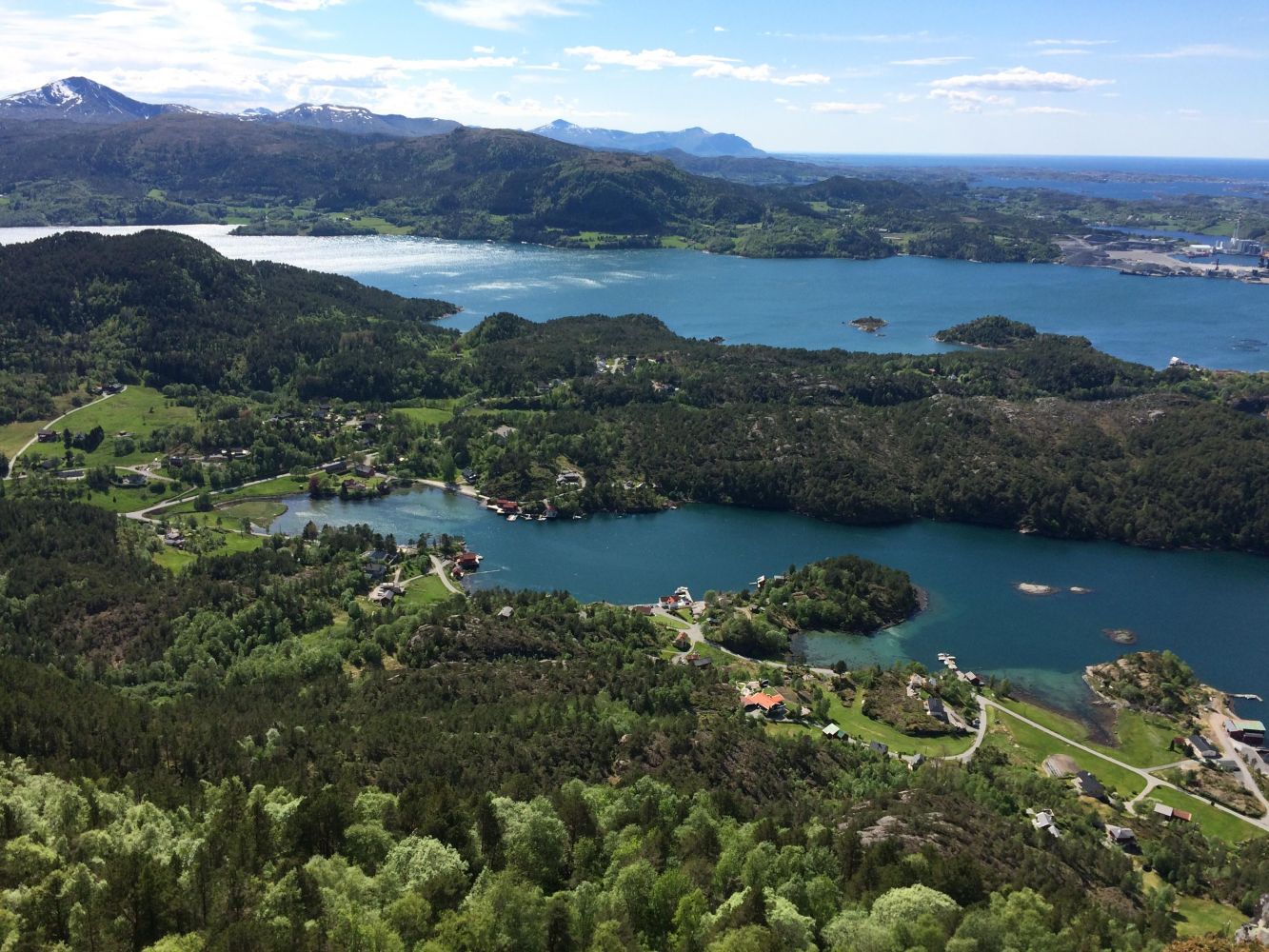
4-Fjell Frei
Kristiansund
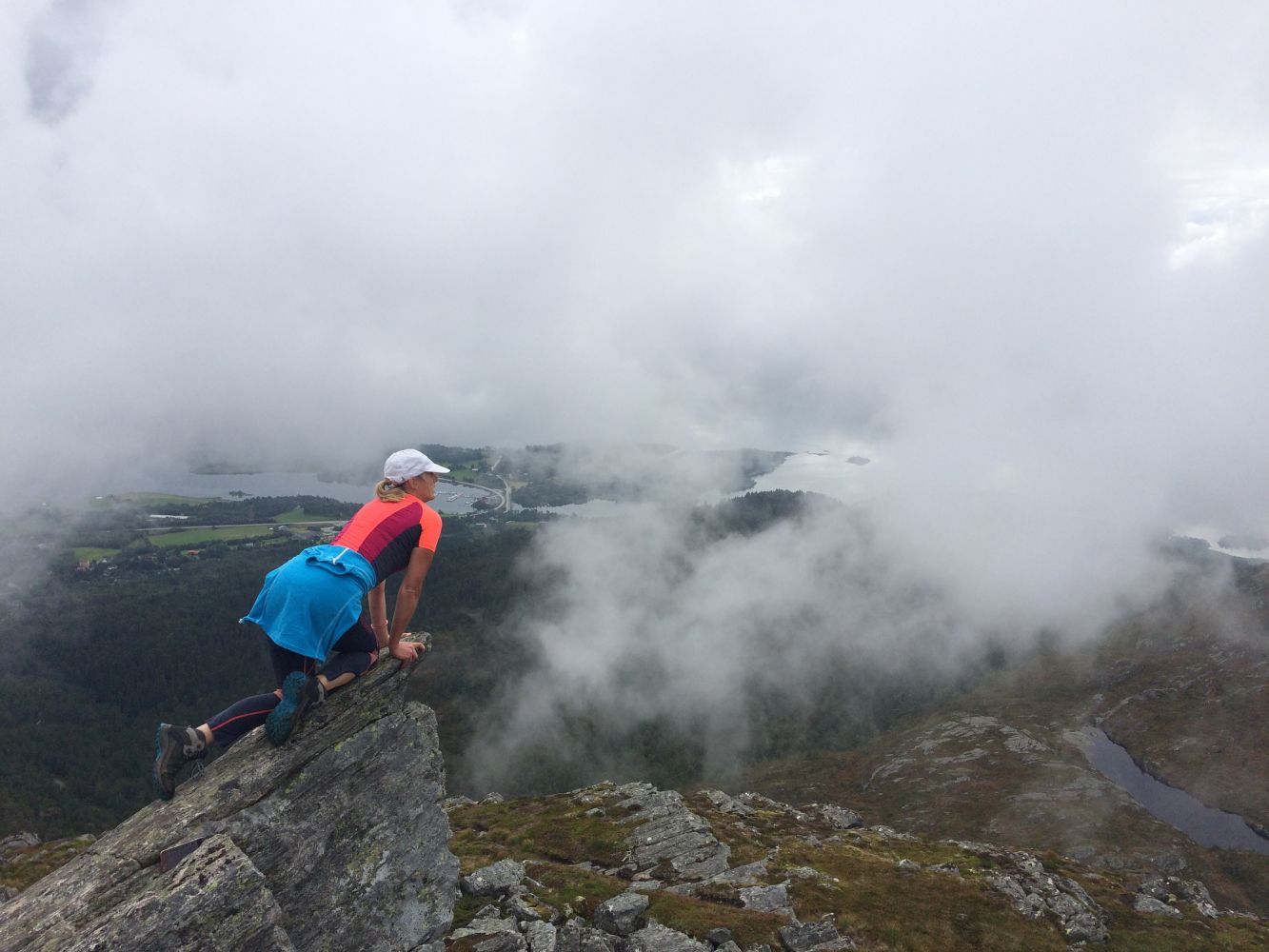
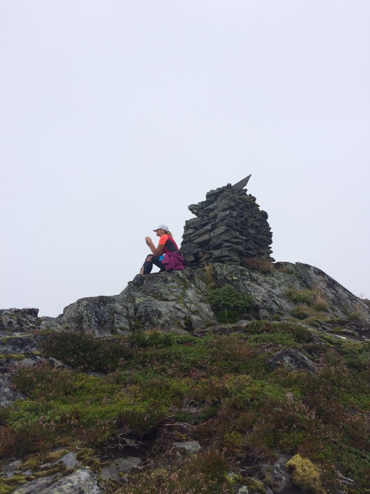
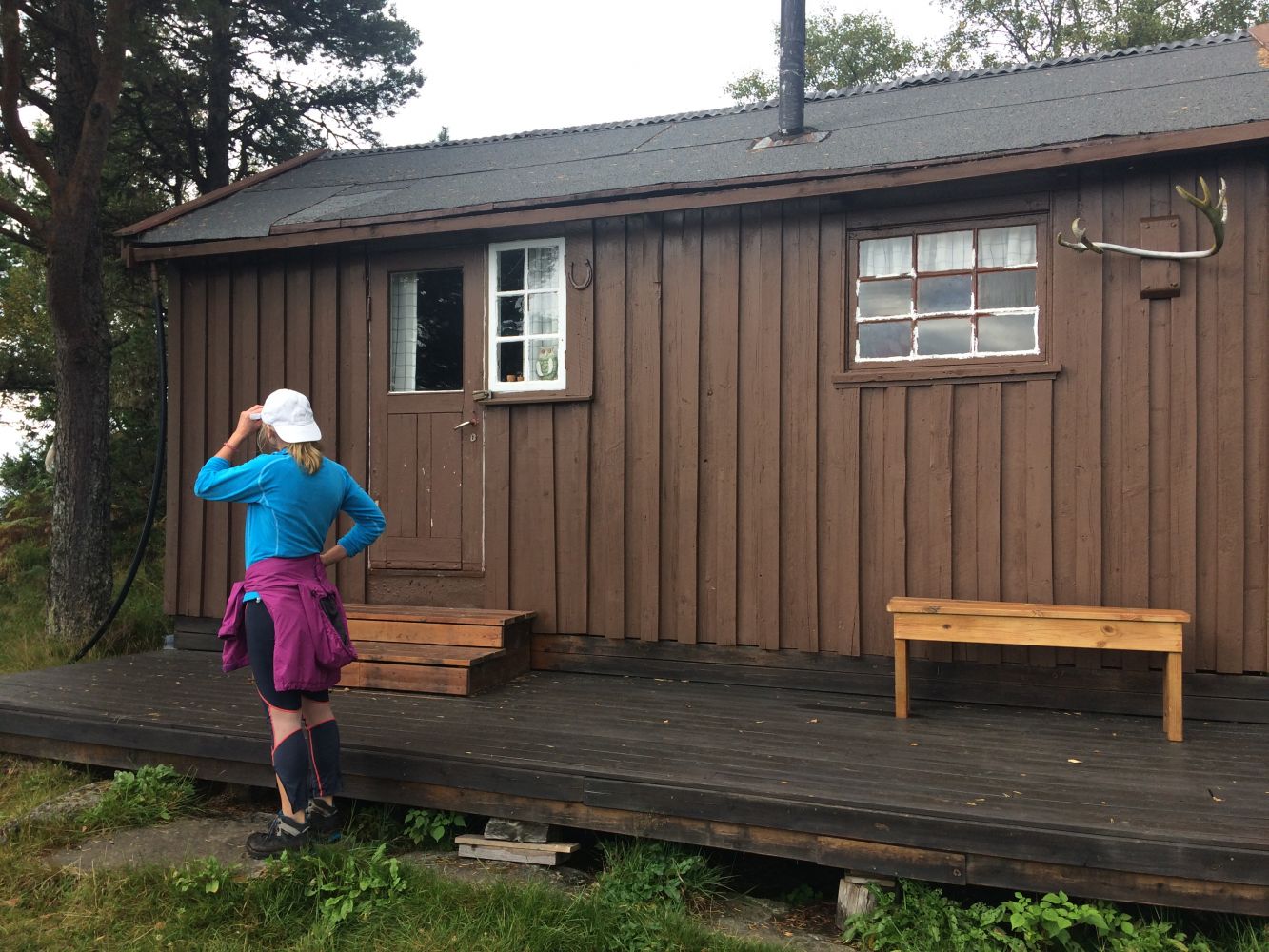
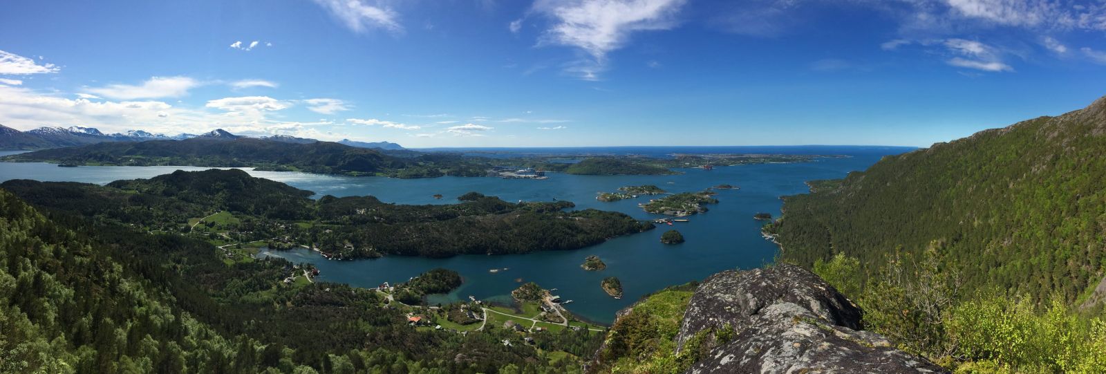
4-Fjell Frei is an organised hike arranged by Kristiansund and Nordmøre Trekking Societies. It is a great round-trip to the 4 summits in Frei that can be accessed nearly year-round. The route is approx. 14 km long and involves an incline, so you should estimate 5-6 hours for the entire trip.
The route starts at the alpine slopes and leads along Bolgavatnet lake before climbing up along the ridge of Freikollen. At the top of Freikollen, the trail flattens and most of the climbing is done. The trail continuing to Snipa and Lågfjellet is good. From Lågfjellet, passing Seterhaugen to Prestmyra, the trail splits into several paths. If the area is unfamiliar to you, GPS tracking would be helpful.
The starting point for the route is the parking area at Prestmyra Frei. Follow the Rv70 between Krifast and Rensvik. The parking area at Prestmyra is well marked.
Distance
14,01 km one way
Duration
5 t. 30 min.

Signage
No signage or markings
Mobile coverage
Partially
| Surface type |
Distance |
| Grus |
3 |
| Sti |
11 |
Norway series: Kristiansund
 Driving directions
 Route data
GeoJSON